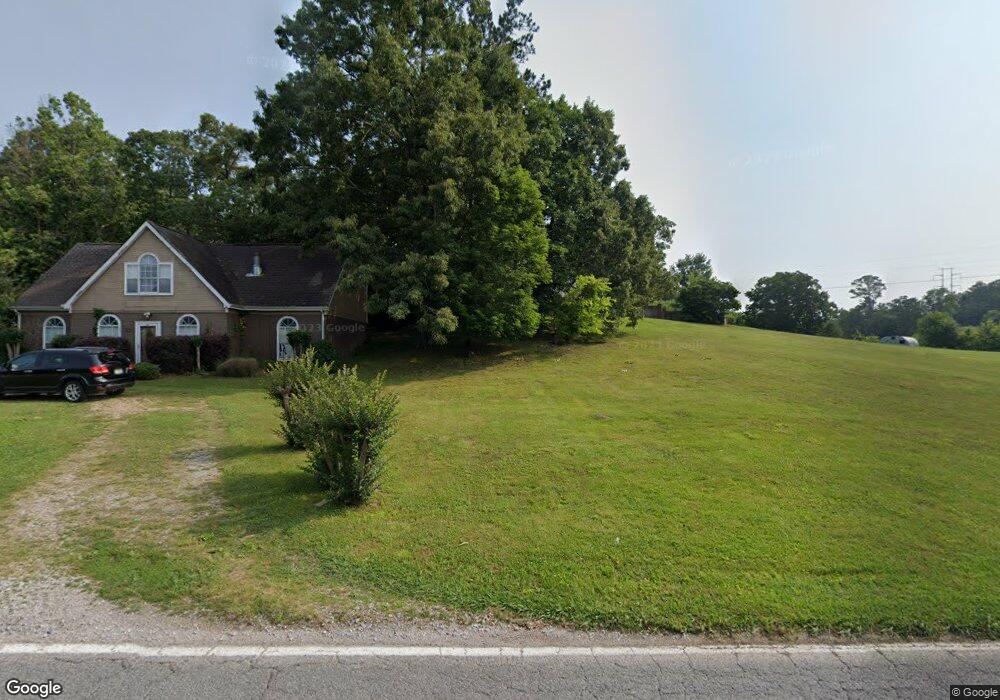
362 Dedmon Rd Ringgold, GA 30736
Estimated Value: $324,000 - $410,000
3
Beds
3
Baths
2,200
Sq Ft
$175/Sq Ft
Est. Value
About This Home
This home is located at 362 Dedmon Rd, Ringgold, GA 30736 and is currently estimated at $384,135, approximately $174 per square foot. 362 Dedmon Rd is a home located in Catoosa County with nearby schools including Ringgold Primary School, Ringgold Elementary School, and Heritage Middle School.
Ownership History
Date
Name
Owned For
Owner Type
Purchase Details
Closed on
Dec 27, 2004
Bought by
Lane David And
Current Estimated Value
Home Financials for this Owner
Home Financials are based on the most recent Mortgage that was taken out on this home.
Original Mortgage
$173,500
Outstanding Balance
$83,916
Interest Rate
5.63%
Mortgage Type
New Conventional
Estimated Equity
$300,219
Create a Home Valuation Report for This Property
The Home Valuation Report is an in-depth analysis detailing your home's value as well as a comparison with similar homes in the area
Home Values in the Area
Average Home Value in this Area
Purchase History
| Date | Buyer | Sale Price | Title Company |
|---|---|---|---|
| Lane David And | $173,500 | -- |
Source: Public Records
Mortgage History
| Date | Status | Borrower | Loan Amount |
|---|---|---|---|
| Open | Lane David And | $173,500 |
Source: Public Records
Tax History
| Year | Tax Paid | Tax Assessment Tax Assessment Total Assessment is a certain percentage of the fair market value that is determined by local assessors to be the total taxable value of land and additions on the property. | Land | Improvement |
|---|---|---|---|---|
| 2025 | $2,838 | $149,483 | $16,326 | $133,157 |
| 2024 | $3,107 | $145,696 | $12,237 | $133,459 |
| 2023 | $2,476 | $110,584 | $12,237 | $98,347 |
| 2022 | $1,911 | $85,372 | $11,654 | $73,718 |
| 2021 | $1,786 | $85,372 | $11,654 | $73,718 |
| 2020 | $1,719 | $74,279 | $11,099 | $63,180 |
| 2019 | $1,737 | $74,279 | $11,099 | $63,180 |
| 2018 | $1,835 | $74,279 | $11,099 | $63,180 |
| 2017 | $1,812 | $73,326 | $11,099 | $62,227 |
| 2016 | $1,628 | $62,657 | $5,571 | $57,086 |
| 2015 | -- | $62,657 | $5,571 | $57,086 |
| 2014 | -- | $67,278 | $10,192 | $57,086 |
| 2013 | -- | $67,278 | $10,192 | $57,086 |
Source: Public Records
Map
Nearby Homes
- 478 Dedmon Rd
- 166 Misty Ridge Ln
- 56 Ginger Dr
- 185 Cornerstone Dr
- 65 Night Shade Ln
- 506 Crestview Cir
- 486 E Sharon Cir
- 81 Shrader Ln
- 299 Southern Dr
- 63 Sunset Dr
- 428 Dodd Rd
- 155 Willowbrook Dr
- 204 Dodd Rd
- 8690 Alabama Hwy
- 391 Oak Tree Rd
- 0 Battlefield Pkwy Unit 1521890
- 138 Red Tail Dr
- 126 Red Tail Dr
- 0 Etowah Unit 129188
- 115 Red Tail Dr
- 388 Dedmon Rd
- 384 Dedmon Rd
- 54 Misty Ridge Ln
- 707 Misty Ridge Ln
- 86 Misty Ridge Ln
- 725 Misty Ridge Ln
- 371 Dedmon Rd
- 743 Misty Ridge Ln
- 351 Dedmon Rd
- 325 Dedmon Rd
- 331 Dedmon Rd
- 699 Misty Ridge Ln
- 411 Dedmon Rd
- 25 Misty Ridge Ln
- 63 Misty Ridge Ln
- 730 Misty Ridge Ln
- 75 Misty Ridge Ln
- 431 Dedmon Rd
- 679 Misty Ridge Ln
- 752 Misty Ridge Ln
Your Personal Tour Guide
Ask me questions while you tour the home.