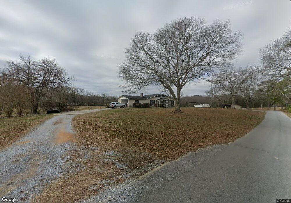
362 Fields Rd Cedartown, GA 30125
Estimated Value: $402,000 - $674,023
3
Beds
2
Baths
2,030
Sq Ft
$279/Sq Ft
Est. Value
About This Home
This home is located at 362 Fields Rd, Cedartown, GA 30125 and is currently estimated at $566,506, approximately $279 per square foot. 362 Fields Rd is a home located in Polk County.
Ownership History
Date
Name
Owned For
Owner Type
Purchase Details
Closed on
Dec 21, 2011
Sold by
Craig Judy Kay
Bought by
Hood Melissa S
Current Estimated Value
Purchase Details
Closed on
Nov 19, 2011
Sold by
Craig Judy Kay
Bought by
Hood Melissa S
Purchase Details
Closed on
May 13, 2002
Sold by
Miller Forrest Curtis Sr & Judy Kay Mill
Bought by
Miller Forrest Curtis St & Judy Kay Mill
Create a Home Valuation Report for This Property
The Home Valuation Report is an in-depth analysis detailing your home's value as well as a comparison with similar homes in the area
Purchase History
| Date | Buyer | Sale Price | Title Company |
|---|---|---|---|
| Hood Melissa S | $210,000 | -- | |
| Hood Melissa S | $210,000 | -- | |
| Miller Forrest Curtis St & Judy Kay Mill | -- | -- |
Source: Public Records
Tax History
| Year | Tax Paid | Tax Assessment Tax Assessment Total Assessment is a certain percentage of the fair market value that is determined by local assessors to be the total taxable value of land and additions on the property. | Land | Improvement |
|---|---|---|---|---|
| 2025 | $2,890 | $196,114 | $114,528 | $81,586 |
| 2024 | $4,099 | $196,114 | $114,528 | $81,586 |
| 2023 | $3,233 | $136,230 | $87,830 | $48,400 |
| 2022 | $3,233 | $136,230 | $87,830 | $48,400 |
| 2021 | $3,815 | $158,296 | $99,702 | $58,594 |
| 2020 | $2,361 | $98,021 | $61,585 | $36,436 |
| 2019 | $2,632 | $98,021 | $71,900 | $26,121 |
| 2018 | $3,745 | $135,923 | $99,702 | $36,221 |
| 2017 | $3,699 | $147,066 | $110,845 | $36,221 |
| 2016 | $2,526 | $92,823 | $56,602 | $36,221 |
| 2015 | $2,533 | $92,804 | $56,602 | $36,201 |
| 2014 | $2,552 | $92,804 | $56,602 | $36,201 |
Source: Public Records
Map
Nearby Homes
- 0 Wieuca Way Unit 10614129
- 000 Wieuca Way
- TRACT2 Wieuca Way
- 142 Acres On Judkin Mill Rd
- 95 Wieuca Way
- 00 Buchanan Hwy
- 874 Judkin Mill Rd
- 77 Morris Dr
- 45 York Cir
- 567 Morton Springs Rd
- 0 Old Esom Hill Loop Unit 10611077
- 0 Old Esom Hill Loop Unit 7654342
- 102 acres Youngs Farm Rd
- 00 Cornelius Rd
- 55 Lovvorn Rd
- 0 Buchanan Hwy Unit 10558945
- 0 Youngs Farm Rd Unit 26490185
- 232 Tuck St
- 1806 Piedmont Hwy
- 4550 Buchanan Hwy
Your Personal Tour Guide
Ask me questions while you tour the home.