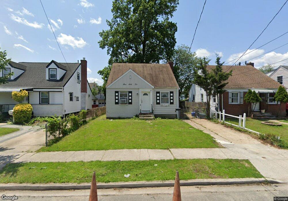
362 Locust Ave Uniondale, NY 11553
Estimated Value: $539,403 - $668,000
--
Bed
1
Bath
1,120
Sq Ft
$539/Sq Ft
Est. Value
About This Home
This home is located at 362 Locust Ave, Uniondale, NY 11553 and is currently estimated at $603,702, approximately $539 per square foot. 362 Locust Ave is a home located in Nassau County with nearby schools including Walnut Street Elementary School, Turtle Hook Middle School, and Uniondale High School.
Ownership History
Date
Name
Owned For
Owner Type
Purchase Details
Closed on
Jun 20, 1997
Current Estimated Value
Create a Home Valuation Report for This Property
The Home Valuation Report is an in-depth analysis detailing your home's value as well as a comparison with similar homes in the area
Home Values in the Area
Average Home Value in this Area
Purchase History
| Date | Buyer | Sale Price | Title Company |
|---|---|---|---|
| -- | -- | -- |
Source: Public Records
Tax History Compared to Growth
Tax History
| Year | Tax Paid | Tax Assessment Tax Assessment Total Assessment is a certain percentage of the fair market value that is determined by local assessors to be the total taxable value of land and additions on the property. | Land | Improvement |
|---|---|---|---|---|
| 2025 | $7,547 | $366 | $119 | $247 |
| 2024 | $2,866 | $366 | $119 | $247 |
| 2023 | $6,827 | $366 | $119 | $247 |
| 2022 | $6,827 | $366 | $119 | $247 |
| 2021 | $8,689 | $348 | $113 | $235 |
| 2020 | $6,864 | $536 | $448 | $88 |
| 2019 | $6,693 | $536 | $448 | $88 |
| 2018 | $6,361 | $536 | $0 | $0 |
| 2017 | $3,282 | $536 | $448 | $88 |
| 2016 | $6,070 | $536 | $448 | $88 |
| 2015 | $2,634 | $536 | $448 | $88 |
| 2014 | $2,634 | $536 | $448 | $88 |
| 2013 | $2,500 | $536 | $448 | $88 |
Source: Public Records
Map
Nearby Homes
- 335 Locust Ave
- 388 Maplegrove Ave
- 737 Lowell Rd
- 641 Lowell Rd
- 666 Lowell Rd
- 730 Goodrich St
- 1033 Tulsa St
- 727 Beck St
- 159 Gilroy Ave
- 692 Beck St
- 117 Spring Dr
- 121 Spring Dr
- 133 Spring Dr
- 546 Clark Place
- 103 Gilroy Ave
- 727 Windsor Rd
- 537 Duryea Ave
- 331 Spring Dr
- 571 Richmond Rd
- 383 Summer Ct Unit C383
- 366 Locust Ave
- 358 Locust Ave
- 354 Locust Ave
- 370 Locust Ave
- 345 Emerson Place
- 341 Emerson Place
- 350 Locust Ave
- 374 Locust Ave
- 346 Locust Ave
- 335 Emerson Place
- 361 Locust Ave
- 357 Locust Ave
- 365 Locust Ave
- 353 Locust Ave
- 378 Locust Ave
- 355 Emerson Place
- 369 Locust Ave
- 361 Emerson Place
- 349 Locust Ave
- 342 Locust Ave