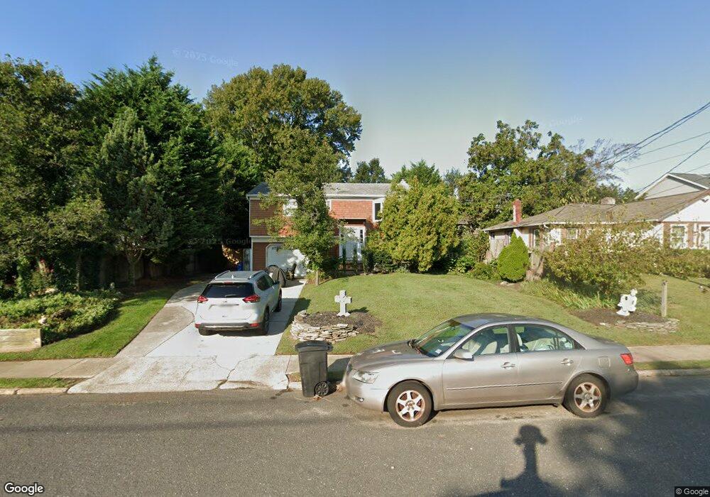
362 Macarthur Ave Long Branch, NJ 07740
Estimated Value: $610,000 - $706,000
4
Beds
3
Baths
1,620
Sq Ft
$402/Sq Ft
Est. Value
About This Home
This home is located at 362 Macarthur Ave, Long Branch, NJ 07740 and is currently estimated at $650,538, approximately $401 per square foot. 362 Macarthur Ave is a home located in Monmouth County with nearby schools including Long Branch High School and Holy Trinity School.
Ownership History
Date
Name
Owned For
Owner Type
Purchase Details
Closed on
Aug 2, 2014
Sold by
Dametz William R
Bought by
Dametz William R and Dametz Geraldine
Current Estimated Value
Purchase Details
Closed on
Nov 23, 1999
Sold by
Ciaglia Joseph
Bought by
Dametz William
Home Financials for this Owner
Home Financials are based on the most recent Mortgage that was taken out on this home.
Original Mortgage
$144,019
Outstanding Balance
$43,900
Interest Rate
7.73%
Mortgage Type
FHA
Estimated Equity
$606,638
Create a Home Valuation Report for This Property
The Home Valuation Report is an in-depth analysis detailing your home's value as well as a comparison with similar homes in the area
Home Values in the Area
Average Home Value in this Area
Purchase History
| Date | Buyer | Sale Price | Title Company |
|---|---|---|---|
| Dametz William R | -- | None Available | |
| Dametz William | $146,500 | -- |
Source: Public Records
Mortgage History
| Date | Status | Borrower | Loan Amount |
|---|---|---|---|
| Open | Dametz William | $144,019 |
Source: Public Records
Tax History Compared to Growth
Tax History
| Year | Tax Paid | Tax Assessment Tax Assessment Total Assessment is a certain percentage of the fair market value that is determined by local assessors to be the total taxable value of land and additions on the property. | Land | Improvement |
|---|---|---|---|---|
| 2025 | $6,846 | $530,000 | $299,000 | $231,000 |
| 2024 | $6,374 | $445,400 | $224,500 | $220,900 |
| 2023 | $6,374 | $410,400 | $199,500 | $210,900 |
| 2022 | $5,783 | $356,200 | $170,400 | $185,800 |
| 2021 | $5,783 | $314,100 | $140,400 | $173,700 |
| 2020 | $6,418 | $307,100 | $134,400 | $172,700 |
| 2019 | $6,077 | $289,100 | $124,400 | $164,700 |
| 2018 | $5,900 | $279,100 | $120,400 | $158,700 |
| 2017 | $5,544 | $269,000 | $113,400 | $155,600 |
| 2016 | $5,497 | $272,000 | $120,400 | $151,600 |
| 2015 | $5,240 | $235,300 | $99,700 | $135,600 |
| 2014 | $5,035 | $238,300 | $118,000 | $120,300 |
Source: Public Records
Map
Nearby Homes
- 154 Atlantic Ave
- 323 Florence Ave
- 381 Long Branch Ave
- 188 Chelton Ave
- 172 Chelton Ave
- 392 Florence Ave
- 164 Airsdale Ave
- 138 Rosewood Ave
- 165 Kingsley St
- 231 Long Branch Ave
- 16 Shore Dr
- 28 Patten Ln
- 432 Ocean Blvd N Unit 506
- 432 Ocean Blvd N Unit 315
- 9 Manahassett Park Dr
- 422 Ocean Blvd N Unit 5H
- 211 Rockwell Ave
- 40 Seaview Ave Unit A
- 200 Ocean Ave N Unit 13
- 200 Ocean Ave N Unit 19
- 364 Macarthur Ave
- 360 Macarthur Ave
- 366 Macarthur Ave
- 359 Sterling Place
- 368 Macarthur Ave
- 157 Avenel Blvd
- 161 Avenel Blvd
- 357 Sterling Place
- 359 Macarthur Ave
- 359 Macarthur Ave Unit A
- 359 Macarthur Ave Unit RA
- 359 Macarthur Ave Unit W
- 359 Macarthur Ave Unit R
- 359 Macarthur Ave Unit Winter
- 359 Macarthur Ave Unit Rear Winter
- 359 Macarthur Ave Unit AUGUST
- 359 Macarthur Ave Unit Rear
- 363 Macarthur Ave
- 165 Avenel Blvd
- 365 Macarthur Ave