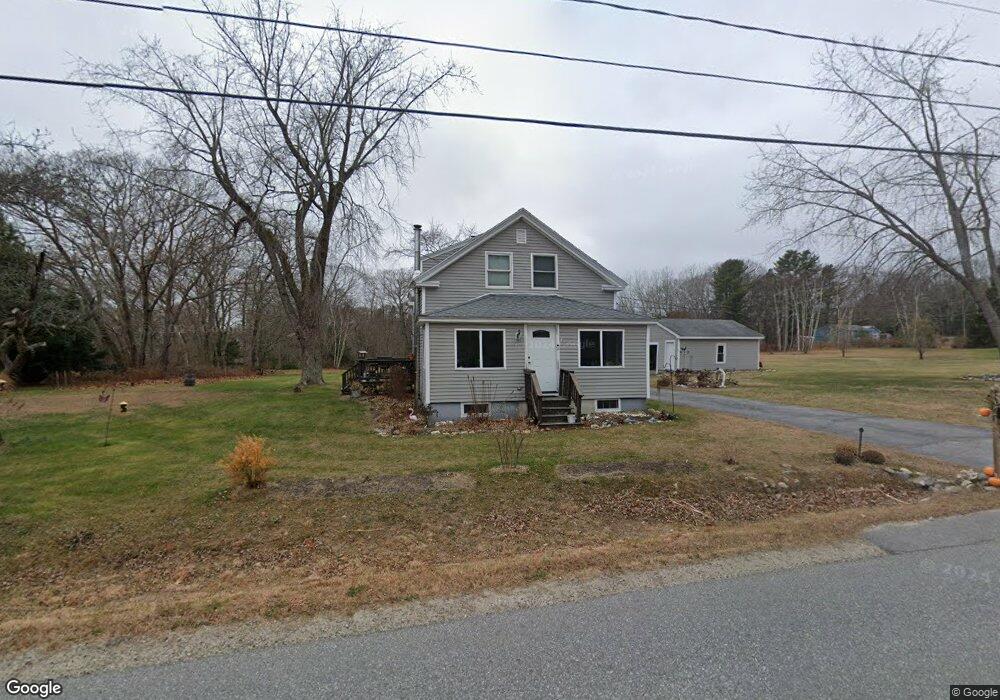
362 Maquoit Rd Brunswick, ME 04011
Estimated Value: $432,000 - $562,000
2
Beds
2
Baths
1,331
Sq Ft
$362/Sq Ft
Est. Value
About This Home
This home is located at 362 Maquoit Rd, Brunswick, ME 04011 and is currently estimated at $482,408, approximately $362 per square foot. 362 Maquoit Rd is a home located in Cumberland County with nearby schools including Kate Furbish Elementary School, Brunswick Jr High School, and Brunswick High School.
Ownership History
Date
Name
Owned For
Owner Type
Purchase Details
Closed on
Nov 1, 2018
Sold by
Bean Judith E
Bought by
Devereaux Daniel R
Current Estimated Value
Home Financials for this Owner
Home Financials are based on the most recent Mortgage that was taken out on this home.
Original Mortgage
$255,250
Outstanding Balance
$223,519
Interest Rate
4.6%
Mortgage Type
Unknown
Estimated Equity
$258,889
Purchase Details
Closed on
Mar 14, 2005
Sold by
Fickett Edgar R
Bought by
Bean Scott D and Bean Judith E
Create a Home Valuation Report for This Property
The Home Valuation Report is an in-depth analysis detailing your home's value as well as a comparison with similar homes in the area
Home Values in the Area
Average Home Value in this Area
Purchase History
| Date | Buyer | Sale Price | Title Company |
|---|---|---|---|
| Devereaux Daniel R | -- | -- | |
| Bean Scott D | -- | -- |
Source: Public Records
Mortgage History
| Date | Status | Borrower | Loan Amount |
|---|---|---|---|
| Open | Devereaux Daniel R | $255,250 |
Source: Public Records
Tax History Compared to Growth
Tax History
| Year | Tax Paid | Tax Assessment Tax Assessment Total Assessment is a certain percentage of the fair market value that is determined by local assessors to be the total taxable value of land and additions on the property. | Land | Improvement |
|---|---|---|---|---|
| 2024 | $5,395 | $226,200 | $69,000 | $157,200 |
| 2023 | $5,268 | $226,200 | $69,000 | $157,200 |
| 2022 | $5,002 | $230,600 | $69,000 | $161,600 |
| 2021 | $4,810 | $230,600 | $69,000 | $161,600 |
| 2020 | $4,697 | $230,600 | $69,000 | $161,600 |
| 2019 | $4,547 | $230,600 | $69,000 | $161,600 |
| 2018 | $3,670 | $230,600 | $69,000 | $161,600 |
| 2017 | $3,542 | $230,600 | $69,000 | $161,600 |
| 2016 | $3,857 | $131,400 | $30,200 | $101,200 |
| 2015 | $3,727 | $131,400 | $30,200 | $101,200 |
| 2014 | $3,409 | $131,400 | $30,200 | $101,200 |
| 2013 | -- | $131,400 | $30,200 | $101,200 |
Source: Public Records
Map
Nearby Homes
- 564 Mere Point Rd
- 650 Mere Point Rd
- 0 Gundalo Gap Rd Unit 1638108
- 80 Scarponi Dr
- 66 Gleed Dr
- 384 Mere Point Rd
- 19 Lynch St
- 6 Chebeague Ln
- 24 Elwell Ln
- 5 Round Hill Ln
- 10 Kitt St
- 360 Church Rd
- 6 Sagamore Ln
- 0 Melden Dr
- 6 Melden Dr
- 853 Mere Point Rd
- 31 Tarratine Dr
- 890 Mere Point Rd
- Lot #0 Church Rd
- 60 County Crossing
- 374 Maquoit Rd
- 356 Maquoit Rd
- 371 Maquoit Rd
- 379 Maquoit Rd
- 348 Maquoit Rd
- 382 Maquoit Rd
- 343 Maquoit Rd
- 352 Maquoit Rd
- 344 Maquoit Rd
- 335 Maquoit Rd
- 385 Maquoit Rd
- 393 Maquoit Rd
- 336 Maquoit Rd
- 334 Maquoit Rd
- 467 Woodside Rd
- 459 Woodside Rd
- 453 Woodside Rd
- 433 Woodside Rd
- 447 Woodside Rd
- 326 Maquoit Rd