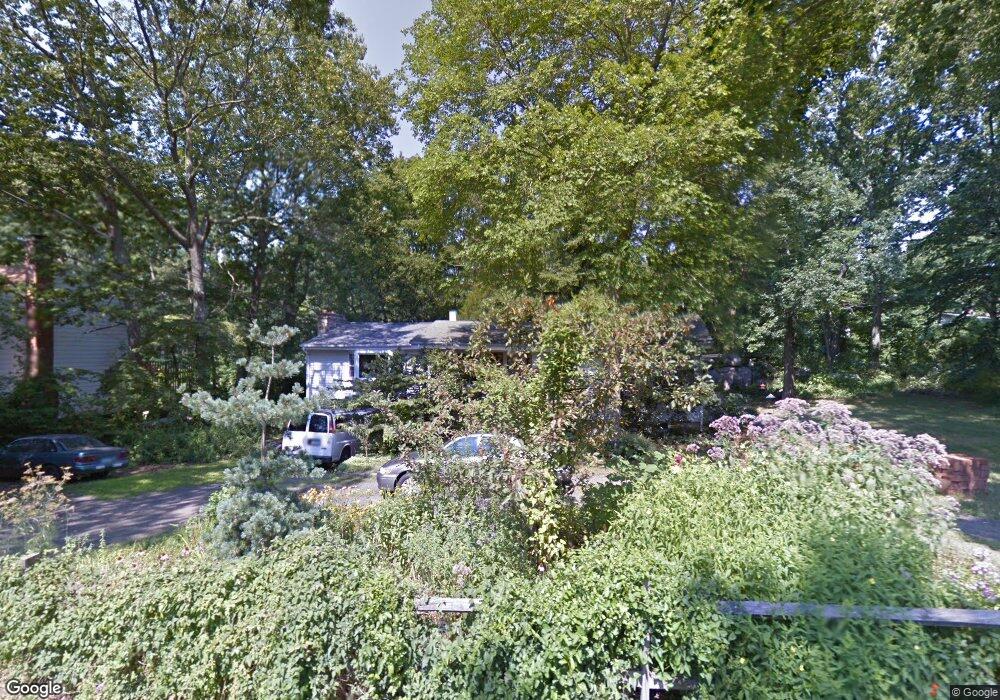
362 Mulberry Point Rd Guilford, CT 06437
Estimated Value: $562,000 - $704,000
4
Beds
3
Baths
1,624
Sq Ft
$392/Sq Ft
Est. Value
About This Home
This home is located at 362 Mulberry Point Rd, Guilford, CT 06437 and is currently estimated at $635,847, approximately $391 per square foot. 362 Mulberry Point Rd is a home located in New Haven County with nearby schools including E.C. Adams Middle School, A. Baldwin Middle School, and Guilford High School.
Ownership History
Date
Name
Owned For
Owner Type
Purchase Details
Closed on
Jun 29, 2001
Sold by
Nazzaro Anthony J and Nazzaro Paula A
Bought by
Johnson Peter L
Current Estimated Value
Purchase Details
Closed on
Sep 29, 1995
Sold by
Kricker Ralph and Kricker Beth
Bought by
Nazzaro Anthony and Nazzaro Paula
Create a Home Valuation Report for This Property
The Home Valuation Report is an in-depth analysis detailing your home's value as well as a comparison with similar homes in the area
Home Values in the Area
Average Home Value in this Area
Purchase History
| Date | Buyer | Sale Price | Title Company |
|---|---|---|---|
| Johnson Peter L | $210,000 | -- | |
| Nazzaro Anthony | $160,900 | -- |
Source: Public Records
Mortgage History
| Date | Status | Borrower | Loan Amount |
|---|---|---|---|
| Open | Nazzaro Anthony | $263,483 | |
| Closed | Nazzaro Anthony | $264,088 |
Source: Public Records
Tax History Compared to Growth
Tax History
| Year | Tax Paid | Tax Assessment Tax Assessment Total Assessment is a certain percentage of the fair market value that is determined by local assessors to be the total taxable value of land and additions on the property. | Land | Improvement |
|---|---|---|---|---|
| 2025 | $8,884 | $321,300 | $200,970 | $120,330 |
| 2024 | $8,540 | $321,300 | $200,970 | $120,330 |
| 2023 | $8,315 | $321,300 | $200,970 | $120,330 |
| 2022 | $6,713 | $201,880 | $131,670 | $70,210 |
| 2021 | $6,585 | $201,880 | $131,670 | $70,210 |
| 2020 | $6,523 | $201,880 | $131,670 | $70,210 |
| 2019 | $6,466 | $201,880 | $131,670 | $70,210 |
| 2018 | $6,315 | $201,880 | $131,670 | $70,210 |
| 2017 | $6,394 | $217,780 | $137,220 | $80,560 |
| 2016 | $6,244 | $217,780 | $137,220 | $80,560 |
| 2015 | $6,150 | $217,780 | $137,220 | $80,560 |
| 2014 | $5,972 | $217,780 | $137,220 | $80,560 |
Source: Public Records
Map
Nearby Homes
- 201 Mulberry Point Rd
- 76 Sachem Head Rd
- 66 High St Unit 38
- 66 High St Unit 36
- 66 High St Unit 17
- 66 High St Unit 40
- 140 Wildrose Ave
- 379 Whitfield St Unit CN946
- 35 Bayberry Ln
- 134 Water St
- 52 Seaside Ave
- 174 Whitfield St
- 427 3 Mile Course
- 65 Water St
- 505 Old Whitfield St
- 12 Paddock Ln
- 64 Boston St
- 51 Pearl St
- 82 State St
- 575 Leetes Island Rd
- 354 Mulberry Point Rd
- 35 Sylvan Hills Rd
- 53 Sylvan Hills Rd
- 384 Mulberry Point Rd
- 363 Mulberry Point Rd
- 81 Sylvan Hills Rd
- 330 Mulberry Point Rd
- 377 Mulberry Point Rd
- 21 Sylvan Hills Rd
- 39 Chaffinch Island Rd
- 50 Sylvan Hills Rd
- 68 Sylvan Hills Rd
- 315 Mulberry Point Rd
- 333 Mulberry Point Rd
- 399 Mulberry Point Rd
- 99 Sylvan Hills Rd
- 28 Sylvan Hills Rd
- 127 Chaffinch Island Rd
- 98 Sylvan Hills Rd
- 292 Mulberry Point Rd