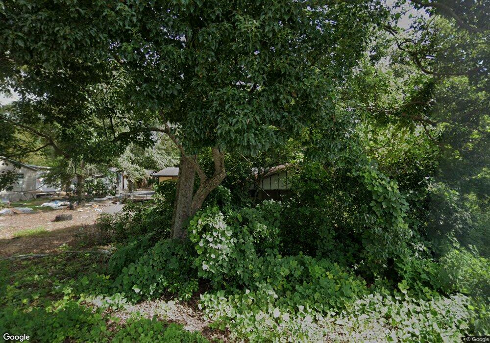
Estimated Value: $86,000 - $107,000
--
Bed
1
Bath
1,350
Sq Ft
$70/Sq Ft
Est. Value
About This Home
This home is located at 362 N Brunswick Ln, Jesup, GA 31546 and is currently estimated at $95,084, approximately $70 per square foot. 362 N Brunswick Ln is a home located in Wayne County with nearby schools including Martha Rawls Smith Elementary School, Arthur Williams Middle School, and Wayne County High School.
Ownership History
Date
Name
Owned For
Owner Type
Purchase Details
Closed on
May 24, 2024
Sold by
Wayne County
Bought by
Anthonys Bargain Co
Current Estimated Value
Purchase Details
Closed on
Feb 21, 2014
Sold by
Blanton Wiley Eugene
Bought by
Blanton Wiley Eugene
Purchase Details
Closed on
Apr 1, 2001
Sold by
Blocker James D and Blocker Elease
Bought by
Blanton Glenn H
Purchase Details
Closed on
Feb 1, 1978
Bought by
Blocker James D and Blocker Elease
Purchase Details
Closed on
Oct 1, 1973
Purchase Details
Closed on
Dec 1, 1971
Create a Home Valuation Report for This Property
The Home Valuation Report is an in-depth analysis detailing your home's value as well as a comparison with similar homes in the area
Home Values in the Area
Average Home Value in this Area
Purchase History
| Date | Buyer | Sale Price | Title Company |
|---|---|---|---|
| Anthonys Bargain Co | $14,550 | -- | |
| Blanton Wiley Eugene | -- | -- | |
| Blanton Glenn H | -- | -- | |
| Blocker James D | -- | -- | |
| -- | -- | -- | |
| -- | -- | -- |
Source: Public Records
Tax History Compared to Growth
Tax History
| Year | Tax Paid | Tax Assessment Tax Assessment Total Assessment is a certain percentage of the fair market value that is determined by local assessors to be the total taxable value of land and additions on the property. | Land | Improvement |
|---|---|---|---|---|
| 2024 | -- | $16,077 | $2,500 | $13,577 |
| 2023 | $418 | $11,818 | $2,460 | $9,358 |
| 2022 | $418 | $11,818 | $2,460 | $9,358 |
| 2021 | $418 | $11,818 | $2,460 | $9,358 |
| 2020 | $418 | $11,818 | $2,460 | $9,358 |
| 2019 | $418 | $11,818 | $2,460 | $9,358 |
| 2018 | $87 | $2,430 | $2,430 | $0 |
| 2017 | $369 | $2,430 | $2,430 | $0 |
| 2016 | $73 | $2,430 | $2,430 | $0 |
| 2014 | $73 | $2,430 | $2,430 | $0 |
| 2013 | -- | $2,430 | $2,430 | $0 |
Source: Public Records
Map
Nearby Homes
- 249 Pine Ridge Rd
- 217 E Pine St
- 217 Pine Ridge Rd
- 207 E Pine St
- 436-441 Brunswick St
- Apt E Oak St
- 385 N Hickory St
- 197 NW Broad St
- 498 NE Broad St
- 447 NE Broad St
- 548 N Cypress St
- 455 N Mahogany St
- 0 E Oak St
- 658 E Walnut St
- 0 U S 84
- 0 N 4th St
- 0 N 4th St Unit 10414401
- 241 S Elm Ln
- 111 N Mahogany St
- 00 84 Hwy
- 355 N Wayne St
- 357 N Wayne St
- 356 N Brunswick St
- 396 N Brunswick St
- 365 N Brunswick St
- 398 N Brunswick St
- 356 N Wayne St
- 380 N Wayne St
- 348 N Wayne St
- 229 E Pine St
- 342 N Wayne St
- 392 N Wayne St
- 211 E Pine St
- 249 E Pine St
- 249 Pine Rd
- 0 Us Hwy 341 Hwy Unit 17718
- 0 Us Hwy 341 Hwy Unit 1640712
- 0 Us Hwy 341 Hwy Unit 20077044
- 398 N Wayne St
- 0 Parcel 3 Us Hwy 341 S Unit 1644286
