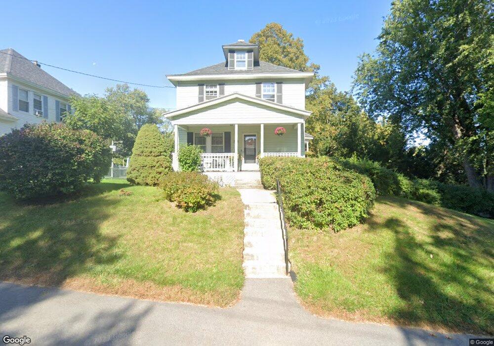
362 Osgood St North Andover, MA 01845
Estimated Value: $535,000 - $626,000
3
Beds
2
Baths
1,368
Sq Ft
$425/Sq Ft
Est. Value
About This Home
This home is located at 362 Osgood St, North Andover, MA 01845 and is currently estimated at $581,930, approximately $425 per square foot. 362 Osgood St is a home located in Essex County with nearby schools including Kittredge Elementary School, North Andover Middle School, and North Andover High School.
Ownership History
Date
Name
Owned For
Owner Type
Purchase Details
Closed on
Nov 6, 2025
Sold by
362 Osgood Street Rt and Edwards
Bought by
Edwards Kimberly J
Current Estimated Value
Purchase Details
Closed on
Oct 15, 2020
Sold by
Edwards Kimberly J
Bought by
362 Osgood Street Rt and Edwards
Purchase Details
Closed on
Aug 25, 2011
Sold by
Edwards Peter J
Bought by
Edwards Kimberly J
Purchase Details
Closed on
Sep 25, 1998
Sold by
Pelich Suzanne
Bought by
Edwards Peter J
Create a Home Valuation Report for This Property
The Home Valuation Report is an in-depth analysis detailing your home's value as well as a comparison with similar homes in the area
Home Values in the Area
Average Home Value in this Area
Purchase History
| Date | Buyer | Sale Price | Title Company |
|---|---|---|---|
| Edwards Kimberly J | -- | -- | |
| 362 Osgood Street Rt | -- | None Available | |
| Edwards Kimberly J | -- | -- | |
| Edwards Kimberly J | -- | -- | |
| Edwards Peter J | $175,000 | -- |
Source: Public Records
Mortgage History
| Date | Status | Borrower | Loan Amount |
|---|---|---|---|
| Previous Owner | Edwards Peter J | $240,000 |
Source: Public Records
Tax History Compared to Growth
Tax History
| Year | Tax Paid | Tax Assessment Tax Assessment Total Assessment is a certain percentage of the fair market value that is determined by local assessors to be the total taxable value of land and additions on the property. | Land | Improvement |
|---|---|---|---|---|
| 2025 | $5,838 | $518,500 | $307,500 | $211,000 |
| 2024 | $5,482 | $494,300 | $289,400 | $204,900 |
| 2023 | $5,382 | $439,700 | $265,900 | $173,800 |
| 2022 | $5,313 | $392,700 | $238,800 | $153,900 |
| 2021 | $5,084 | $358,800 | $217,100 | $141,700 |
| 2020 | $4,930 | $358,800 | $217,100 | $141,700 |
| 2019 | $4,900 | $365,400 | $217,100 | $148,300 |
| 2018 | $5,309 | $365,400 | $217,100 | $148,300 |
| 2017 | $4,518 | $316,400 | $182,200 | $134,200 |
| 2016 | $4,492 | $314,800 | $178,800 | $136,000 |
| 2015 | $4,163 | $289,300 | $172,600 | $116,700 |
Source: Public Records
Map
Nearby Homes
- 16 Court St
- 98 Mill Pond
- 112 Mill Pond
- 115 Mill Pond
- 116 Mill Pond
- 12 Walker Rd Unit 6
- 11 W Bradstreet Rd
- 19 Fernview Ave Unit 6
- 19 Fernview Ave Unit 5
- 25 Fernview Ave Unit 8
- 23 Fernview Ave Unit 1
- 35 Fernview Ave Unit 5
- 168 Greene St
- 40 Fernview Ave Unit 11
- 52 Fernview Ave Unit 7
- 447 Stevens St
- 387 Massachusetts Ave
- 3 Great Pond Rd
- 90 Edgelawn Ave Unit 1
- 75 Edgelawn Ave Unit 1
- 13 Concord St
- 358 Osgood St
- 11 Concord St Unit 1
- 348 Osgood St
- 355 Osgood St Unit 2
- 355 Osgood St
- 357 Osgood St
- 355 Osgood St Unit 355
- 357 Osgood St Unit 357
- 357 Osgood St Unit 1
- 351 Osgood St
- 350 Osgood St
- 21 Concord St
- 21 Concord St Unit 21
- 60 Mill Pond
- 60 Mill Pond Unit 60
- 12 Concord St
- 12 Concord St Unit 12
- 23 Concord St
- 23 Concord St