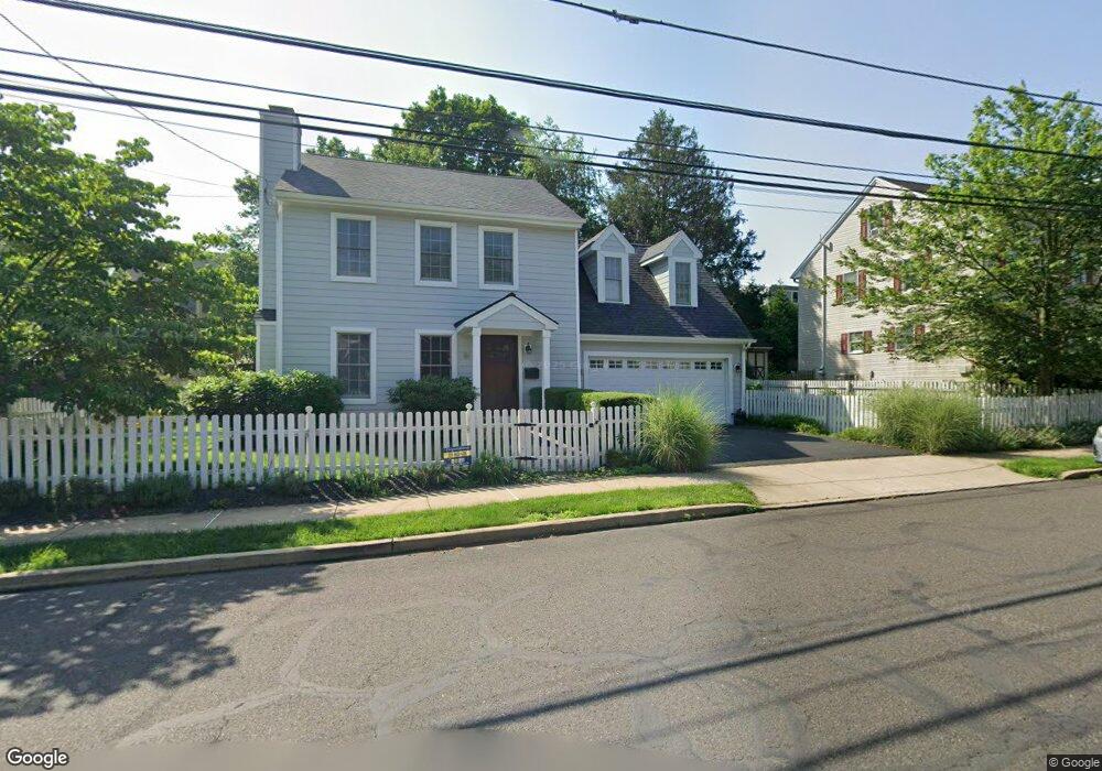
362 Union St Doylestown, PA 18901
Estimated Value: $713,000 - $820,000
3
Beds
3
Baths
1,634
Sq Ft
$464/Sq Ft
Est. Value
About This Home
This home is located at 362 Union St, Doylestown, PA 18901 and is currently estimated at $758,651, approximately $464 per square foot. 362 Union St is a home located in Bucks County with nearby schools including Doyle El School, Lenape Middle School, and Central Bucks High School-West.
Ownership History
Date
Name
Owned For
Owner Type
Purchase Details
Closed on
Aug 8, 1996
Sold by
Butts Robert J and Butts Grace Ann
Bought by
Logue Kenneth G and Logue Amy S
Current Estimated Value
Home Financials for this Owner
Home Financials are based on the most recent Mortgage that was taken out on this home.
Original Mortgage
$178,000
Outstanding Balance
$13,191
Interest Rate
7.5%
Estimated Equity
$745,460
Purchase Details
Closed on
Jun 29, 1992
Bought by
Butts Robert J and Grace Ann
Create a Home Valuation Report for This Property
The Home Valuation Report is an in-depth analysis detailing your home's value as well as a comparison with similar homes in the area
Home Values in the Area
Average Home Value in this Area
Purchase History
| Date | Buyer | Sale Price | Title Company |
|---|---|---|---|
| Logue Kenneth G | $188,000 | -- | |
| Butts Robert J | $176,000 | -- |
Source: Public Records
Mortgage History
| Date | Status | Borrower | Loan Amount |
|---|---|---|---|
| Open | Logue Kenneth G | $178,000 |
Source: Public Records
Tax History
| Year | Tax Paid | Tax Assessment Tax Assessment Total Assessment is a certain percentage of the fair market value that is determined by local assessors to be the total taxable value of land and additions on the property. | Land | Improvement |
|---|---|---|---|---|
| 2025 | $6,608 | $36,680 | $5,280 | $31,400 |
| 2024 | $6,608 | $36,680 | $5,280 | $31,400 |
| 2023 | $6,295 | $36,680 | $5,280 | $31,400 |
| 2022 | $6,208 | $36,680 | $5,280 | $31,400 |
| 2021 | $6,140 | $36,680 | $5,280 | $31,400 |
| 2020 | $6,072 | $36,680 | $5,280 | $31,400 |
| 2019 | $6,005 | $36,680 | $5,280 | $31,400 |
| 2018 | $5,932 | $36,680 | $5,280 | $31,400 |
| 2017 | $5,870 | $36,680 | $5,280 | $31,400 |
| 2016 | $5,870 | $36,680 | $5,280 | $31,400 |
| 2015 | -- | $36,680 | $5,280 | $31,400 |
| 2014 | -- | $36,680 | $5,280 | $31,400 |
Source: Public Records
Map
Nearby Homes
- 190 Decatur St
- 215 N Franklin St
- 195 Lafayette St
- 69 E Oakland Ave
- 11-13 Aspen Way Unit 1113
- 9 Mill Creek Dr
- 169 N Main St
- 102 Clear Springs Ct
- 110 E Ashland St
- 236 Green St
- 146 E Court St
- 150 Selner Ln
- 2401 Lower State Rd Unit 102
- 45 Latham Ct Unit 45
- 163 Progress Dr
- 1 Steeplechase Dr
- 33 Hibiscus Ct Unit 33
- 6 Edison Ln Unit 1
- 225 Chestnut Valley Dr
- 807 N Broad St
- 364 Union St
- 223 Decatur St
- 229 Decatur St
- 215 N West St
- 219 Decatur St
- 233 Decatur St
- 239 Decatur St
- 215 Decatur St
- 361 Union St
- 375 Union St
- 207 Decatur St
- 343 Union St
- 203 Decatur St
- 216 Decatur St
- 199 Decatur St
- 23 N West St
- 331 Union St
- 211 N West St Unit 211B
- 211 N West St Unit 211A
- 211 N West St
Your Personal Tour Guide
Ask me questions while you tour the home.