362 Wilcrest Dr Unit 362 Houston, TX 77042
Briar Forest NeighborhoodEstimated Value: $173,973 - $197,000
2
Beds
3
Baths
1,740
Sq Ft
$107/Sq Ft
Est. Value
About This Home
This home is located at 362 Wilcrest Dr Unit 362, Houston, TX 77042 and is currently estimated at $186,993, approximately $107 per square foot. 362 Wilcrest Dr Unit 362 is a home located in Harris County with nearby schools including Askew Elementary School, Paul Revere Middle School, and Westside High School.
Ownership History
Date
Name
Owned For
Owner Type
Purchase Details
Closed on
Jul 19, 2005
Sold by
Emadipour Sauan G and Emadipour Susan G
Bought by
Burrows Billy Wade
Current Estimated Value
Home Financials for this Owner
Home Financials are based on the most recent Mortgage that was taken out on this home.
Original Mortgage
$101,269
Outstanding Balance
$52,590
Interest Rate
5.58%
Mortgage Type
Fannie Mae Freddie Mac
Estimated Equity
$134,403
Create a Home Valuation Report for This Property
The Home Valuation Report is an in-depth analysis detailing your home's value as well as a comparison with similar homes in the area
Home Values in the Area
Average Home Value in this Area
Purchase History
| Date | Buyer | Sale Price | Title Company |
|---|---|---|---|
| Burrows Billy Wade | -- | Startex Title Company |
Source: Public Records
Mortgage History
| Date | Status | Borrower | Loan Amount |
|---|---|---|---|
| Open | Burrows Billy Wade | $101,269 |
Source: Public Records
Tax History Compared to Growth
Tax History
| Year | Tax Paid | Tax Assessment Tax Assessment Total Assessment is a certain percentage of the fair market value that is determined by local assessors to be the total taxable value of land and additions on the property. | Land | Improvement |
|---|---|---|---|---|
| 2025 | $25 | $189,776 | $36,057 | $153,719 |
| 2024 | $25 | $193,820 | $36,826 | $156,994 |
| 2023 | $25 | $197,105 | $37,450 | $159,655 |
| 2022 | $3,836 | $174,193 | $33,097 | $141,096 |
| 2021 | $3,697 | $158,638 | $30,141 | $128,497 |
| 2020 | $3,857 | $159,289 | $30,265 | $129,024 |
| 2019 | $3,959 | $156,464 | $29,728 | $126,736 |
| 2018 | $714 | $152,311 | $28,939 | $123,372 |
| 2017 | $3,733 | $152,311 | $28,939 | $123,372 |
| 2016 | $3,394 | $146,161 | $27,771 | $118,390 |
| 2015 | $769 | $146,161 | $27,771 | $118,390 |
| 2014 | $769 | $129,643 | $24,632 | $105,011 |
Source: Public Records
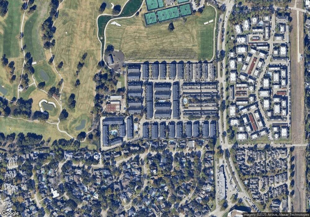
Map
Nearby Homes
- 360 Wilcrest Dr Unit 360
- 580 Wilcrest Dr Unit 580
- 600 Wilcrest Dr Unit 66
- 1306 Riverview Ct
- 11418 Lakeside Place Dr
- 11422 Lakeside Place Dr
- 210 Big Hollow Ln
- 1325 Chardonnay Dr
- 1506 Haven Lock Dr
- 1336 Chardonnay Dr
- 11418 Long Pine Dr
- 11603 Lakeside Place Dr
- 1353 Chardonnay Dr
- 11206 Mattina Dr
- 1365 Chardonnay Dr
- 1532 Prairie Grove Dr
- 203 Cove Creek Ln
- 1339 Beaujolais Ln
- 1556 Prairie Grove Dr
- 1547 Prairie Grove Dr
- 364 Wilcrest Dr
- 366 Wilcrest Dr Unit 366
- 370 Wilcrest Dr Unit 370
- 352 Wilcrest Dr Unit 352
- 344 Wilcrest Dr Unit 344
- 372 Wilcrest Dr Unit 372
- 430 Wilcrest Dr
- 328 Wilcrest Dr Unit 328
- 432 Wilcrest Dr Unit 432
- 354 Wilcrest Dr Unit 354
- 346 Wilcrest Dr Unit 346
- 374 Wilcrest Dr Unit 374
- 428 Wilcrest Dr
- 428 Wilcrest Dr Unit 428
- 336 Wilcrest Dr Unit 336
- 330 Wilcrest Dr Unit 330
- 234 Wilcrest Dr
- 426 Wilcrest Dr Unit 426
- 338 Wilcrest Dr Unit 338
- 436 Wilcrest Dr