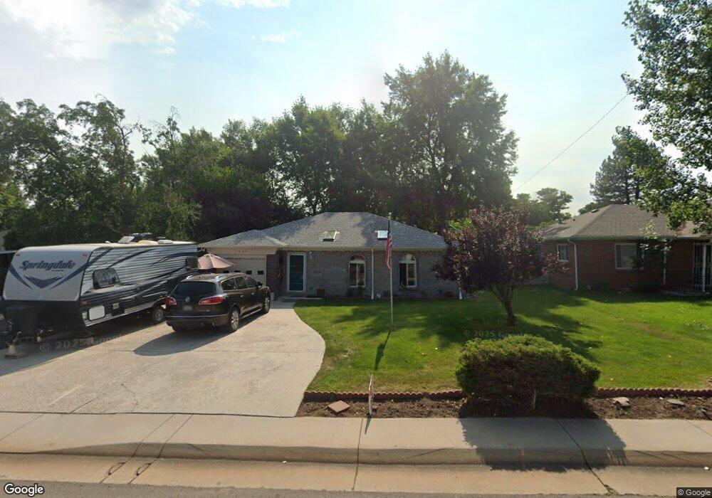
3620 Harlan St Wheat Ridge, CO 80033
East Wheat Ridge NeighborhoodEstimated Value: $495,000 - $594,000
2
Beds
1
Bath
1,026
Sq Ft
$524/Sq Ft
Est. Value
About This Home
This home is located at 3620 Harlan St, Wheat Ridge, CO 80033 and is currently estimated at $537,391, approximately $523 per square foot. 3620 Harlan St is a home located in Jefferson County with nearby schools including Stevens Elementary School, Everitt Middle School, and Wheat Ridge High School.
Ownership History
Date
Name
Owned For
Owner Type
Purchase Details
Closed on
Jul 10, 2006
Sold by
Deutsche Bank National Trust Co
Bought by
Vigil Moreno Roberta
Current Estimated Value
Home Financials for this Owner
Home Financials are based on the most recent Mortgage that was taken out on this home.
Original Mortgage
$150,000
Interest Rate
6.87%
Mortgage Type
Purchase Money Mortgage
Purchase Details
Closed on
Dec 8, 2005
Sold by
Reeh Donna Jean
Bought by
Deutsche Bank National Trust Co and Holders Of New Century Home Equity Loan
Purchase Details
Closed on
Dec 16, 1993
Sold by
Parman Jeffrey L and Parman Karen S
Bought by
Reeh Donna Jean
Home Financials for this Owner
Home Financials are based on the most recent Mortgage that was taken out on this home.
Original Mortgage
$81,013
Interest Rate
7.19%
Mortgage Type
FHA
Create a Home Valuation Report for This Property
The Home Valuation Report is an in-depth analysis detailing your home's value as well as a comparison with similar homes in the area
Home Values in the Area
Average Home Value in this Area
Purchase History
| Date | Buyer | Sale Price | Title Company |
|---|---|---|---|
| Vigil Moreno Roberta | $150,000 | None Available | |
| Deutsche Bank National Trust Co | -- | -- | |
| Reeh Donna Jean | $81,900 | -- |
Source: Public Records
Mortgage History
| Date | Status | Borrower | Loan Amount |
|---|---|---|---|
| Previous Owner | Vigil Moreno Roberta | $150,000 | |
| Previous Owner | Reeh Donna Jean | $81,013 |
Source: Public Records
Tax History Compared to Growth
Tax History
| Year | Tax Paid | Tax Assessment Tax Assessment Total Assessment is a certain percentage of the fair market value that is determined by local assessors to be the total taxable value of land and additions on the property. | Land | Improvement |
|---|---|---|---|---|
| 2024 | $3,001 | $34,324 | $20,494 | $13,830 |
| 2023 | $3,001 | $34,324 | $20,494 | $13,830 |
| 2022 | $2,612 | $29,341 | $16,139 | $13,202 |
| 2021 | $2,649 | $30,186 | $16,604 | $13,582 |
| 2020 | $2,772 | $31,754 | $19,871 | $11,883 |
| 2019 | $2,735 | $31,754 | $19,871 | $11,883 |
| 2018 | $2,182 | $24,492 | $8,158 | $16,334 |
| 2017 | $1,971 | $24,492 | $8,158 | $16,334 |
| 2016 | $1,577 | $18,338 | $5,276 | $13,062 |
| 2015 | $1,283 | $18,338 | $5,276 | $13,062 |
| 2014 | $1,283 | $14,002 | $4,872 | $9,130 |
Source: Public Records
Map
Nearby Homes
- 5904 W 37th Place
- 3515 Gray St
- 3530 Fenton St
- 6145 W 38th Ave
- 5667 W 38th Ave
- 3625 Chase St
- 3530 Chase St
- 4015 Fenton Ct
- 4020 Fenton Ct
- 5926 W 41st Ave Unit 10
- 6455 W 38th Ave
- 3342 Marshall St
- 3450 Benton St
- 3501 Sheridan Blvd
- 3022 Fenton St
- 6735 W 37th Place
- 3500 Otis St
- 3280 Ames St
- 4155 Ingalls St
- 3830 Otis St Unit 1-4