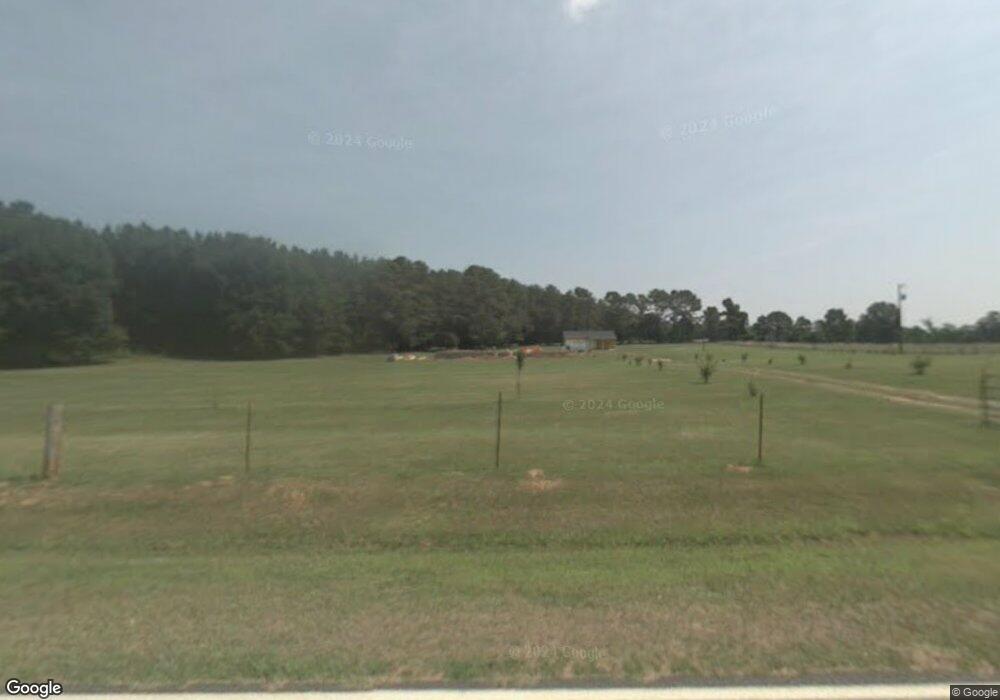
3620 Hensley Rd Union Point, GA 30669
Estimated Value: $310,000 - $410,473
--
Bed
3
Baths
2,108
Sq Ft
$172/Sq Ft
Est. Value
About This Home
This home is located at 3620 Hensley Rd, Union Point, GA 30669 and is currently estimated at $361,824, approximately $171 per square foot. 3620 Hensley Rd is a home located in Greene County with nearby schools including Greene County High School.
Ownership History
Date
Name
Owned For
Owner Type
Purchase Details
Closed on
Sep 23, 2009
Sold by
Andrews Titus
Bought by
Andrews Titus
Current Estimated Value
Home Financials for this Owner
Home Financials are based on the most recent Mortgage that was taken out on this home.
Original Mortgage
$217,068
Outstanding Balance
$141,384
Interest Rate
5.11%
Mortgage Type
VA
Estimated Equity
$220,440
Purchase Details
Closed on
Sep 20, 2005
Sold by
Bradberry Construction Inc
Bought by
Andrews Titus
Create a Home Valuation Report for This Property
The Home Valuation Report is an in-depth analysis detailing your home's value as well as a comparison with similar homes in the area
Home Values in the Area
Average Home Value in this Area
Purchase History
| Date | Buyer | Sale Price | Title Company |
|---|---|---|---|
| Andrews Titus | -- | -- | |
| Andrews Titus | $27,500 | -- |
Source: Public Records
Mortgage History
| Date | Status | Borrower | Loan Amount |
|---|---|---|---|
| Open | Andrews Titus | $217,068 |
Source: Public Records
Tax History Compared to Growth
Tax History
| Year | Tax Paid | Tax Assessment Tax Assessment Total Assessment is a certain percentage of the fair market value that is determined by local assessors to be the total taxable value of land and additions on the property. | Land | Improvement |
|---|---|---|---|---|
| 2024 | $1,720 | $156,040 | $17,800 | $138,240 |
| 2023 | $1,435 | $147,720 | $14,360 | $133,360 |
| 2022 | $1,818 | $129,920 | $11,040 | $118,880 |
| 2021 | $1,934 | $118,560 | $11,040 | $107,520 |
| 2020 | $2,137 | $96,080 | $8,200 | $87,880 |
| 2019 | $2,187 | $96,080 | $8,200 | $87,880 |
| 2018 | $2,168 | $96,080 | $8,200 | $87,880 |
| 2017 | $2,021 | $93,755 | $8,222 | $85,533 |
| 2016 | $2,045 | $94,957 | $8,222 | $86,735 |
| 2015 | $2,065 | $94,956 | $8,222 | $86,735 |
| 2014 | $1,826 | $84,935 | $8,222 | $76,713 |
Source: Public Records
Map
Nearby Homes
- 1251 Adams Rd
- 1211 Peachtree Ave W
- 0 Woodville Rd Unit 7667944
- 0 Woodville Rd Unit 10628010
- 0 Washington Hwy Unit 7276060
- 5971 Penfield Rd
- 215 Hunter St
- 0 S Rhodes St Unit 10618488
- 0 Dogwood Rd
- 324 N Rhodes St
- 0 Old Union Point Rd Unit 1 10557753
- 1110 Woodland Ln
- 1110 Woodland Way
- 202 Veazey St
- 0 Woodland Ct Unit 10543600
- 1241 Old Siloam Rd
- 1860 Washington Hwy
- 1041 Hillcrest Dr
- 1251 Brick House Rd
- 1251 Brickhouse Rd
- 3691 Hensley Rd
- 3781 Hensley Rd
- 3741 Hensley Rd
- 3990 Hensley Rd
- 4011 Hensley Rd
- 2270 Highway 77 N
- 2210 Hwy 77n
- 1615 Georgia 77
- 2210 Highway 77 N
- 2500 Highway 77 N
- 2500 Georgia 77
- 2560 Highway 77 N
- 2560 Highway 77 N
- 2100 Highway 77 N
- 2600 Highway 77 N
- 2600 Hwy 77n
- 2601 Highway 77 N
- 2081 Highway 77 N Unit 1030000450
- 2081 Highway 77 N
- 2081 Highway 77 N