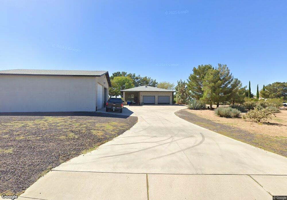
3620 Maya Cir Kingman, AZ 86401
Estimated Value: $414,000 - $446,000
3
Beds
2
Baths
1,572
Sq Ft
$276/Sq Ft
Est. Value
About This Home
This home is located at 3620 Maya Cir, Kingman, AZ 86401 and is currently estimated at $433,156, approximately $275 per square foot. 3620 Maya Cir is a home located in Mohave County with nearby schools including Hualapai Elementary School, White Cliffs Middle School, and Lee Williams High School.
Ownership History
Date
Name
Owned For
Owner Type
Purchase Details
Closed on
Aug 29, 2023
Sold by
Green James W and Green Mary M
Bought by
Green Family Living Trust and Green
Current Estimated Value
Purchase Details
Closed on
Sep 15, 2003
Sold by
Jordan Corene E
Bought by
Simon Elizabeth J
Home Financials for this Owner
Home Financials are based on the most recent Mortgage that was taken out on this home.
Original Mortgage
$77,500
Interest Rate
6.22%
Mortgage Type
Unknown
Purchase Details
Closed on
Sep 3, 2003
Sold by
Jordan James William and Jordan Corene Elizabeth
Bought by
Green James William and Green Mary Margaret
Home Financials for this Owner
Home Financials are based on the most recent Mortgage that was taken out on this home.
Original Mortgage
$77,500
Interest Rate
6.22%
Mortgage Type
Unknown
Create a Home Valuation Report for This Property
The Home Valuation Report is an in-depth analysis detailing your home's value as well as a comparison with similar homes in the area
Home Values in the Area
Average Home Value in this Area
Purchase History
| Date | Buyer | Sale Price | Title Company |
|---|---|---|---|
| Green Family Living Trust | -- | None Listed On Document | |
| Simon Elizabeth J | -- | -- | |
| Green James William | $172,500 | Chicago Title Ins Co |
Source: Public Records
Mortgage History
| Date | Status | Borrower | Loan Amount |
|---|---|---|---|
| Previous Owner | Green James William | $77,500 |
Source: Public Records
Tax History Compared to Growth
Tax History
| Year | Tax Paid | Tax Assessment Tax Assessment Total Assessment is a certain percentage of the fair market value that is determined by local assessors to be the total taxable value of land and additions on the property. | Land | Improvement |
|---|---|---|---|---|
| 2026 | -- | -- | -- | -- |
| 2025 | $1,731 | $36,018 | $0 | $0 |
| 2024 | $1,731 | $38,190 | $0 | $0 |
| 2023 | $1,731 | $29,847 | $0 | $0 |
| 2022 | $1,584 | $26,554 | $0 | $0 |
| 2021 | $1,680 | $24,060 | $0 | $0 |
| 2019 | $1,515 | $19,012 | $0 | $0 |
| 2018 | $1,706 | $20,261 | $0 | $0 |
| 2017 | $1,546 | $22,691 | $0 | $0 |
| 2016 | $1,488 | $21,560 | $0 | $0 |
| 2015 | $1,555 | $20,706 | $0 | $0 |
Source: Public Records
Map
Nearby Homes
- 3516 Packsaddle Rd
- 3741 Cheyenne Ave
- 3811 Dakota Rd
- 2124 Blackfoot Dr
- 00 Cheyenne Ave
- 2144 Old Miners Rd
- 3370 Cerritos Ln
- 3376 Motherlode Rd
- 2199 Seneca St
- 3316 Producers Mine Rd
- 3405 Cerritos Ln
- 3315 Cerritos Ln
- 2393 Iroquois Dr
- 2276 Seminole Dr
- 3280 Whitehead Ave
- 3300 Cherri Ave
- 2335 Hopi Dr
- 3201 Rio Grande Ave
- 3323 Karen Ave
- 2488 Iroquois Dr