3620 Michael Ave Unit Bldg-Unit Warren, MI 48091
Southwest Warren NeighborhoodEstimated Value: $154,000 - $162,000
About This Home
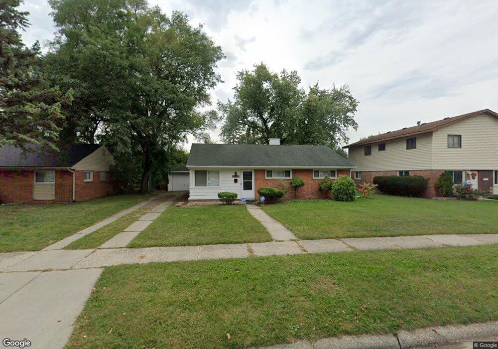
This home is located at 3620 Michael Ave Unit Bldg-Unit, Warren, MI 48091 and is currently estimated at $158,995, approximately $145 per square foot. 3620 Michael Ave Unit Bldg-Unit is a home located in Macomb County with nearby schools including Schofield Elementary School, Mound Park Elementary School, and Westview Elementary School.
Ownership History
We collect this data history from publicly available records. To have your information removed, we recommend requesting removal directly through your county’s website.
Purchase Details
Purchase Details
Purchase Details
Purchase Details
Purchase Details
Home Values in the Area
Average Home Value in this Area
Purchase History
We collect this data history from publicly available records. To have your information removed, we recommend requesting removal directly through your county’s website.
| Date | Buyer | Sale Price | Title Company |
|---|---|---|---|
| $58,500 | None Available | ||
| -- | None Available | ||
| $26,000 | Attorneys Title Agency Llc | ||
| $49,046 | None Available | ||
| $61,893 | -- |
Tax History
We collect this data history from publicly available records. To have your information removed, we recommend requesting removal directly through your county’s website.
| Year | Tax Paid | Tax Assessment Tax Assessment Total Assessment is a certain percentage of the fair market value that is determined by local assessors to be the total taxable value of land and additions on the property. | Land | Improvement |
|---|---|---|---|---|
| 2025 | $2,850 | $75,330 | $0 | $0 |
| 2024 | $28 | $68,730 | $0 | $0 |
| 2023 | $2,639 | $59,330 | $0 | $0 |
| 2022 | $2,497 | $51,370 | $0 | $0 |
| 2021 | $2,561 | $48,420 | $0 | $0 |
| 2020 | $2,462 | $42,890 | $0 | $0 |
| 2019 | $2,351 | $32,650 | $0 | $0 |
| 2018 | $0 | $25,300 | $0 | $0 |
| 2017 | $1,660 | $24,740 | $3,100 | $21,640 |
| 2016 | $1,836 | $24,740 | $0 | $0 |
| 2015 | -- | $22,920 | $0 | $0 |
| 2013 | $1,466 | $20,220 | $0 | $0 |
Map
- 3719 Toepfer Rd
- 3701 Berkshire Ave
- 3357 Berkshire Ave
- 3234 Poplar Ave
- 3167 Berkshire Ave
- 22111 Logue Ave
- 22203 Logue Ave
- 21857 Le Fever Ave
- 3992 Dallas Ave
- 21044 Sunset Ave
- 952 Cour Retta St
- 21307 Le Fever Ave
- 22200 Le Fever Ave
- 21840 Cunningham Ave
- 22000 Cunningham Ave
- 3313 Dallas Ave
- 20575 Dean St
- 2190 Garrick Ave
- 21370 Masch Ave
- 20467 Binder St
- 3709 Toepfer Rd
- 3731 Toepfer Rd
- 3649 Toepfer Rd
- 3743 Toepfer Rd
- 3702 Michael Ave
- 3714 Michael Ave
- 3644 Michael Ave
- 3726 Michael Ave
- 3637 Toepfer Rd
- 3805 Toepfer Rd
- 3632 Michael Ave
- 3738 Michael Ave
- 3718 Toepfer Rd
- 3708 Toepfer Rd Unit Bldg-Unit
- 3708 Toepfer Rd
- 3730 Toepfer Rd
- 3625 Toepfer Rd
- 3815 Toepfer Rd Unit Bldg-Unit
- 3648 Toepfer Rd
- 3744 Toepfer Rd Unit Bldg-Unit
Ask me questions while you tour the home.