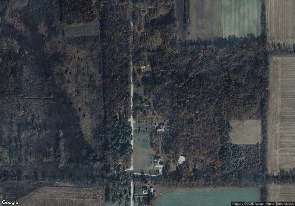
3620 N 900 E Grovertown, IN 46531
Estimated Value: $189,000 - $278,000
3
Beds
1
Bath
1,408
Sq Ft
$166/Sq Ft
Est. Value
About This Home
This home is located at 3620 N 900 E, Grovertown, IN 46531 and is currently estimated at $233,650, approximately $165 per square foot. 3620 N 900 E is a home located in Starke County with nearby schools including Oregon-Davis Elementary School and Oregon-Davis Junior/Senior High School.
Ownership History
Date
Name
Owned For
Owner Type
Purchase Details
Closed on
Aug 31, 2022
Sold by
Williams Patricia L
Bought by
Knowlton Paul Lee
Current Estimated Value
Home Financials for this Owner
Home Financials are based on the most recent Mortgage that was taken out on this home.
Original Mortgage
$128,700
Outstanding Balance
$122,697
Interest Rate
4.99%
Mortgage Type
New Conventional
Estimated Equity
$110,953
Create a Home Valuation Report for This Property
The Home Valuation Report is an in-depth analysis detailing your home's value as well as a comparison with similar homes in the area
Home Values in the Area
Average Home Value in this Area
Purchase History
| Date | Buyer | Sale Price | Title Company |
|---|---|---|---|
| Knowlton Paul Lee | -- | -- |
Source: Public Records
Mortgage History
| Date | Status | Borrower | Loan Amount |
|---|---|---|---|
| Open | Knowlton Paul Lee | $128,700 |
Source: Public Records
Tax History Compared to Growth
Tax History
| Year | Tax Paid | Tax Assessment Tax Assessment Total Assessment is a certain percentage of the fair market value that is determined by local assessors to be the total taxable value of land and additions on the property. | Land | Improvement |
|---|---|---|---|---|
| 2024 | $1,524 | $172,100 | $81,700 | $90,400 |
| 2023 | $1,355 | $150,300 | $67,400 | $82,900 |
| 2022 | $1,090 | $121,400 | $61,100 | $60,300 |
| 2021 | $782 | $102,600 | $52,500 | $50,100 |
| 2020 | $790 | $95,100 | $51,600 | $43,500 |
| 2019 | $765 | $93,600 | $49,900 | $43,700 |
| 2018 | $754 | $91,500 | $49,200 | $42,300 |
| 2017 | $668 | $91,300 | $46,900 | $44,400 |
| 2016 | $633 | $89,400 | $46,000 | $43,400 |
| 2014 | $564 | $89,300 | $45,100 | $44,200 |
| 2013 | $428 | $71,500 | $41,500 | $30,000 |
Source: Public Records
Map
Nearby Homes
- TBD Us 30
- 105801 E U S 30
- 0 S R 23 Unit 813830
- 0 S R 23 Unit 813241
- 0 E 600 N Unit 6295613
- 0 E 600 N Unit 236409
- 0 N State Road 23 Unit 259664
- 0 N 700 E Unit 260347
- 0 E 400 N Unit 260343
- 0 E 400 N Unit 6296372
- 0 E 400 N Unit 6296916
- 0 E 400 N Unit 316054
- 0 E 400 N Unit 334800
- 0 E 400 N Unit 345116
- 0 600n Unit 814029
- 0 600n Unit 814154
- 0 600n Unit 814192
- 0 600n Unit 201416262
- TBD Us Hwy 30