3620 NW Westside Rd Unit Lot 2 McMinnville, OR 97128
Estimated Value: $1,040,000
3
Beds
2
Baths
1,648
Sq Ft
$631/Sq Ft
Est. Value
About This Home
This home is located at 3620 NW Westside Rd Unit Lot 2, McMinnville, OR 97128 and is currently estimated at $1,040,000, approximately $631 per square foot. 3620 NW Westside Rd Unit Lot 2 is a home located in Yamhill County with nearby schools including Memorial Elementary School, Patton Middle School, and McMinnville High School.
Ownership History
Date
Name
Owned For
Owner Type
Purchase Details
Closed on
Oct 7, 2025
Sold by
Mardock Jonathan W
Bought by
Mardock Family Trust and Mardock
Current Estimated Value
Purchase Details
Closed on
Jul 24, 2025
Sold by
William A & Portia F Mardock Living Trus and Mardock Gregory
Bought by
Mardock Gregory D and Mardock Jonathan W
Purchase Details
Closed on
Nov 15, 2022
Sold by
Teal Creek Development Llc
Bought by
Kamph John B and Kamph Zephyr S
Home Financials for this Owner
Home Financials are based on the most recent Mortgage that was taken out on this home.
Original Mortgage
$902,850
Interest Rate
6.31%
Mortgage Type
New Conventional
Purchase Details
Closed on
Apr 5, 2022
Sold by
William A & Portia F Mardock Living Trus
Bought by
Teal Creek Development Llc
Home Financials for this Owner
Home Financials are based on the most recent Mortgage that was taken out on this home.
Original Mortgage
$422,680
Interest Rate
5.7%
Mortgage Type
New Conventional
Purchase Details
Closed on
Nov 1, 2006
Sold by
Mardock William A and Mardock Portia F
Bought by
William A & Portia F Mardock Living Trus
Create a Home Valuation Report for This Property
The Home Valuation Report is an in-depth analysis detailing your home's value as well as a comparison with similar homes in the area
Home Values in the Area
Average Home Value in this Area
Purchase History
| Date | Buyer | Sale Price | Title Company |
|---|---|---|---|
| Mardock Family Trust | -- | None Listed On Document | |
| Mardock Gregory D | -- | None Listed On Document | |
| Kamph John B | $429,000 | First American Title | |
| Teal Creek Development Llc | $325,000 | -- | |
| Teal Creek Development Llc | $350,000 | First American Title | |
| William A & Portia F Mardock Living Trus | -- | None Available |
Source: Public Records
Mortgage History
| Date | Status | Borrower | Loan Amount |
|---|---|---|---|
| Previous Owner | Kamph John B | $902,850 | |
| Previous Owner | Teal Creek Development Llc | $422,680 | |
| Previous Owner | Teal Creek Development Llc | $314,433 |
Source: Public Records
Tax History Compared to Growth
Tax History
| Year | Tax Paid | Tax Assessment Tax Assessment Total Assessment is a certain percentage of the fair market value that is determined by local assessors to be the total taxable value of land and additions on the property. | Land | Improvement |
|---|---|---|---|---|
| 2024 | $2,027 | $161,900 | -- | -- |
| 2023 | $1,965 | $157,318 | $0 | $0 |
| 2022 | $1,821 | $157,779 | $0 | $0 |
| 2021 | $1,778 | $153,311 | $0 | $0 |
| 2020 | $1,730 | $148,971 | $0 | $0 |
| 2019 | $1,684 | $144,757 | $0 | $0 |
| 2018 | $1,592 | $136,896 | $0 | $0 |
| 2017 | $1,617 | $138,830 | $0 | $0 |
| 2016 | $1,590 | $134,894 | $0 | $0 |
| 2015 | $1,526 | $129,459 | $0 | $0 |
| 2014 | $1,351 | $114,167 | $0 | $0 |
Source: Public Records
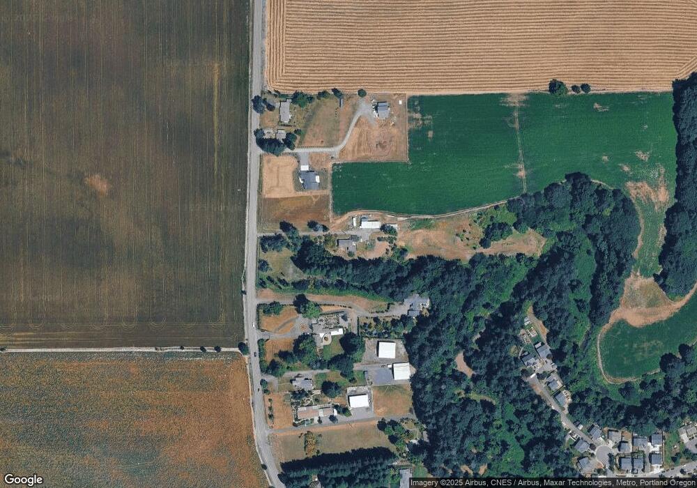
Map
Nearby Homes
- 3839 NE Hembree St
- 3270 NW Westside Rd
- 3583 NE Harvest Dr
- 956 NE Samson St
- 824 NE Ashby Ct
- 1318 NE Grandhaven St
- 3017 NE Buel Dr
- 3036 NE Buel Dr
- 149 NW 25th St
- 914 NE 26th St
- 1897 NE Lucy Belle St
- 2420 NE Hembree St Unit 48
- 1688 NE Coburn Dr
- 1519 NW Pinehurst Dr Unit 74
- 1575 NW Pinehurst Dr Unit 70
- 1587 NW Pinehurst Dr Unit 69
- 1599 NW Pinehurst Dr Unit 68
- 2221 NW Elm St
- 2286 NW Michelbook Ln
- 1463 NW Cato Ct Unit 42
- 3620 NW Westside Rd
- 3620 NW Westside Rd Unit Lot 3
- 3554 NW Westside Rd
- 3670 NW Westside Rd
- 3550 NW Westside Rd
- 3694 NW Westside Rd
- 3510 NW Westside Rd
- 3710 NW Westside Rd
- 2675 NW Hill Rd
- 3460 NW Westside Rd
- 3458 NW Westside Rd
- 3719 NE Spring Meadow Ct
- 3722 NE Spring Meadow Ct
- 3400 NW Westside Rd
- 3430 NW Westside Rd
- 3718 NE Spring Meadow Ct
- 3350 NW Westside Rd
- 3850 NW Westside Rd
- 3370 NW Westside Rd
- 3709 NE Spring Meadow Ct