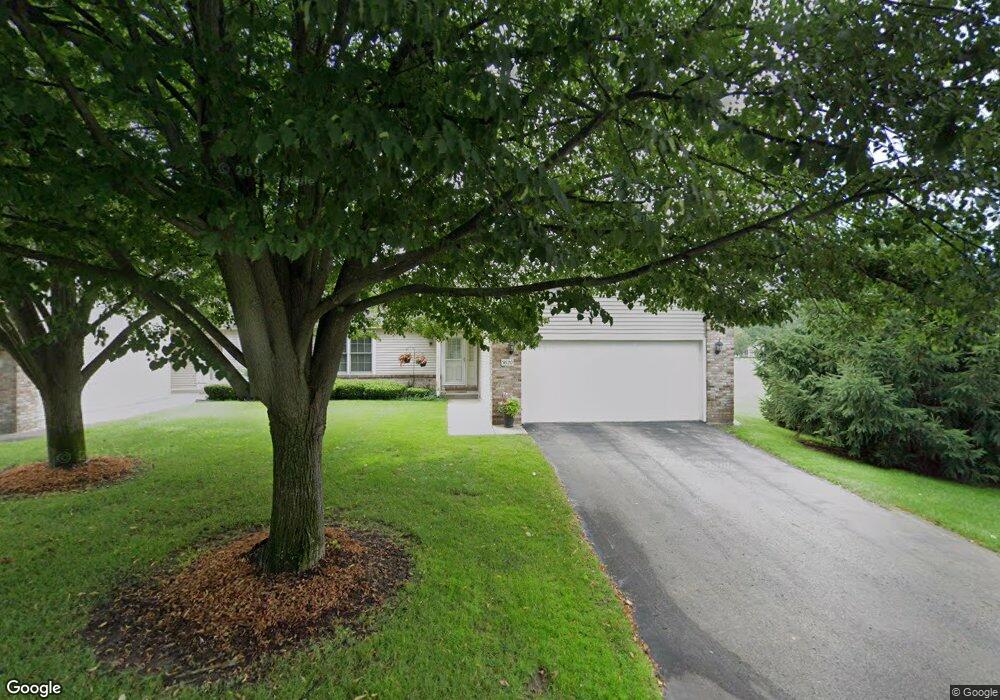
3620 Woodbridge Ln Portage, MI 49024
Estimated Value: $253,000 - $313,069
2
Beds
2
Baths
1,160
Sq Ft
$249/Sq Ft
Est. Value
About This Home
This home is located at 3620 Woodbridge Ln, Portage, MI 49024 and is currently estimated at $288,267, approximately $248 per square foot. 3620 Woodbridge Ln is a home located in Kalamazoo County with nearby schools including Moorsbridge Elementary School, Portage West Middle School, and Portage Central High School.
Ownership History
Date
Name
Owned For
Owner Type
Purchase Details
Closed on
Nov 7, 2019
Sold by
Malaney Barbara S and Malaney Scott C
Bought by
Sherwood Jay D and Sherwood Judy A
Current Estimated Value
Home Financials for this Owner
Home Financials are based on the most recent Mortgage that was taken out on this home.
Original Mortgage
$189,905
Outstanding Balance
$167,067
Interest Rate
3.6%
Mortgage Type
New Conventional
Estimated Equity
$121,200
Purchase Details
Closed on
May 9, 2003
Sold by
Malaney Robert C and Malaney Barbara S
Bought by
Malaney Robert C and Malaney Barbara S
Home Financials for this Owner
Home Financials are based on the most recent Mortgage that was taken out on this home.
Original Mortgage
$200,000
Interest Rate
3.5%
Mortgage Type
Future Advance Clause Open End Mortgage
Create a Home Valuation Report for This Property
The Home Valuation Report is an in-depth analysis detailing your home's value as well as a comparison with similar homes in the area
Home Values in the Area
Average Home Value in this Area
Purchase History
| Date | Buyer | Sale Price | Title Company |
|---|---|---|---|
| Sherwood Jay D | $199,900 | Chicago Title Of Mi Inc | |
| Malaney Robert C | -- | None Available |
Source: Public Records
Mortgage History
| Date | Status | Borrower | Loan Amount |
|---|---|---|---|
| Open | Sherwood Jay D | $189,905 | |
| Previous Owner | Malaney Robert C | $200,000 |
Source: Public Records
Tax History Compared to Growth
Tax History
| Year | Tax Paid | Tax Assessment Tax Assessment Total Assessment is a certain percentage of the fair market value that is determined by local assessors to be the total taxable value of land and additions on the property. | Land | Improvement |
|---|---|---|---|---|
| 2025 | $5,084 | $154,100 | $0 | $0 |
| 2024 | $4,476 | $147,500 | $0 | $0 |
| 2023 | $4,267 | $116,300 | $0 | $0 |
| 2022 | $4,610 | $103,700 | $0 | $0 |
| 2021 | $4,456 | $102,100 | $0 | $0 |
| 2020 | $4,350 | $96,800 | $0 | $0 |
| 2019 | $290 | $88,900 | $0 | $0 |
| 2018 | $0 | $83,300 | $0 | $0 |
| 2017 | $0 | $82,700 | $0 | $0 |
| 2016 | -- | $79,700 | $0 | $0 |
| 2015 | -- | $70,900 | $0 | $0 |
| 2014 | -- | $65,400 | $0 | $0 |
Source: Public Records
Map
Nearby Homes
- 3653 Tartan Cir
- 7922 Kilmory Cir
- 7961 Kilmory Cir
- 8030 Wimbledon Dr Unit 35
- 7464 Saint George Cir
- 7481 Turnberry Ct
- 7639 Dunross Dr
- 7236 Hampstead Ln Unit 18
- 4788 Norfolk Cir
- 3320 Scots Pine Way Unit 2
- 2600 W Centre Ave Unit +/- 1 Acre
- 2351 W Centre Ave
- 3522 Bellflower Dr
- 2076 Lion Gate Dr
- 3737 Bellflower Dr
- 1902 W Centre Ave
- 3638 Bellflower Dr
- 4280 Romence Rd
- 6876 Towhee St
- 7951 S 12th St
- 3620 Woodbridge Ln Unit 61
- 3614 Woodbridge Ln
- 3608 Woodbridge Ln
- 3602 Woodbridge Ln Unit 64
- 3674 Woodbridge Ln Unit 32
- 3621 Woodbridge Ln Unit 58
- 3615 Woodbridge Ln
- 3609 Woodbridge Ln
- 3680 Woodbridge Ln
- 3588 Woodbridge Ln
- 26 Woodbridge Ln
- 0 Woodbridge Ln
- 175 Woodbridge Ln
- 17 Woodbridge Ln
- 7699 Vernard Cir Unit 35
- 3582 Woodbridge Ln
- 3716 Woodbridge Ln Unit 30
- 7680 Moors Pointe Way
- 3576 Woodbridge Ln
- 7695 Vernard Cir Unit 37