3621 Sage Rd Homedale, ID 83628
Estimated Value: $683,000 - $796,000
4
Beds
3
Baths
2,770
Sq Ft
$262/Sq Ft
Est. Value
About This Home
This home is located at 3621 Sage Rd, Homedale, ID 83628 and is currently estimated at $724,512, approximately $261 per square foot. 3621 Sage Rd is a home located in Owyhee County with nearby schools including Homedale Elementary School, Homedale Middle School, and Homedale High School.
Ownership History
Date
Name
Owned For
Owner Type
Purchase Details
Closed on
Sep 9, 2020
Sold by
Mcrae Rey L and Mcrae Bertle Lou
Bought by
Yakana Freddy and Yakana Kali
Current Estimated Value
Home Financials for this Owner
Home Financials are based on the most recent Mortgage that was taken out on this home.
Original Mortgage
$252,525
Outstanding Balance
$224,099
Interest Rate
2.9%
Mortgage Type
New Conventional
Estimated Equity
$500,413
Create a Home Valuation Report for This Property
The Home Valuation Report is an in-depth analysis detailing your home's value as well as a comparison with similar homes in the area
Home Values in the Area
Average Home Value in this Area
Purchase History
| Date | Buyer | Sale Price | Title Company |
|---|---|---|---|
| Yakana Freddy | -- | Titleone Boise |
Source: Public Records
Mortgage History
| Date | Status | Borrower | Loan Amount |
|---|---|---|---|
| Open | Yakana Freddy | $252,525 |
Source: Public Records
Tax History Compared to Growth
Tax History
| Year | Tax Paid | Tax Assessment Tax Assessment Total Assessment is a certain percentage of the fair market value that is determined by local assessors to be the total taxable value of land and additions on the property. | Land | Improvement |
|---|---|---|---|---|
| 2024 | -- | $600,741 | $82,951 | $517,790 |
| 2023 | $2,761 | $618,201 | $82,951 | $535,250 |
| 2022 | $3,389 | $629,841 | $82,951 | $546,890 |
| 2021 | $2,370 | $423,158 | $66,528 | $356,630 |
| 2020 | $1,152 | $335,058 | $39,374 | $295,684 |
| 2019 | $566 | $301,118 | $39,374 | $261,744 |
| 2018 | $1,882 | $290,428 | $32,812 | $257,616 |
| 2017 | $864 | $290,428 | $32,812 | $257,616 |
| 2016 | $1,752 | $272,120 | $30,752 | $241,368 |
| 2014 | $1,369 | $196,522 | $27,817 | $168,705 |
| 2011 | -- | $212,004 | $18,492 | $193,512 |
Source: Public Records
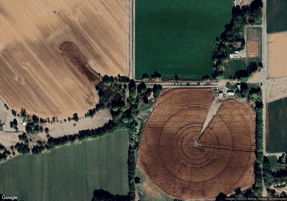
Map
Nearby Homes
- 0 Tbd Unit 25095901
- 0 Tbd Unit 23668088
- 0 Tbd Unit 11500486
- TBD Succor Creek Rd
- 4243 Homestead Rd
- 2462 Succor Creek Rd
- 2404 W Market Rd
- TBD Homestead Rd
- TBD
- TBD Pioneer Rd
- 318 Packer Ln
- 2051 Thompson Rd
- TBD River Rd
- 1212 River Rd
- 531 W Idaho Ave
- 1006 Hill Rd
- TBD L1 W Idaho Ave
- TBD W Idaho Ave
- 428 W Montana Ave
- 501 W California Ave
- 3625 Sage Rd
- 3755 Sage Rd
- 3595 Sage Rd
- 1001 Southside Rd
- 1545 Southside Rd
- 1262 Southside Rd
- 1349 Southside Rd
- 1332 Southside Rd
- 1416 Succor Creek Rd
- 1540 Succor Creek Rd
- 1244 Southside Rd
- 1136 Southside Rd
- 1295 Succor Creek Rd
- 1671 Succor Creek Rd
- 1063 Johnson Ln
- 1653 Succor Creek Rd
- TBD S Side Rd
- 1833 Southside Rd
- 3200 Gulley Rd
- 1738 Succor Creek Rd