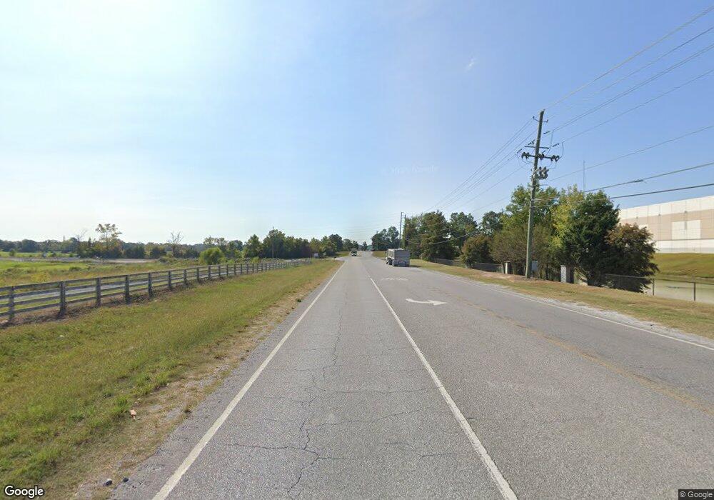
3621 Us Highway 31 S Decatur, AL 35603
Estimated Value: $3,014,058
--
Bed
4
Baths
20,000
Sq Ft
$151/Sq Ft
Est. Value
About This Home
This home is located at 3621 Us Highway 31 S, Decatur, AL 35603 and is currently estimated at $3,014,058, approximately $150 per square foot. 3621 Us Highway 31 S is a home located in Morgan County with nearby schools including Frances Nungester Elementary School, Decatur Middle School, and Horizon High School.
Ownership History
Date
Name
Owned For
Owner Type
Purchase Details
Closed on
Jan 29, 2016
Sold by
Stephenson Roger and Stephenson Vicki
Bought by
Ramjett Properties Llc
Current Estimated Value
Purchase Details
Closed on
Apr 1, 2011
Sold by
Smith Randle Lee and Smith Beverly J
Bought by
Stephenson Roger and Stephenson Vicki
Home Financials for this Owner
Home Financials are based on the most recent Mortgage that was taken out on this home.
Original Mortgage
$300,000
Interest Rate
4.95%
Mortgage Type
Seller Take Back
Create a Home Valuation Report for This Property
The Home Valuation Report is an in-depth analysis detailing your home's value as well as a comparison with similar homes in the area
Home Values in the Area
Average Home Value in this Area
Purchase History
| Date | Buyer | Sale Price | Title Company |
|---|---|---|---|
| Ramjett Properties Llc | $320,000 | None Available | |
| Stephenson Roger | -- | None Available |
Source: Public Records
Mortgage History
| Date | Status | Borrower | Loan Amount |
|---|---|---|---|
| Previous Owner | Stephenson Roger | $300,000 |
Source: Public Records
Tax History Compared to Growth
Tax History
| Year | Tax Paid | Tax Assessment Tax Assessment Total Assessment is a certain percentage of the fair market value that is determined by local assessors to be the total taxable value of land and additions on the property. | Land | Improvement |
|---|---|---|---|---|
| 2024 | $6,070 | $134,300 | $27,000 | $107,300 |
| 2023 | $6,084 | $134,620 | $27,000 | $107,620 |
| 2022 | $6,113 | $134,940 | $27,000 | $107,940 |
| 2021 | $5,342 | $117,380 | $27,000 | $90,380 |
| 2020 | $5,342 | $117,660 | $27,000 | $90,660 |
| 2019 | $5,342 | $117,920 | $0 | $0 |
| 2015 | $2,824 | $63,960 | $0 | $0 |
| 2014 | $2,824 | $62,340 | $0 | $0 |
| 2013 | -- | $60,040 | $0 | $0 |
Source: Public Records
Map
Nearby Homes
- 3117 18 Acres Ridgeway Dr SW
- 3903 Steve Perkins Dr SW
- 3905 Steve Perkins Dr SW
- 3907 Steve Perkins Dr SW
- 3913 Steve Perkins Dr SW
- RC Walsh Plan at Valley Park
- RC Holland Plan at Valley Park
- RC Wright Plan at Valley Park
- RC Greenfield Plan at Valley Park
- RC Palisade Plan at Valley Park
- RC Hudson Plan at Valley Park
- RC Carlisle Plan at Valley Park
- RC Ross Plan at Valley Park
- RC Kendall Plan at Valley Park
- RC Camden Plan at Valley Park
- Lot 1 & 2 Central Ave SW
- 2114 Newcastle Ln SW
- 2112 Newcastle Ln SW
- 2110 Newcastle Ln SW
- 2109 Newcastle Ln SW
- 3621 U S 31
- 0 U S Highway 31
- 3607 Us Highway 31 S
- Lot 4 U S Highway 31
- 17 Acres U S Highway 31
- 8.5 Acres U S Highway 31
- 3735 Us Highway 31 S
- Lot 54.01 W Main Ave SW
- 3526 Highway 31 S
- Lot 1 Newcastle Ln
- 106 Lenwood Rd SW
- 0 SW Central Pkwy SW Unit 1094425
- 0 SW Central Pkwy SW Unit : 1.6 acres 1334865
- 2307 SW Avenue U
- 0 NE Natural Bridge Rd NE Unit 1821404
- 113 Lenwood Rd SE
- 3820 Us Highway 31 S
- 1 SW Mill Rd
- 3704 Central Pkwy SW
- 3902 Ryan Dr SW
