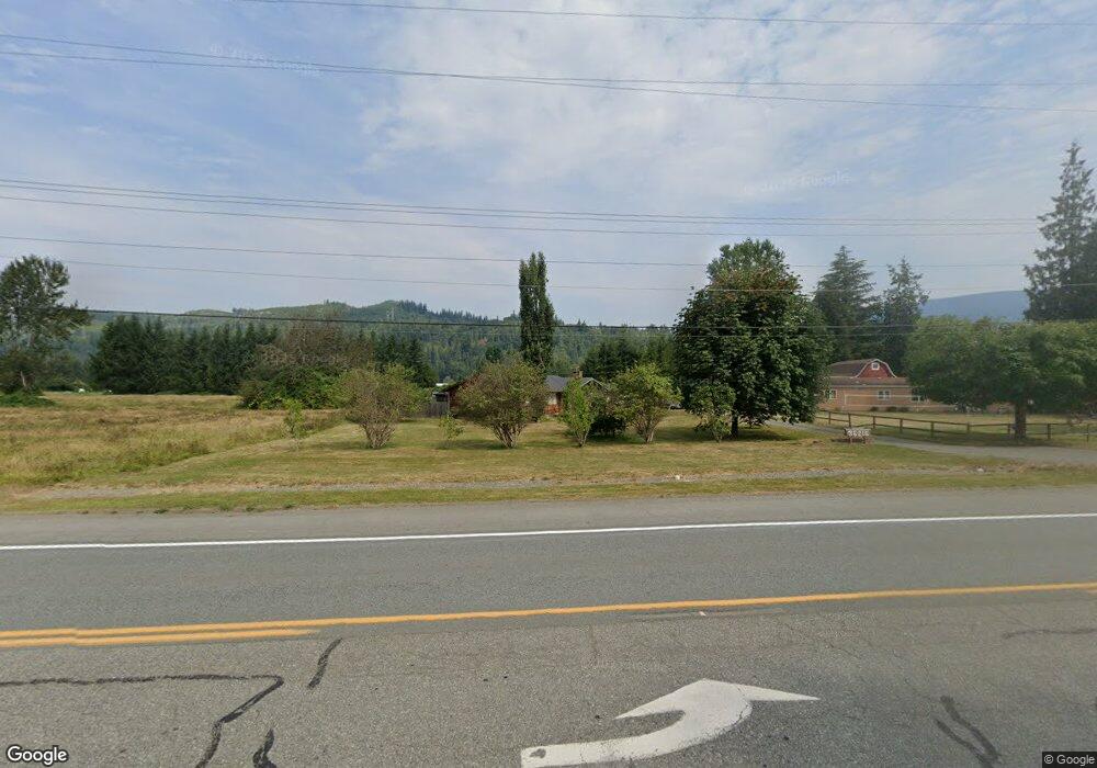
36215 State Route 2 Sultan, WA 98294
Estimated Value: $510,000 - $555,000
3
Beds
3
Baths
1,376
Sq Ft
$388/Sq Ft
Est. Value
About This Home
This home is located at 36215 State Route 2, Sultan, WA 98294 and is currently estimated at $533,421, approximately $387 per square foot. 36215 State Route 2 is a home located in Snohomish County with nearby schools including Sultan Senior High School.
Ownership History
Date
Name
Owned For
Owner Type
Purchase Details
Closed on
Nov 9, 2016
Sold by
Wyndham Nicholas
Bought by
Martin Kim L and Martin Amber D
Current Estimated Value
Home Financials for this Owner
Home Financials are based on the most recent Mortgage that was taken out on this home.
Original Mortgage
$269,419
Outstanding Balance
$216,976
Interest Rate
3.52%
Mortgage Type
New Conventional
Estimated Equity
$316,445
Create a Home Valuation Report for This Property
The Home Valuation Report is an in-depth analysis detailing your home's value as well as a comparison with similar homes in the area
Home Values in the Area
Average Home Value in this Area
Purchase History
| Date | Buyer | Sale Price | Title Company |
|---|---|---|---|
| Martin Kim L | -- | Fidelity National Title |
Source: Public Records
Mortgage History
| Date | Status | Borrower | Loan Amount |
|---|---|---|---|
| Open | Martin Kim L | $269,419 |
Source: Public Records
Tax History
| Year | Tax Paid | Tax Assessment Tax Assessment Total Assessment is a certain percentage of the fair market value that is determined by local assessors to be the total taxable value of land and additions on the property. | Land | Improvement |
|---|---|---|---|---|
| 2025 | $3,758 | $436,600 | $164,000 | $272,600 |
| 2024 | $3,758 | $414,500 | $151,500 | $263,000 |
| 2023 | $3,756 | $472,500 | $204,000 | $268,500 |
| 2022 | $3,293 | $353,100 | $138,600 | $214,500 |
| 2020 | $3,096 | $303,700 | $108,000 | $195,700 |
| 2019 | $2,823 | $292,400 | $108,000 | $184,400 |
| 2018 | $2,857 | $239,000 | $82,500 | $156,500 |
| 2017 | $2,760 | $228,200 | $68,400 | $159,800 |
| 2016 | $2,592 | $206,200 | $52,200 | $154,000 |
| 2015 | $2,511 | $193,100 | $55,800 | $137,300 |
| 2013 | $1,986 | $145,100 | $42,300 | $102,800 |
Source: Public Records
Map
Nearby Homes
- 36010 State Route 2 Unit 2
- 37311 142nd Place SE
- 15713 365th Ave SE
- 14416 339th Ave SE
- 115 Grand Ave W
- 32813 132nd St SE
- 314 1st St
- 13331 325th Ave SE
- 13419 324th Ave SE
- 13415 324th Ave SE
- 13411 324th Ave SE
- 13409 324th Ave SE
- 13405 324th Ave SE
- 13422 323rd Ave SE
- 13401 324th Ave SE
- 32505 132nd St SE
- 40018 May Creek Rd
- 13434 323rd Ave SE
- 13430 323rd Ave SE
- 13426 323rd Ave SE
- 36215 State Route 2 Unit 2
- 14422 363rd Ave SE
- 36010 State Rt 2 Unit 37
- 36231 Us 2
- 14410 363rd Ave SE
- 1126 15th Ave Unit 111
- 1042 15th Ave Unit 119
- 1046 15th Ave Unit 118
- 1059 15th Ave Unit 1148
- 1103 15th Ave Unit 1149
- 1108 15th Ave Unit 114
- 1120 15th Ave Unit 112
- 1148 15th Ave Unit 106
- 36214 State Route 2
- 36311 U S 2
- 36311 State Route 2
- 36216 State Route 2
- 36228 State Route 2
- 14318 363rd Ave SE
- 36317 Sr 2
Your Personal Tour Guide
Ask me questions while you tour the home.