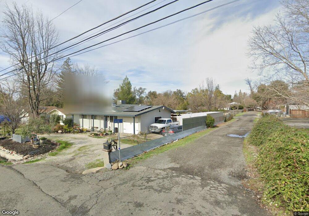
3622 Boone Ln Loomis, CA 95650
Estimated Value: $509,000 - $701,000
4
Beds
2
Baths
1,264
Sq Ft
$461/Sq Ft
Est. Value
About This Home
This home is located at 3622 Boone Ln, Loomis, CA 95650 and is currently estimated at $582,764, approximately $461 per square foot. 3622 Boone Ln is a home located in Placer County with nearby schools including Del Oro High School, Loomis Basin Charter School, and Holy Cross Lutheran Academy.
Ownership History
Date
Name
Owned For
Owner Type
Purchase Details
Closed on
Dec 4, 2015
Sold by
Long Ann Marie Caputo and Long Joseph Thomas
Bought by
Long Ann Marie Caputo and Long Joseph Thomas
Current Estimated Value
Home Financials for this Owner
Home Financials are based on the most recent Mortgage that was taken out on this home.
Original Mortgage
$210,000
Interest Rate
3.71%
Mortgage Type
New Conventional
Create a Home Valuation Report for This Property
The Home Valuation Report is an in-depth analysis detailing your home's value as well as a comparison with similar homes in the area
Home Values in the Area
Average Home Value in this Area
Purchase History
| Date | Buyer | Sale Price | Title Company |
|---|---|---|---|
| Long Ann Marie Caputo | -- | Fidelity National Title Co |
Source: Public Records
Mortgage History
| Date | Status | Borrower | Loan Amount |
|---|---|---|---|
| Closed | Long Ann Marie Caputo | $210,000 |
Source: Public Records
Tax History
| Year | Tax Paid | Tax Assessment Tax Assessment Total Assessment is a certain percentage of the fair market value that is determined by local assessors to be the total taxable value of land and additions on the property. | Land | Improvement |
|---|---|---|---|---|
| 2025 | $2,569 | $156,463 | $88,398 | $68,065 |
| 2023 | $2,569 | $150,389 | $84,966 | $65,423 |
| 2022 | $2,507 | $147,441 | $83,300 | $64,141 |
| 2021 | $2,434 | $144,551 | $81,667 | $62,884 |
| 2020 | $2,407 | $143,070 | $80,830 | $62,240 |
| 2019 | $2,338 | $140,266 | $79,246 | $61,020 |
| 2018 | $2,190 | $137,517 | $77,693 | $59,824 |
| 2017 | $2,121 | $134,821 | $76,170 | $58,651 |
| 2016 | $2,049 | $132,178 | $74,677 | $57,501 |
| 2015 | $2,009 | $130,194 | $73,556 | $56,638 |
| 2014 | $2,014 | $127,645 | $72,116 | $55,529 |
Source: Public Records
Map
Nearby Homes
- 5782 King Rd
- 0 Webb St
- 3437 Taylor Rd
- 3473 Corwin Ct
- 5750 Connie Ct
- 6300 Arcadia Ave
- 5705 Tudor Way
- 3838 Circle Dr
- 6100 Helens Ct
- 5950 Becky Way
- 6154 S Walnut St Unit 40
- 3301 Stone Field Way
- 3955 Stonegate Ct
- 3586 Sun Knoll Dr
- 6139 Smoke Wood Ct
- 3390 Taylor Rd Unit 12
- 3899 Martin Ln
- 3920 Bankhead Rd
- 5854 Brace Rd
- 5813 Mareta Ln
- 5701 Saunders Ave
- 5715 Saunders Ave
- 3612 Boone Ln
- 5675 Saunders Ave
- 5735 Saunders Ave
- 3619 Colony Ln
- 3615 Boone Ln
- 3604 Boone Ln
- 3611 Boone Ln
- 3649 Colony Ln
- 3611 Colony Ln
- 3600 Boone Ln
- 5771 Saunders Ave
- 3594 Boone Ln
- 3592 Colony Ln
- 3605 Colony Ln
- 5730 Saunders Ave
- 3624 Colony Ln
- 5795 Saunders Ave
- 5629 Saunders Ave
Your Personal Tour Guide
Ask me questions while you tour the home.