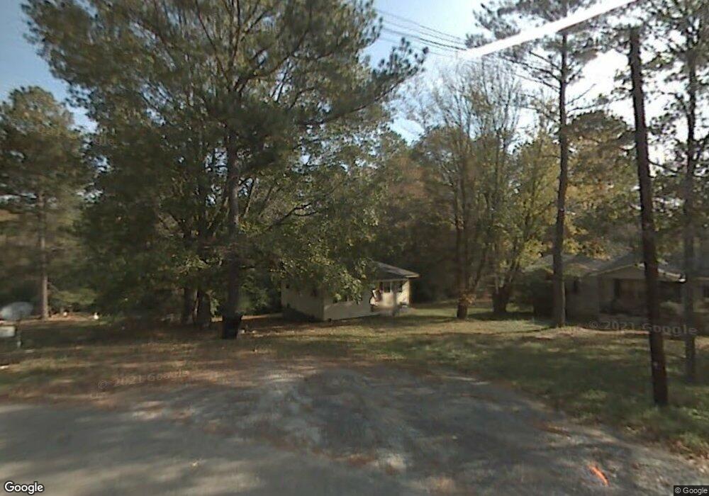
3622 Timothy Dr SE Dalton, GA 30721
Estimated Value: $111,000 - $198,000
--
Bed
1
Bath
755
Sq Ft
$190/Sq Ft
Est. Value
About This Home
This home is located at 3622 Timothy Dr SE, Dalton, GA 30721 and is currently estimated at $143,125, approximately $189 per square foot. 3622 Timothy Dr SE is a home located in Whitfield County with nearby schools including Cedar Ridge Elementary School, Eastbrook Middle School, and Southeast Whitfield County High School.
Ownership History
Date
Name
Owned For
Owner Type
Purchase Details
Closed on
Aug 30, 2021
Sold by
Washington Kelley
Bought by
Washington Markisha R
Current Estimated Value
Home Financials for this Owner
Home Financials are based on the most recent Mortgage that was taken out on this home.
Original Mortgage
$88,350
Outstanding Balance
$80,392
Interest Rate
2.8%
Mortgage Type
New Conventional
Estimated Equity
$62,733
Purchase Details
Closed on
Nov 19, 2020
Sold by
Barclay Jerry Wayne
Bought by
Washington Kelley
Purchase Details
Closed on
Aug 1, 1997
Bought by
Madison Emma and Barclay Jerry
Create a Home Valuation Report for This Property
The Home Valuation Report is an in-depth analysis detailing your home's value as well as a comparison with similar homes in the area
Home Values in the Area
Average Home Value in this Area
Purchase History
| Date | Buyer | Sale Price | Title Company |
|---|---|---|---|
| Washington Markisha R | $93,000 | -- | |
| Washington Kelley | $20,000 | -- | |
| Madison Emma | -- | -- |
Source: Public Records
Mortgage History
| Date | Status | Borrower | Loan Amount |
|---|---|---|---|
| Open | Washington Markisha R | $88,350 |
Source: Public Records
Tax History Compared to Growth
Tax History
| Year | Tax Paid | Tax Assessment Tax Assessment Total Assessment is a certain percentage of the fair market value that is determined by local assessors to be the total taxable value of land and additions on the property. | Land | Improvement |
|---|---|---|---|---|
| 2024 | $778 | $42,047 | $3,150 | $38,897 |
| 2023 | $778 | $26,076 | $3,150 | $22,926 |
| 2022 | $488 | $16,562 | $3,150 | $13,412 |
| 2021 | $236 | $16,562 | $3,150 | $13,412 |
| 2020 | $505 | $16,562 | $3,150 | $13,412 |
| 2019 | $514 | $16,562 | $3,150 | $13,412 |
| 2018 | $0 | $16,562 | $3,150 | $13,412 |
| 2017 | $0 | $16,562 | $3,150 | $13,412 |
| 2016 | $0 | $15,348 | $3,150 | $12,198 |
| 2014 | -- | $15,348 | $3,150 | $12,198 |
| 2013 | -- | $15,348 | $3,150 | $12,198 |
Source: Public Records
Map
Nearby Homes
- 01 Headrick Cir SE
- 00 Headrick Cir SE
- 3657 Airport Rd
- 760 Keith Rd SE
- 0 Tibbs Bridge Rd SE
- 4322 Banks Dr SE
- 185 Cedar Ridge Rd
- 00 Tibbs Bridge Rd
- 1142 Ben Hill Rd SE
- 4386 Tibbs Bridge Rd SE
- TBD Old Grade Rd
- 0 Old Grade Rd
- 296 Wagner Dr
- 279 Satterfield Rd SE
- 00 Hill Rd
- 118 Hill Rd
- 404 Lakeview Dr SE
- 1271 Ridge Rd SE
- 307 Gay St
- 136 Wiltshire Dr
- 3620 Timothy Dr SE
- 3628 Timothy Dr SE
- 3624 Timothy Dr SE
- 3606 SE Timothy Dr SE
- 3347 Headrick Cir SE
- 3355 Headrick Cir SE
- 3339 Headrick Cir SE
- 3259 Headrick Cir SE
- 3723 N Woodland Dr SE
- 3311 Headrick Cir SE
- 3720 N Woodland Dr SE
- 3244 Headrick Cir SE
- 3343 Headrick Cir SE
- 3343 Headrick Cir SE
- 3722 N Woodland Dr SE
- 3360 Headrick Cir SE
- 3384 Headrick Cir SE
- 3302 Headrick Cir SE
- 3302 Headrick Cir SE Unit A
- 3230 Headrick Cir SE