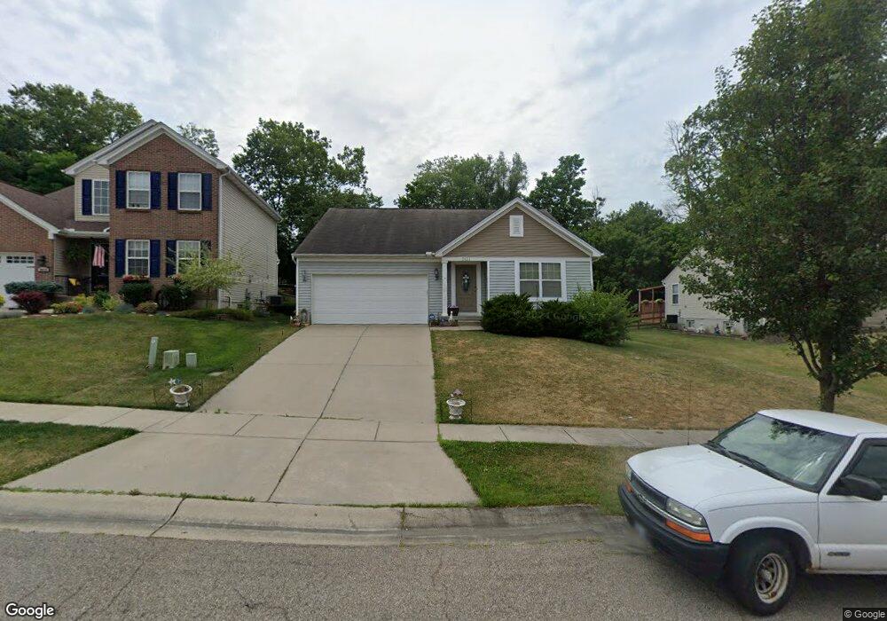
3623 Hader Ave Cincinnati, OH 45211
South Monfort Heights NeighborhoodEstimated Value: $248,645 - $300,000
2
Beds
2
Baths
1,330
Sq Ft
$203/Sq Ft
Est. Value
About This Home
This home is located at 3623 Hader Ave, Cincinnati, OH 45211 and is currently estimated at $270,411, approximately $203 per square foot. 3623 Hader Ave is a home with nearby schools including Cheviot Elementary School, Western Hills High School, and Gilbert A. Dater High School.
Ownership History
Date
Name
Owned For
Owner Type
Purchase Details
Closed on
Jul 20, 2010
Sold by
M/I Homes Of Cincinnati Llc
Bought by
Summe William J and Summe Sandra L
Current Estimated Value
Home Financials for this Owner
Home Financials are based on the most recent Mortgage that was taken out on this home.
Original Mortgage
$50,000
Interest Rate
4.6%
Mortgage Type
Unknown
Create a Home Valuation Report for This Property
The Home Valuation Report is an in-depth analysis detailing your home's value as well as a comparison with similar homes in the area
Home Values in the Area
Average Home Value in this Area
Purchase History
| Date | Buyer | Sale Price | Title Company |
|---|---|---|---|
| Summe William J | $137,345 | Attorney |
Source: Public Records
Mortgage History
| Date | Status | Borrower | Loan Amount |
|---|---|---|---|
| Previous Owner | Summe William J | $50,000 |
Source: Public Records
Tax History Compared to Growth
Tax History
| Year | Tax Paid | Tax Assessment Tax Assessment Total Assessment is a certain percentage of the fair market value that is determined by local assessors to be the total taxable value of land and additions on the property. | Land | Improvement |
|---|---|---|---|---|
| 2024 | $4,312 | $73,290 | $11,550 | $61,740 |
| 2023 | $4,398 | $73,290 | $11,550 | $61,740 |
| 2022 | $3,604 | $50,184 | $10,203 | $39,981 |
| 2021 | $3,272 | $50,184 | $10,203 | $39,981 |
| 2020 | $3,318 | $50,184 | $10,203 | $39,981 |
| 2019 | $3,478 | $47,341 | $9,625 | $37,716 |
| 2018 | $3,485 | $47,341 | $9,625 | $37,716 |
| 2017 | $3,327 | $47,341 | $9,625 | $37,716 |
| 2016 | $3,407 | $47,594 | $9,531 | $38,063 |
| 2015 | $3,069 | $47,594 | $9,531 | $38,063 |
| 2014 | $3,090 | $47,594 | $9,531 | $38,063 |
| 2013 | $3,025 | $48,073 | $9,625 | $38,448 |
Source: Public Records
Map
Nearby Homes
- 3743 Centurion Dr
- 3640 Westwood Northern Blvd
- 4117 N Bend Rd Unit 8
- 4117 N Bend Rd
- 3745 Reemelin Rd
- 4105 Trevor Ave
- 3602 Homelawn Ave
- 3632 Crestnoll Ln
- 4798 N Bend Rd
- 4830 N Bend Rd
- 4808 N Bend Rd
- 4820 N Bend Rd
- 3579 Rackacres Dr
- 4023 Washington Ave
- 4790 N Bend Rd
- 4001 Westwood Northern Blvd
- 3646 Rackacres Dr
- 3586 Rackacres Dr
- 3352 Emerald Lakes Dr Unit 1-A
- 3352 Emerald Lakes Dr
- 3619 Hader Ave
- 3635 Hader Ave
- 3605 Hader Ave
- 3647 Hader Ave
- 3591 Hader Ave
- 3661 Hader Ave
- 3540 Gailynn Dr
- 3600 Hader Ave
- 3573 Hader Ave
- 3636 Hader Ave
- 3550 Gailynn Dr
- 3622 Hader Ave
- 3530 Gailynn Dr
- 3644 Hader Ave
- 3608 Hader Ave
- 3679 Hader Ave
- 3584 Hader Ave
- 3650 Hader Ave
- 3557 Hader Ave
- 3560 Gailynn Dr