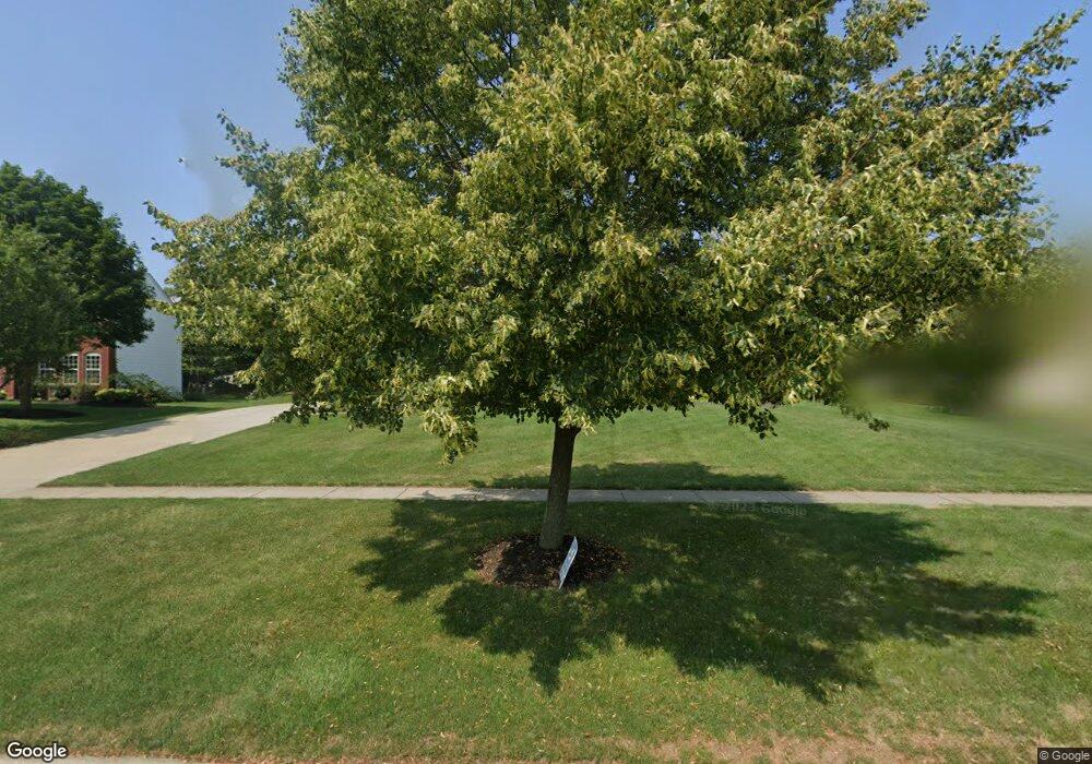
Estimated Value: $524,000 - $648,000
4
Beds
3
Baths
2,837
Sq Ft
$210/Sq Ft
Est. Value
About This Home
This home is located at 36232 S Park Dr, Avon, OH 44011 and is currently estimated at $595,786, approximately $210 per square foot. 36232 S Park Dr is a home located in Lorain County with nearby schools including Avon Heritage South Elementary School, Avon East Elementary School, and Avon Middle School.
Ownership History
Date
Name
Owned For
Owner Type
Purchase Details
Closed on
Aug 1, 2024
Sold by
Thomas Michael W and Thomas Donna L
Bought by
Thomas Family Trust and Thomas
Current Estimated Value
Purchase Details
Closed on
Sep 20, 1999
Sold by
Pulte Homes Of Ohio Corp
Bought by
Thomas Michael W and Thomas Donna I
Home Financials for this Owner
Home Financials are based on the most recent Mortgage that was taken out on this home.
Original Mortgage
$243,300
Interest Rate
7.9%
Mortgage Type
Balloon
Create a Home Valuation Report for This Property
The Home Valuation Report is an in-depth analysis detailing your home's value as well as a comparison with similar homes in the area
Home Values in the Area
Average Home Value in this Area
Purchase History
| Date | Buyer | Sale Price | Title Company |
|---|---|---|---|
| Thomas Family Trust | -- | Guardian Title | |
| Thomas Michael W | $286,300 | Pulte Title Agency Llc |
Source: Public Records
Mortgage History
| Date | Status | Borrower | Loan Amount |
|---|---|---|---|
| Previous Owner | Thomas Michael W | $243,300 |
Source: Public Records
Tax History Compared to Growth
Tax History
| Year | Tax Paid | Tax Assessment Tax Assessment Total Assessment is a certain percentage of the fair market value that is determined by local assessors to be the total taxable value of land and additions on the property. | Land | Improvement |
|---|---|---|---|---|
| 2024 | $8,219 | $167,192 | $57,750 | $109,442 |
| 2023 | $6,796 | $122,861 | $31,752 | $91,109 |
| 2022 | $6,732 | $122,861 | $31,752 | $91,109 |
| 2021 | $6,746 | $122,861 | $31,752 | $91,109 |
| 2020 | $6,529 | $111,590 | $28,840 | $82,750 |
| 2019 | $6,395 | $111,590 | $28,840 | $82,750 |
| 2018 | $5,925 | $111,590 | $28,840 | $82,750 |
| 2017 | $5,574 | $97,790 | $25,200 | $72,590 |
| 2016 | $5,639 | $97,790 | $25,200 | $72,590 |
| 2015 | $5,695 | $97,790 | $25,200 | $72,590 |
| 2014 | $5,294 | $91,680 | $23,630 | $68,050 |
| 2013 | $5,323 | $91,680 | $23,630 | $68,050 |
Source: Public Records
Map
Nearby Homes
- 36327 Wendell St
- S/L 17 Autumn Ct
- S/L 19 Autumn Ct
- The Katherine Plan at Autumn Grove
- The Stony Brook Plan at Autumn Grove
- The Hampton Plan at Autumn Grove
- The Cambridge Plan at Autumn Grove
- The Alexander Plan at Autumn Grove
- The Legacy Plan at Autumn Grove
- The Avondale Plan at Autumn Grove
- The Linville Plan at Autumn Grove
- The Halsted Plan at Autumn Grove
- The Conventry II Plan at Autumn Grove
- The Hillcrest Plan at Autumn Grove
- The Hannah Plan at Autumn Grove
- The Savannah Plan at Autumn Grove
- The Westlake Plan at Autumn Grove
- The Chesapeake Plan at Autumn Grove
- The Atwood Plan at Autumn Grove
- The Canterbury Plan at Autumn Grove
- 36228 S Park Dr
- 36236 S Park Dr
- 36045 Haverford Place
- 36041 Haverford Place
- 36037 Haverford Place
- 4000 Astoria Way
- 36224 S Park Dr
- 36240 S Park Dr
- 36049 Haverford Place
- 36241 S Park Dr
- 36033 Haverford Place
- 3996 Astoria Way
- 36237 Fernway Cir
- 36029 Haverford Place
- 36220 S Park Dr
- 3992 Astoria Way
- 36249 S Park Dr
- 36025 Haverford Place
- 36056 Caronia Cir
- 36272 Southington Ct
