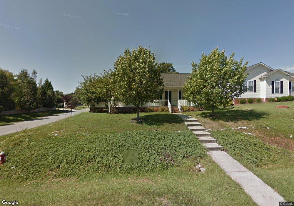
3624 Southpark Dr High Point, NC 27263
Greater High Point NeighborhoodEstimated Value: $225,786 - $258,000
3
Beds
2
Baths
1,190
Sq Ft
$205/Sq Ft
Est. Value
About This Home
This home is located at 3624 Southpark Dr, High Point, NC 27263 and is currently estimated at $244,197, approximately $205 per square foot. 3624 Southpark Dr is a home located in Guilford County with nearby schools including Allen Jay Elementary School, Southern Guilford Middle, and Southern Guilford High School.
Ownership History
Date
Name
Owned For
Owner Type
Purchase Details
Closed on
Jul 22, 2004
Sold by
Stanley Robie Mitchell and Stanley Brenda P
Bought by
Cruz Guillermo Luis Franco and Franco Carmen Lynette
Current Estimated Value
Home Financials for this Owner
Home Financials are based on the most recent Mortgage that was taken out on this home.
Original Mortgage
$117,863
Outstanding Balance
$58,959
Interest Rate
6.24%
Mortgage Type
FHA
Estimated Equity
$185,238
Purchase Details
Closed on
Jul 30, 1999
Sold by
Southpark Llc
Bought by
Stanley Robie Mitchell and Stanley Brenda P
Home Financials for this Owner
Home Financials are based on the most recent Mortgage that was taken out on this home.
Original Mortgage
$102,500
Interest Rate
7.66%
Create a Home Valuation Report for This Property
The Home Valuation Report is an in-depth analysis detailing your home's value as well as a comparison with similar homes in the area
Home Values in the Area
Average Home Value in this Area
Purchase History
| Date | Buyer | Sale Price | Title Company |
|---|---|---|---|
| Cruz Guillermo Luis Franco | $119,000 | -- | |
| Stanley Robie Mitchell | $108,500 | -- |
Source: Public Records
Mortgage History
| Date | Status | Borrower | Loan Amount |
|---|---|---|---|
| Open | Cruz Guillermo Luis Franco | $117,863 | |
| Previous Owner | Stanley Robie Mitchell | $102,500 |
Source: Public Records
Tax History Compared to Growth
Tax History
| Year | Tax Paid | Tax Assessment Tax Assessment Total Assessment is a certain percentage of the fair market value that is determined by local assessors to be the total taxable value of land and additions on the property. | Land | Improvement |
|---|---|---|---|---|
| 2025 | $2,234 | $162,100 | $34,500 | $127,600 |
| 2024 | $2,234 | $162,100 | $34,500 | $127,600 |
| 2023 | $2,234 | $162,100 | $34,500 | $127,600 |
| 2022 | $2,185 | $162,100 | $34,500 | $127,600 |
| 2021 | $1,546 | $112,200 | $17,000 | $95,200 |
| 2020 | $1,546 | $112,200 | $17,000 | $95,200 |
| 2019 | $1,546 | $112,200 | $0 | $0 |
| 2018 | $1,538 | $112,200 | $0 | $0 |
| 2017 | $1,546 | $112,200 | $0 | $0 |
| 2016 | $1,666 | $118,800 | $0 | $0 |
| 2015 | $1,675 | $118,800 | $0 | $0 |
| 2014 | $1,704 | $118,800 | $0 | $0 |
Source: Public Records
Map
Nearby Homes
- 1846 Sechrest Cir
- 1103 Pegram Ave
- 2716 Allen Jay Rd
- 2616 Ingram Rd
- 2708 Ernest St
- 914 Nance Ave
- 706 E Fairfield Rd
- 510 Aldridge Rd
- 600 E Fairfield Rd
- 926 Norton St
- 10812, 10822, 10828 N Main St
- 1640 Kersey Valley Rd
- 10844 N Main St
- 921 Norton St
- 825 Hopewell St
- 302 Brittany Way
- 2719 Granville St
- 1843 Weant Rd
- 3813 Salisbury St
- 512 Dale St
- 3622 Southpark Dr
- 1509 Hughes Ct
- 3620 Southpark Dr
- 3628 Southpark Dr
- 1504 Sunwood Ct
- 1505 Hughes Ct
- 1508 Hughes Ct
- 3618 Southpark Dr
- 3630 Southpark Dr
- 3623 Southpark Dr
- 3625 Southpark Dr
- 3627 Southpark Dr
- 3621 Southpark Dr
- 1504 Hughes Ct
- 1502 Sunwood Ct
- 3629 Southpark Dr
- 3619 Southpark Dr
- 1503 Hughes Ct
- 1502 Hughes Ct
- 3631 Southpark Dr