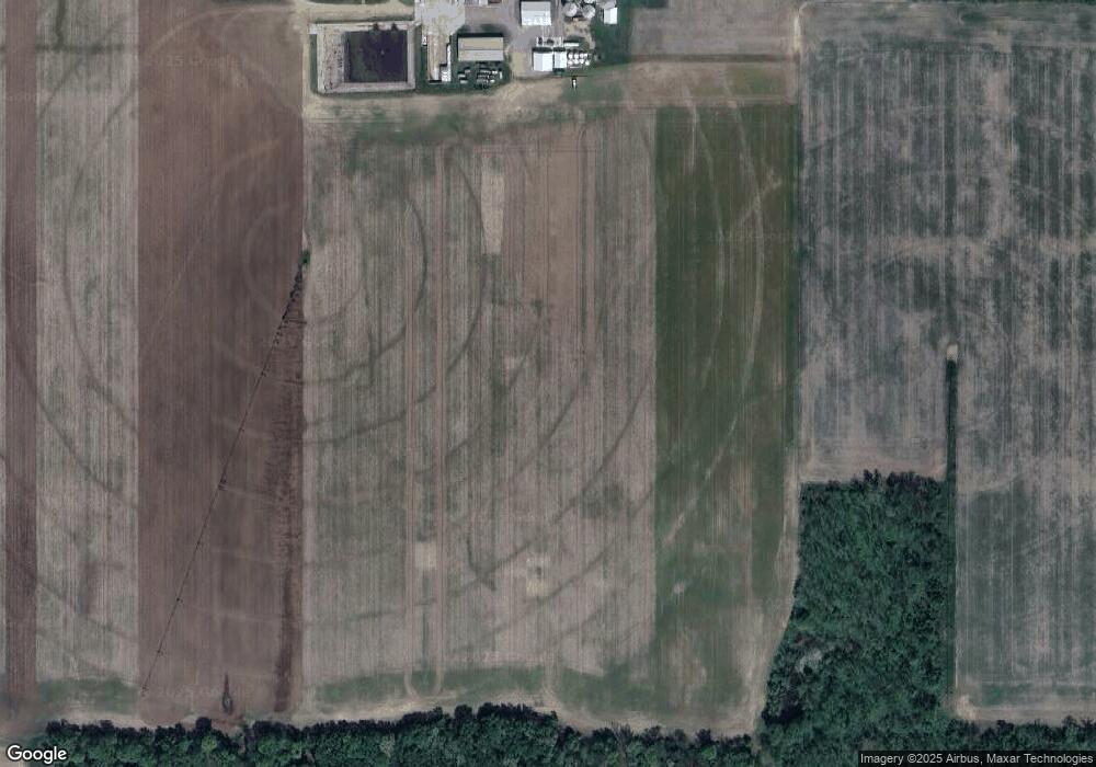
3625 E Sterling Rd Jonesville, MI 49250
Estimated Value: $516,000 - $1,698,263
--
Bed
1
Bath
3,084
Sq Ft
$359/Sq Ft
Est. Value
About This Home
This home is located at 3625 E Sterling Rd, Jonesville, MI 49250 and is currently estimated at $1,107,132, approximately $358 per square foot. 3625 E Sterling Rd is a home with nearby schools including Williams Elementary School, Jonesville Middle School, and Jonesville High School.
Ownership History
Date
Name
Owned For
Owner Type
Purchase Details
Closed on
Feb 23, 2024
Sold by
Godfrey Carter W
Bought by
Godfrey Timothy Scott and Godrey Carter W
Current Estimated Value
Purchase Details
Closed on
Mar 26, 1992
Sold by
Godfrey Richard and Godfrey Martha
Bought by
Godfrey, Richard Trust
Purchase Details
Closed on
Dec 1, 1986
Bought by
Godfrey
Create a Home Valuation Report for This Property
The Home Valuation Report is an in-depth analysis detailing your home's value as well as a comparison with similar homes in the area
Home Values in the Area
Average Home Value in this Area
Purchase History
| Date | Buyer | Sale Price | Title Company |
|---|---|---|---|
| Godfrey Timothy Scott | -- | None Listed On Document | |
| Godfrey Timothy Scott | -- | None Listed On Document | |
| Godfrey Timothy S | -- | None Listed On Document | |
| Godfrey, Richard Trust | $100 | -- | |
| Godfrey | $70,000 | -- |
Source: Public Records
Tax History Compared to Growth
Tax History
| Year | Tax Paid | Tax Assessment Tax Assessment Total Assessment is a certain percentage of the fair market value that is determined by local assessors to be the total taxable value of land and additions on the property. | Land | Improvement |
|---|---|---|---|---|
| 2025 | $12,901 | $786,900 | $0 | $0 |
| 2024 | $4,858 | $755,800 | $0 | $0 |
| 2023 | $4,629 | $711,600 | $0 | $0 |
| 2022 | $11,737 | $645,700 | $0 | $0 |
| 2021 | $114 | $595,200 | $0 | $0 |
| 2020 | $11,290 | $630,900 | $0 | $0 |
| 2019 | $10,877 | $593,300 | $0 | $0 |
| 2018 | $10,401 | $589,200 | $0 | $0 |
| 2017 | $10,010 | $490,200 | $0 | $0 |
| 2016 | $9,766 | $471,600 | $0 | $0 |
| 2015 | $3,836 | $471,600 | $0 | $0 |
| 2013 | $3,716 | $416,790 | $0 | $0 |
| 2012 | $3,629 | $638,810 | $0 | $0 |
Source: Public Records
Map
Nearby Homes
- 6333 Brown Rd
- 10180 Milnes Rd
- 0 Oakridge Dr
- 1477 E Hastings Lake Rd
- 5160 Barker Rd
- 10149 Dennings Rd
- 11091 Milnes Rd
- 6838 Moreland Rd
- VL Rowe Rd
- 8470 Moscow Rd
- 0 Moscow Rd
- VL Weir Rd
- 463 E Chicago St
- 7751 Moreland Rd
- 4219 Kim Dr
- 509 Crest Ln
- 400 Parkwood Dr
- 410 Clinton St
- 321 North St
- 11500 Goose Lake Rd
- 3685 E Sterling Rd
- 3600 E Sterling Rd
- 3723 E
- 4011 E Sterling Rd
- 8117 Strait Rd
- 8171 Strait Rd
- 3040 E Sterling Rd
- 4160 E Sterling Rd
- 7895 Milnes Rd
- 4211 E Sterling Rd
- 2951 E Chicago Rd
- 2980 E Chicago Rd
- 2931 E Chicago Rd
- 0 V/L Milnes Rd
- 0 Milnes Rd
- 4222 E Sterling Rd
- 2971 E Sterling Rd
- 3708 E Chicago Rd
- 4240 E Sterling Rd
- 8451 Strait Rd
