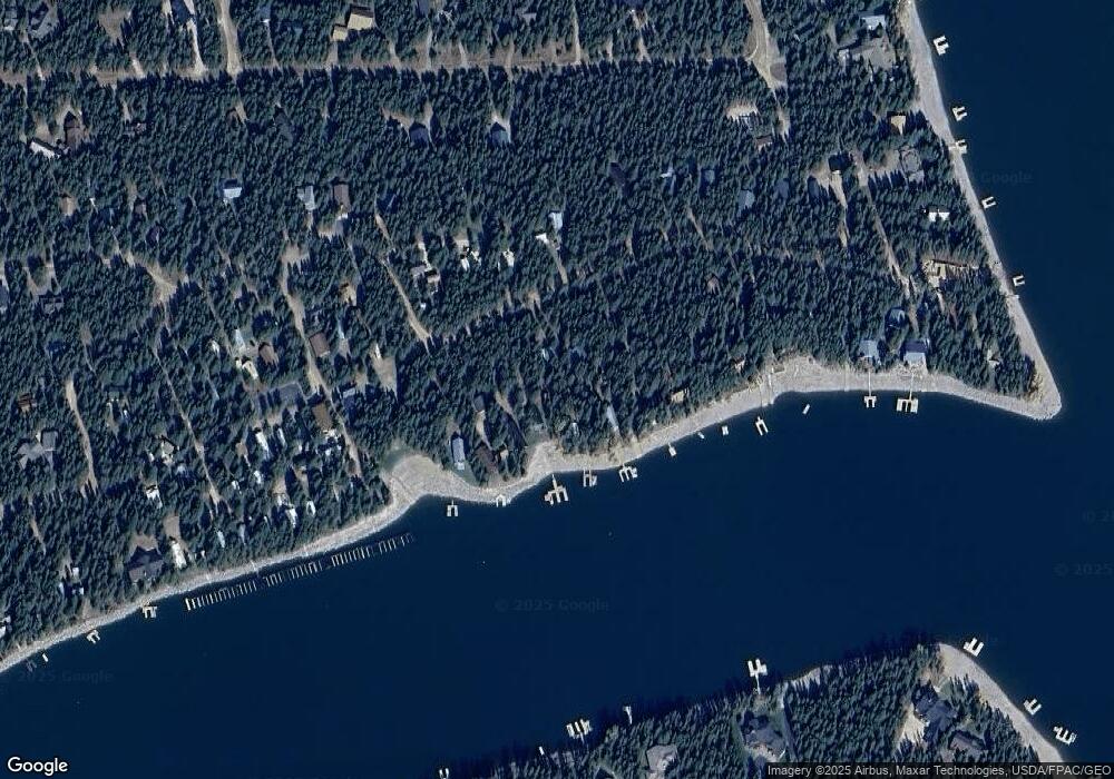
3626 Bills Loop South Rd Island Park, ID 83429
Estimated Value: $564,000 - $1,022,000
2
Beds
1
Bath
912
Sq Ft
$881/Sq Ft
Est. Value
About This Home
This home is located at 3626 Bills Loop South Rd, Island Park, ID 83429 and is currently estimated at $803,505, approximately $881 per square foot. 3626 Bills Loop South Rd is a home with nearby schools including Ashton Elementary School and North Fremont Junior/Senior High School.
Ownership History
Date
Name
Owned For
Owner Type
Purchase Details
Closed on
Aug 26, 2024
Sold by
Farmer Nyle J and Farmer Terri Linn
Bought by
Farmer Family Trust and Farmer
Current Estimated Value
Purchase Details
Closed on
Dec 19, 2017
Sold by
Farmer Nyle J
Bought by
Farmer Nyle J and Farmer Terri
Home Financials for this Owner
Home Financials are based on the most recent Mortgage that was taken out on this home.
Original Mortgage
$280,000
Interest Rate
3.95%
Mortgage Type
New Conventional
Purchase Details
Closed on
Mar 31, 2011
Sold by
Farmer Dewey D and Farmer Helen H
Bought by
Farmer Nyle J and Farmer Family Trust
Create a Home Valuation Report for This Property
The Home Valuation Report is an in-depth analysis detailing your home's value as well as a comparison with similar homes in the area
Home Values in the Area
Average Home Value in this Area
Purchase History
| Date | Buyer | Sale Price | Title Company |
|---|---|---|---|
| Farmer Family Trust | -- | None Listed On Document | |
| Farmer Nyle J | -- | First American Title Rexburg | |
| Farmer Nyle J | -- | None Available |
Source: Public Records
Mortgage History
| Date | Status | Borrower | Loan Amount |
|---|---|---|---|
| Previous Owner | Farmer Nyle J | $280,000 |
Source: Public Records
Tax History Compared to Growth
Tax History
| Year | Tax Paid | Tax Assessment Tax Assessment Total Assessment is a certain percentage of the fair market value that is determined by local assessors to be the total taxable value of land and additions on the property. | Land | Improvement |
|---|---|---|---|---|
| 2025 | $2,599 | $661,719 | $422,869 | $238,850 |
| 2024 | $2,599 | $657,928 | $422,869 | $235,059 |
| 2023 | $2,059 | $489,455 | $254,396 | $235,059 |
| 2022 | $2,623 | $443,960 | $254,396 | $189,564 |
| 2021 | $2,914 | $376,475 | $254,396 | $122,079 |
| 2020 | $3,009 | $361,310 | $254,396 | $106,914 |
| 2019 | $2,980 | $361,310 | $254,396 | $106,914 |
| 2018 | $3,016 | $346,903 | $254,396 | $92,507 |
| 2017 | $31 | $333,205 | $246,764 | $86,441 |
| 2016 | $3,049 | $333,205 | $246,764 | $86,441 |
| 2015 | $2,997 | $333,205 | $0 | $0 |
| 2014 | $2,042 | $333,205 | $0 | $0 |
| 2013 | $2,042 | $333,985 | $0 | $0 |
Source: Public Records
Map
Nearby Homes
- 3380 E Eagle Dr Unit LOT 33
- 3561 Bills Loop Rd
- 3626 Sparrow Hawk St
- 3884 Bills Loop Rd
- 3800 Century Dr
- 3882 G St
- 3889 F St
- 3778 Taylor Mountain Dr
- 3785 Century Dr
- 3581 Tara Ct
- 3575 Tara Ct
- 3755 Bishop Mountain Dr
- 3579 Michele Ln
- 3774 Century Dr
- 3945 Cowan Rd
- 3949 Cowan Rd
- 3431 Kestrel Ct
- 3425 Kestrel
- 3696 Southshore Dr
- 3426 Kestrel
- 3624 Bills Loop Rd
- 3624 Bills Rd S
- 3622 Bills Loop South Rd
- 3630 Bills Loop South Rd
- 3622 Bills Loop Rd
- 3620 Bills Loop Rd
- 3628 Bills Loop South Rd
- 3632 Bills Rd S
- 3633 Bills Rd S
- 3618 Bills Rd S
- 3635 Bills Rd S
- 3634 Bills Rd S
- 3641 Bills Rd S
- 3636 Bills Rd S
- 3627 Bills Loop South Rd
- 3645 Bills Rd S
- 3631 Bills Rd S
- 3622 Island Dr
- 3651 Bills Loop South Rd
- 3647 Bills Rd S
