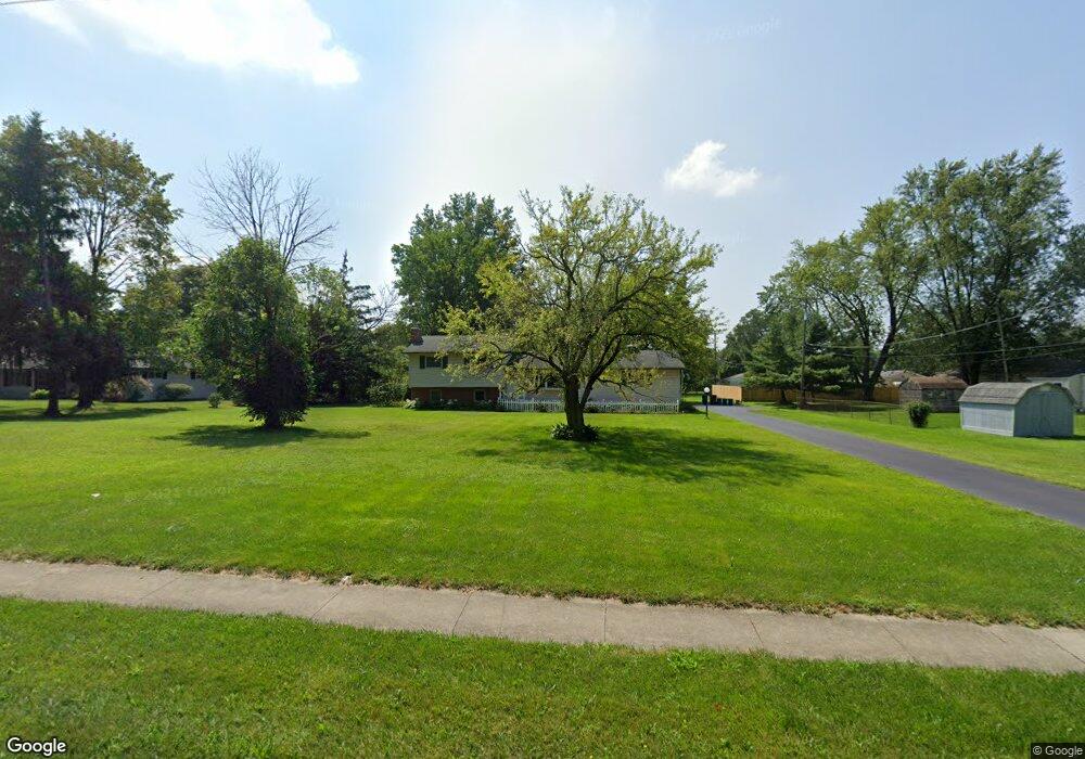
3627 Dempsey Rd Westerville, OH 43081
Estimated Value: $270,000 - $304,000
3
Beds
2
Baths
1,152
Sq Ft
$248/Sq Ft
Est. Value
About This Home
This home is located at 3627 Dempsey Rd, Westerville, OH 43081 and is currently estimated at $286,111, approximately $248 per square foot. 3627 Dempsey Rd is a home located in Franklin County with nearby schools including Huber Ridge Elementary School, Walnut Springs Middle School, and Westerville Central High School.
Ownership History
Date
Name
Owned For
Owner Type
Purchase Details
Closed on
Mar 30, 2012
Sold by
Evans Keith W and Evans Harriet
Bought by
Barnett Keith
Current Estimated Value
Purchase Details
Closed on
Aug 9, 2005
Sold by
Evans Keith W and Evans Harriett L
Bought by
Barnett Keith R
Home Financials for this Owner
Home Financials are based on the most recent Mortgage that was taken out on this home.
Original Mortgage
$130,000
Interest Rate
5%
Mortgage Type
Seller Take Back
Purchase Details
Closed on
Jan 9, 1999
Sold by
Evans Keith W and Evans Harriett L
Bought by
Franklin County Commissioners
Purchase Details
Closed on
Feb 23, 1961
Bought by
Evans Keith W
Create a Home Valuation Report for This Property
The Home Valuation Report is an in-depth analysis detailing your home's value as well as a comparison with similar homes in the area
Home Values in the Area
Average Home Value in this Area
Purchase History
| Date | Buyer | Sale Price | Title Company |
|---|---|---|---|
| Barnett Keith | $186,800 | Meptlc Title | |
| Barnett Keith R | $130,000 | -- | |
| Franklin County Commissioners | -- | -- | |
| Evans Keith W | -- | -- |
Source: Public Records
Mortgage History
| Date | Status | Borrower | Loan Amount |
|---|---|---|---|
| Previous Owner | Barnett Keith R | $130,000 |
Source: Public Records
Tax History Compared to Growth
Tax History
| Year | Tax Paid | Tax Assessment Tax Assessment Total Assessment is a certain percentage of the fair market value that is determined by local assessors to be the total taxable value of land and additions on the property. | Land | Improvement |
|---|---|---|---|---|
| 2024 | $5,291 | $85,790 | $18,730 | $67,060 |
| 2023 | $5,177 | $85,785 | $18,725 | $67,060 |
| 2022 | $6,197 | $76,720 | $21,840 | $54,880 |
| 2021 | $6,239 | $76,720 | $21,840 | $54,880 |
| 2020 | $6,235 | $76,720 | $21,840 | $54,880 |
| 2019 | $5,373 | $60,620 | $21,840 | $38,780 |
| 2018 | $5,492 | $60,620 | $21,840 | $38,780 |
| 2017 | $5,659 | $60,620 | $21,840 | $38,780 |
| 2016 | $6,149 | $65,390 | $26,430 | $38,960 |
| 2015 | $5,825 | $65,390 | $26,430 | $38,960 |
| 2014 | $5,826 | $65,390 | $26,430 | $38,960 |
| 2013 | $2,834 | $65,380 | $26,425 | $38,955 |
Source: Public Records
Map
Nearby Homes
- 3619 Bolamo Dr
- 3578 Carthage Ct
- 6255 Carthage Dr
- 3627 Manila Dr
- 3596 Manila Dr
- 5888 Montevideo Rd
- 1019 Swanton Ct
- 1015 Swanton Ct
- 3551 Manila Dr
- 5769 Montevideo Rd
- 1017 Newfields Ln
- 5910 Cairo Rd
- 6874 Flatlands Rd
- 6001 Cairo Rd
- 5660 Buenos Aires Blvd
- 974 Timberbank Dr
- 3475 Brazzaville Rd
- 3682 Mexico Ave
- 3390 Arnett Ct
- 3616 Stockholm Rd
- 6116 Paris Blvd N
- 6108 Paris Blvd N
- 3621 Dempsey Rd
- 3641 Dempsey Rd
- 6100 Paris Blvd N
- 3636 Bolamo Dr
- 3632 Bolamo Dr
- 6092 Paris Blvd N
- 3640 Bolamo Dr
- 3605 Carthage Ct
- 3646 Bolamo Dr
- 3628 Bolamo Dr
- 3599 Carthage Ct
- 6084 Paris Blvd N
- 6109 Paris Blvd N
- 6115 Bolamo Ct
- 3654 Bolamo Dr
- 6125 Paris Blvd N
- 6101 Paris Blvd N
- 6123 Bolamo Ct