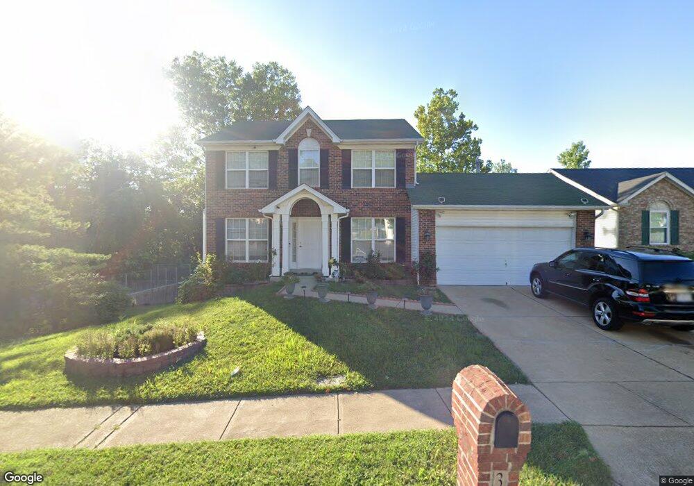
3627 Forest Dale Dr Saint Louis, MO 63125
Mehlville NeighborhoodEstimated Value: $352,610 - $396,000
--
Bed
3
Baths
1,976
Sq Ft
$189/Sq Ft
Est. Value
About This Home
This home is located at 3627 Forest Dale Dr, Saint Louis, MO 63125 and is currently estimated at $374,153, approximately $189 per square foot. 3627 Forest Dale Dr is a home located in St. Louis County with nearby schools including Bierbaum Elementary School, Margaret Buerkle Middle School, and Mehlville High School.
Ownership History
Date
Name
Owned For
Owner Type
Purchase Details
Closed on
Nov 8, 2010
Sold by
Wells Fargo Financial Missouri Inc
Bought by
Karic Semso and Karic Elmedina
Current Estimated Value
Home Financials for this Owner
Home Financials are based on the most recent Mortgage that was taken out on this home.
Original Mortgage
$124,000
Outstanding Balance
$81,688
Interest Rate
4.24%
Mortgage Type
New Conventional
Estimated Equity
$292,465
Purchase Details
Closed on
Sep 17, 2010
Sold by
Schremp Stacie A and Schremp Steven A
Bought by
Wells Fargo Financial Missouri Inc
Home Financials for this Owner
Home Financials are based on the most recent Mortgage that was taken out on this home.
Original Mortgage
$124,000
Outstanding Balance
$81,688
Interest Rate
4.24%
Mortgage Type
New Conventional
Estimated Equity
$292,465
Create a Home Valuation Report for This Property
The Home Valuation Report is an in-depth analysis detailing your home's value as well as a comparison with similar homes in the area
Home Values in the Area
Average Home Value in this Area
Purchase History
| Date | Buyer | Sale Price | Title Company |
|---|---|---|---|
| Karic Semso | $155,000 | None Available | |
| Wells Fargo Financial Missouri Inc | $164,000 | None Available |
Source: Public Records
Mortgage History
| Date | Status | Borrower | Loan Amount |
|---|---|---|---|
| Open | Karic Semso | $124,000 |
Source: Public Records
Tax History Compared to Growth
Tax History
| Year | Tax Paid | Tax Assessment Tax Assessment Total Assessment is a certain percentage of the fair market value that is determined by local assessors to be the total taxable value of land and additions on the property. | Land | Improvement |
|---|---|---|---|---|
| 2025 | $3,723 | $63,580 | $17,200 | $46,380 |
| 2024 | $3,723 | $54,950 | $8,610 | $46,340 |
| 2023 | $3,675 | $54,950 | $8,610 | $46,340 |
| 2022 | $3,620 | $50,260 | $8,610 | $41,650 |
| 2021 | $3,211 | $50,260 | $8,610 | $41,650 |
| 2020 | $2,998 | $44,600 | $8,610 | $35,990 |
| 2019 | $2,989 | $44,600 | $8,610 | $35,990 |
| 2018 | $2,879 | $38,780 | $6,710 | $32,070 |
| 2017 | $2,875 | $38,780 | $6,710 | $32,070 |
| 2016 | $2,853 | $36,920 | $6,710 | $30,210 |
| 2015 | $2,674 | $36,920 | $6,710 | $30,210 |
| 2014 | $2,591 | $35,400 | $6,840 | $28,560 |
Source: Public Records
Map
Nearby Homes
- 11074 Kohrs Ln
- 9201 Cedarberry Ct
- 4124 Lois Ln
- 4110 Lois Ln
- 10822 Antrill Dr
- 4146 Crescent Dr
- 9511 Alix Dr
- 3808 Southern Manor Dr
- 6935 Colonial Woods Dr Unit 23
- 6911 Colonial Woods Dr Unit 7
- 10916 Arctic Dr
- 6910 Colonial Woods Dr Unit 95
- 6904 Colonial Woods Dr Unit 100
- 3656 Colonia Place Dr Unit C
- 6990 Colonial Woods Dr Unit 59
- 3724 Southern Manor Dr
- 11345 Revere Ln
- 5837 Oak Forest Ln
- 3301 Avenue H
- 25 Fawnwood Dr
- 3623 Forest Dale Dr
- 3619 Forest Dale Dr
- 3628 Forest Dale Dr
- 3639 Forest Dale Dr
- 3624 Forest Dale Dr
- 3620 Forest Dale Dr
- 3636 Forest Dale Dr
- 3615 Forest Dale Dr
- 3643 Forest Dale Dr
- 3640 Forest Dale Dr
- 3611 Forest Dale Dr
- 3647 Forest Dale Dr
- 3644 Forest Dale Dr
- 4538 Bellewood Dr
- 4542 Bellewood Dr
- 4534 Bellewood Dr
- 4530 Bellewood Dr
- 4526 Bellewood Dr
- 3652 Forest Dale Dr
- 3651 Forest Dale Dr