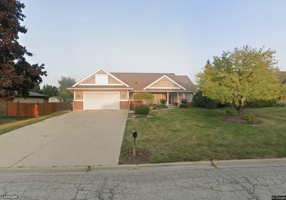
36271 N Falcon Dr Ingleside, IL 60041
Estimated Value: $369,378 - $438,000
Studio
2
Baths
2,213
Sq Ft
$179/Sq Ft
Est. Value
About This Home
This home is located at 36271 N Falcon Dr, Ingleside, IL 60041 and is currently estimated at $396,095, approximately $178 per square foot. 36271 N Falcon Dr is a home located in Lake County with nearby schools including Gavin Central Elementary School, Gavin South Middle School, and Grant Community High School.
Ownership History
Date
Name
Owned For
Owner Type
Purchase Details
Closed on
Apr 1, 2004
Sold by
Mcloughlin Henrietta
Bought by
Mcloughlin Jeffrey R and Mcloughlin Mary
Current Estimated Value
Home Financials for this Owner
Home Financials are based on the most recent Mortgage that was taken out on this home.
Original Mortgage
$200,000
Interest Rate
6.46%
Mortgage Type
Purchase Money Mortgage
Create a Home Valuation Report for This Property
The Home Valuation Report is an in-depth analysis detailing your home's value as well as a comparison with similar homes in the area
Home Values in the Area
Average Home Value in this Area
Purchase History
| Date | Buyer | Sale Price | Title Company |
|---|---|---|---|
| Mcloughlin Jeffrey R | $250,000 | -- |
Source: Public Records
Mortgage History
| Date | Status | Borrower | Loan Amount |
|---|---|---|---|
| Closed | Mcloughlin Jeffrey R | $200,000 |
Source: Public Records
Tax History
| Year | Tax Paid | Tax Assessment Tax Assessment Total Assessment is a certain percentage of the fair market value that is determined by local assessors to be the total taxable value of land and additions on the property. | Land | Improvement |
|---|---|---|---|---|
| 2024 | $7,925 | $124,709 | $18,196 | $106,513 |
| 2023 | $8,173 | $110,098 | $17,142 | $92,956 |
| 2022 | $8,173 | $108,918 | $14,166 | $94,752 |
| 2021 | $7,902 | $102,666 | $13,353 | $89,313 |
| 2020 | $8,055 | $100,375 | $13,161 | $87,214 |
| 2019 | $7,784 | $96,255 | $12,621 | $83,634 |
| 2018 | $7,493 | $92,638 | $17,112 | $75,526 |
| 2017 | $7,329 | $85,626 | $15,817 | $69,809 |
| 2016 | $7,687 | $78,312 | $14,466 | $63,846 |
| 2015 | $8,006 | $73,079 | $13,499 | $59,580 |
| 2014 | $6,860 | $65,352 | $13,926 | $51,426 |
| 2012 | $4,946 | $68,096 | $14,511 | $53,585 |
Source: Public Records
Map
Nearby Homes
- 36138 N Tara Ct
- 36409 N Tara Ct
- 26203 W Grand Ave
- 26101 W Roseland Ct
- 35720 N Laurel Ave
- 35706 N Benjamin Ave
- 35669 N Benjamin Ave
- 36825 N Lake St
- 25616 W Lake Shore Dr
- 26179 W Tarvin Ln
- 310 Mastodon Dr
- 69 Washington St
- 605 Rollins Rd
- 36440 N Westmoor Ave
- 25283 W Timber Ln
- 35105 N Ingleside Dr
- 35359 N Donald Ct
- 35399 N Donald Ct
- 24731 W Orchard Place
- 35080 N Ellen Dr
- 36255 N Falcon Dr
- 36289 N Falcon Dr Unit 3
- 36237 N Falcon Dr
- 36307 N Falcon Dr
- 25891 W Shandon Dr
- 36219 N Falcon Dr
- 25873 W Shandon Dr
- 36242 N Tara Ct
- 36250 N Tara Ct
- 36270 N Falcon Dr
- 36252 N Falcon Dr
- 36290 N Falcon Dr
- 36230 N Tara Ct
- 36232 N Falcon Dr
- 36310 N Falcon Dr
- 25851 W Shandon Dr
- 36203 N Falcon Dr
- 36218 N Tara Ct
- 36268 N Tara Ct
- 36212 N Falcon Dr
Your Personal Tour Guide
Ask me questions while you tour the home.