36290 Patches Cir Anchor Point, AK 99556
Estimated Value: $40,000 - $247,000
2
Beds
1
Bath
1,152
Sq Ft
$153/Sq Ft
Est. Value
About This Home
This home is located at 36290 Patches Cir, Anchor Point, AK 99556 and is currently estimated at $176,820, approximately $153 per square foot. 36290 Patches Cir is a home located in Kenai Peninsula Borough with nearby schools including Nikolaevsk School.
Ownership History
Date
Name
Owned For
Owner Type
Purchase Details
Closed on
Dec 16, 2022
Sold by
Anderson Arlynn L and Anderson Janice L
Bought by
Anderson Grant C
Current Estimated Value
Home Financials for this Owner
Home Financials are based on the most recent Mortgage that was taken out on this home.
Original Mortgage
$95,790
Interest Rate
6.27%
Mortgage Type
New Conventional
Purchase Details
Closed on
Jun 24, 2002
Sold by
Boggs Jefferson S and Boggs Linda C
Bought by
Anderson Arlynn L and Anderson Janice L
Create a Home Valuation Report for This Property
The Home Valuation Report is an in-depth analysis detailing your home's value as well as a comparison with similar homes in the area
Home Values in the Area
Average Home Value in this Area
Purchase History
| Date | Buyer | Sale Price | Title Company |
|---|---|---|---|
| Anderson Grant C | -- | None Listed On Document | |
| Anderson Arlynn L | -- | -- |
Source: Public Records
Mortgage History
| Date | Status | Borrower | Loan Amount |
|---|---|---|---|
| Previous Owner | Anderson Grant C | $95,790 |
Source: Public Records
Tax History Compared to Growth
Tax History
| Year | Tax Paid | Tax Assessment Tax Assessment Total Assessment is a certain percentage of the fair market value that is determined by local assessors to be the total taxable value of land and additions on the property. | Land | Improvement |
|---|---|---|---|---|
| 2025 | $1,279 | $178,000 | $18,800 | $159,200 |
| 2024 | $640 | $174,100 | $18,200 | $155,900 |
| 2023 | $1,222 | $163,500 | $15,400 | $148,100 |
| 2022 | $850 | $126,600 | $13,500 | $113,100 |
| 2021 | $807 | $125,400 | $13,000 | $112,400 |
| 2020 | $801 | $121,600 | $13,000 | $108,600 |
| 2019 | $409 | $123,400 | $15,000 | $108,400 |
| 2018 | $807 | $122,400 | $15,000 | $107,400 |
| 2017 | $672 | $111,400 | $11,300 | $100,100 |
| 2016 | $650 | $109,400 | $11,300 | $98,100 |
| 2015 | $938 | $106,900 | $11,300 | $95,600 |
| 2014 | $938 | $106,400 | $11,300 | $95,100 |
Source: Public Records
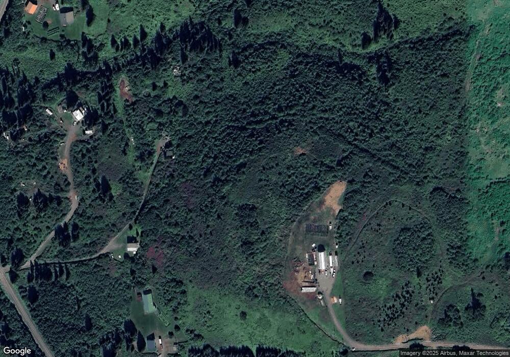
Map
Nearby Homes
- 66822 Kennedy Ave
- 34540 Alamar Rd
- 36095 Flinstone St
- 36075 Flinstone St
- 34113 Bluegrass St
- 65265 Knob Hill Rd
- Tr 43 Handcart Rd (Trail Access)
- 39047 Sayer Rd
- 68062 Jolly Ave
- 14 Lots Hard Rock St
- 68021 Jolly Ave
- 69783 Tipton Ave
- 33790 Handcart Rd
- 33670 Handcart Rd
- 41350 Old Sterling Hwy
- 69288 Melody Way
- 41330 Old Sterling Hwy
- 39720 Sterling Hwy
- 0001 W Highland Blvd
- 0002 W Highland Blvd
- 36240 Patches Cir
- 66182 Ring of Fire Ave
- L1 Patches Cir
- 36195 Patches Cir
- 36440 2nd St
- 35740 North Fork Rd
- L6GA Vicki Ln
- L6GA Ronda St
- L H4 Ilene Dr
- 35720 North Fork Rd
- 30766 N Fork Rd
- 35840 N Fork Rd
- 66281 Cryptic Ave
- 36552 Somewhere St
- 36545 Somewhere St
- 66478 Vicki Ln
- 35840 North Fork Rd
- 66105 Ring of Fire Ave
- L1A N Fork Rd
- LG6E Vicki Ln