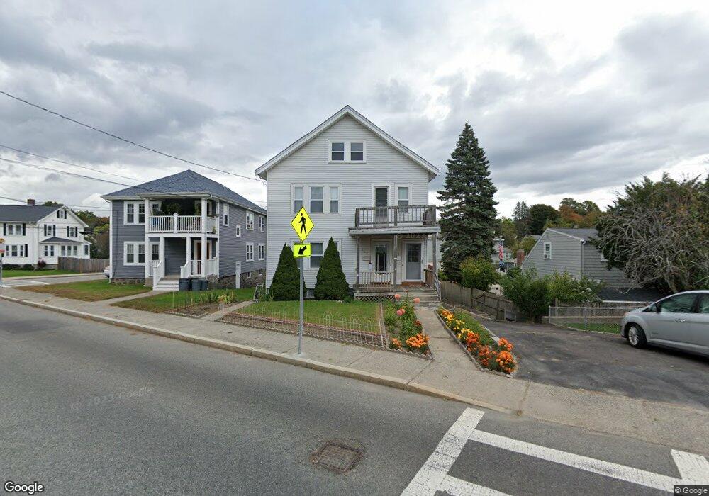
363 Baker St Unit 365 West Roxbury, MA 02132
West Roxbury NeighborhoodEstimated Value: $821,000 - $1,127,000
5
Beds
3
Baths
2,408
Sq Ft
$392/Sq Ft
Est. Value
About This Home
This home is located at 363 Baker St Unit 365, West Roxbury, MA 02132 and is currently estimated at $944,776, approximately $392 per square foot. 363 Baker St Unit 365 is a home located in Suffolk County with nearby schools including St Theresa School, Catholic Memorial School, and The Roxbury Latin School.
Ownership History
Date
Name
Owned For
Owner Type
Purchase Details
Closed on
Dec 28, 2017
Sold by
Svetlana Skabeev Vasily and Svetlana Skabeeva
Bought by
Skabeev Konstantin and Shvartsman Tatiana
Current Estimated Value
Purchase Details
Closed on
Jul 14, 1999
Sold by
Butler J Michael and Butler Mary K
Bought by
Skabeev Vasily
Home Financials for this Owner
Home Financials are based on the most recent Mortgage that was taken out on this home.
Original Mortgage
$212,000
Interest Rate
7.39%
Mortgage Type
Purchase Money Mortgage
Create a Home Valuation Report for This Property
The Home Valuation Report is an in-depth analysis detailing your home's value as well as a comparison with similar homes in the area
Home Values in the Area
Average Home Value in this Area
Purchase History
| Date | Buyer | Sale Price | Title Company |
|---|---|---|---|
| Skabeev Konstantin | -- | -- | |
| Skabeev Vasily | $265,000 | -- |
Source: Public Records
Mortgage History
| Date | Status | Borrower | Loan Amount |
|---|---|---|---|
| Previous Owner | Skabeev Vasily | $137,000 | |
| Previous Owner | Skabeev Vasily | $185,000 | |
| Previous Owner | Skabeev Vasily | $212,000 | |
| Previous Owner | Skabeev Vasily | $127,800 |
Source: Public Records
Tax History Compared to Growth
Tax History
| Year | Tax Paid | Tax Assessment Tax Assessment Total Assessment is a certain percentage of the fair market value that is determined by local assessors to be the total taxable value of land and additions on the property. | Land | Improvement |
|---|---|---|---|---|
| 2025 | $9,352 | $807,600 | $274,400 | $533,200 |
| 2024 | $8,347 | $765,800 | $246,500 | $519,300 |
| 2023 | $7,831 | $729,100 | $234,700 | $494,400 |
| 2022 | $7,627 | $701,000 | $225,700 | $475,300 |
| 2021 | $6,990 | $655,100 | $210,900 | $444,200 |
| 2020 | $6,307 | $597,300 | $190,200 | $407,100 |
| 2019 | $5,939 | $563,500 | $153,500 | $410,000 |
| 2018 | $5,623 | $536,500 | $153,500 | $383,000 |
| 2017 | $5,309 | $501,300 | $153,500 | $347,800 |
| 2016 | $5,303 | $482,100 | $153,500 | $328,600 |
| 2015 | $5,411 | $446,800 | $178,800 | $268,000 |
| 2014 | $5,302 | $421,500 | $178,800 | $242,700 |
Source: Public Records
Map
Nearby Homes
- 381 Baker St
- 349 Baker St Unit A
- 101 Chesbrough Rd
- 183 Temple St
- 331 Vermont St
- 480 Baker St
- 100 Keith St
- 1216 Vfw Pkwy Unit 40
- 1214 Vfw Pkwy Unit 37
- 9 Carroll St
- 20 Tarleton Rd
- 615 Lagrange St
- 539 Lagrange St
- 196 Gardner St Unit 196
- 79 Potomac St
- 15 Atlantis St
- 7 Cass St Unit 6
- 27-29 Temple St
- 577 Baker St Unit 577
- 583 Baker St Unit 583
- 74 Bryon Rd Unit 2
- 1000 Confidential Ave
- 68 Bryant Rd Unit 3
- 50/56 Broadlawn Park Unit 420
- 50/56 Broadlawn Park Unit 323
- 50/56 Broadlawn Park Unit 421
- 50/56 Broadlawn Park Unit 111
- 50/56 Broadlawn Park Unit 205
- 50/56 Broadlawn Park Unit 515 50/56
- 50/56 Broadlawn Park Unit 304
- 50/56 Broadlawn Park Unit 216
- 50/56 Broadlawn Park Unit 112
- 50/56 Broadlawn Park Unit 103
- 50/56 Broadlawn Park Unit 322
- 50/56 Broadlawn Park Unit 404
- 0 Seymour Rd 104 Unit 30727296
- 50/56 Broadlawn Park Unit 518
- 72 Bryant Rd Unit 3
- 68 Bryant Rd Unit 5
- 74 Bryon Rd Unit 6