363 Browning Rd Fairmount, GA 30139
Estimated Value: $263,574 - $385,000
--
Bed
--
Bath
1,222
Sq Ft
$261/Sq Ft
Est. Value
About This Home
This home is located at 363 Browning Rd, Fairmount, GA 30139 and is currently estimated at $318,858, approximately $260 per square foot. 363 Browning Rd is a home with nearby schools including Hill City Elementary School, Pickens County Middle School, and Pickens County High School.
Ownership History
Date
Name
Owned For
Owner Type
Purchase Details
Closed on
Feb 14, 2024
Sold by
Mohundro Dana Shenice
Bought by
Mohundro Dana Shenice and Mohundro Steven Dillon
Current Estimated Value
Purchase Details
Closed on
Mar 21, 2019
Sold by
Harrington Tyler Mason
Bought by
Bunch Dana Shenice
Home Financials for this Owner
Home Financials are based on the most recent Mortgage that was taken out on this home.
Original Mortgage
$119,612
Interest Rate
4.3%
Mortgage Type
New Conventional
Create a Home Valuation Report for This Property
The Home Valuation Report is an in-depth analysis detailing your home's value as well as a comparison with similar homes in the area
Home Values in the Area
Average Home Value in this Area
Purchase History
| Date | Buyer | Sale Price | Title Company |
|---|---|---|---|
| Mohundro Dana Shenice | -- | -- | |
| Bunch Dana Shenice | $20,000 | -- |
Source: Public Records
Mortgage History
| Date | Status | Borrower | Loan Amount |
|---|---|---|---|
| Previous Owner | Bunch Dana Shenice | $119,612 |
Source: Public Records
Tax History Compared to Growth
Tax History
| Year | Tax Paid | Tax Assessment Tax Assessment Total Assessment is a certain percentage of the fair market value that is determined by local assessors to be the total taxable value of land and additions on the property. | Land | Improvement |
|---|---|---|---|---|
| 2024 | $1,317 | $66,547 | $16,500 | $50,047 |
| 2023 | $1,353 | $66,547 | $16,500 | $50,047 |
| 2022 | $1,353 | $66,547 | $16,500 | $50,047 |
| 2021 | $1,450 | $66,547 | $16,500 | $50,047 |
| 2020 | $1,494 | $66,547 | $16,500 | $50,047 |
| 2019 | $1,528 | $66,547 | $16,500 | $50,047 |
| 2018 | $1,542 | $66,547 | $16,500 | $50,047 |
| 2017 | $910 | $38,641 | $15,637 | $23,004 |
| 2016 | $572 | $23,917 | $23,917 | $0 |
| 2015 | -- | $23,917 | $23,917 | $0 |
| 2014 | -- | $7,628 | $0 | $7,628 |
Source: Public Records
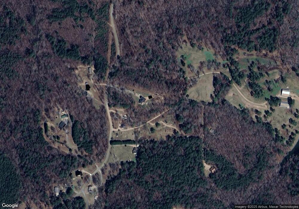
Map
Nearby Homes
- 11953 Henderson Mountain Rd
- 668 Long Rd
- 0 Young Loop Unit 7206
- 1514 Bryant Rd
- Lot 4 Young Loop
- Lot 5 Young Loop
- 572 Young Loop
- 0 Moores Gin Rd Unit 9693 10325272
- 0 Highway 53 W Unit 7205- NORTH 10585266
- 2520 Carlan Rd
- 487 Angel Rd
- 2075 Jerusalem Church Rd
- 9351 Henderson Mountain Rd
- 0 Pin Hook Rd Unit 7616347
- Lot 4 Jerusalem Church Rd
- 10746 Highway 53 W
- Lot 1 Thompson Ln
- 000 Black Knob Church Rd
- 13675 Highway 53
- 905 Hancock Mountain Trail
- 850 Browning Rd
- 800 Browning Rd
- 447 Browning Rd
- 525 Browning Rd
- 9 Stevenson Rd
- 11180 Henderson Mountain Rd
- 91 Browning Rd
- 445 Browning Rd
- 79 Stevenson Rd
- 1767 A Long Branch Rd
- 000 Browning Rd
- 217 Childers Ln
- 1226 Long Rd
- 154 Stevenson Rd
- 585 Long Rd
- 186 Shade Tree Ln
- 1062 Long Rd
- 1101 Long Rd
- 101 Send Me Way
- 276 Stevenson Rd