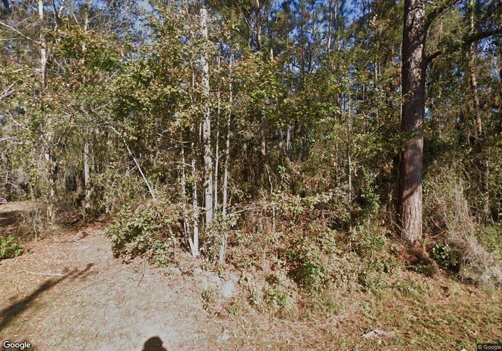
363 Camellia Rd Midway, GA 31320
Estimated Value: $74,612 - $305,000
--
Bed
--
Bath
--
Sq Ft
0.38
Acres
About This Home
This home is located at 363 Camellia Rd, Midway, GA 31320 and is currently estimated at $183,653. 363 Camellia Rd is a home with nearby schools including Liberty Elementary School, Midway Middle School, and Liberty County High School.
Ownership History
Date
Name
Owned For
Owner Type
Purchase Details
Closed on
May 7, 2008
Sold by
Nessmith Teresa D
Bought by
Nessmith Garland L
Current Estimated Value
Purchase Details
Closed on
Oct 21, 2004
Sold by
Hall Rodney S
Bought by
Nessmith Theresa D
Purchase Details
Closed on
Feb 17, 1997
Sold by
Nessmith Teresa
Bought by
Hall Rodney S
Purchase Details
Closed on
Mar 31, 1987
Bought by
Nessmith Teresa
Create a Home Valuation Report for This Property
The Home Valuation Report is an in-depth analysis detailing your home's value as well as a comparison with similar homes in the area
Home Values in the Area
Average Home Value in this Area
Purchase History
| Date | Buyer | Sale Price | Title Company |
|---|---|---|---|
| Nessmith Garland L | -- | -- | |
| Nessmith Theresa D | -- | -- | |
| Hall Rodney S | $29,500 | -- | |
| Nessmith Teresa | $20,000 | -- |
Source: Public Records
Tax History Compared to Growth
Tax History
| Year | Tax Paid | Tax Assessment Tax Assessment Total Assessment is a certain percentage of the fair market value that is determined by local assessors to be the total taxable value of land and additions on the property. | Land | Improvement |
|---|---|---|---|---|
| 2024 | $428 | $10,388 | $8,000 | $2,388 |
| 2023 | $428 | $9,812 | $7,424 | $2,388 |
| 2022 | $378 | $9,812 | $7,424 | $2,388 |
| 2021 | $376 | $9,812 | $7,424 | $2,388 |
| 2020 | $378 | $9,812 | $7,424 | $2,388 |
| 2019 | $368 | $9,812 | $7,424 | $2,388 |
| 2018 | $363 | $9,812 | $7,424 | $2,388 |
| 2017 | $323 | $9,812 | $7,424 | $2,388 |
| 2016 | $338 | $9,812 | $7,424 | $2,388 |
| 2015 | $342 | $9,812 | $7,424 | $2,388 |
| 2014 | $342 | $9,812 | $7,424 | $2,388 |
| 2013 | -- | $9,811 | $7,424 | $2,387 |
Source: Public Records
Map
Nearby Homes
- LOT 34 Japonica Rd
- 437 Kings Rd
- 65 Plantation Rd
- 0 Plantation Rd Unit SA337074
- 339 Plantation Rd
- 207 Azalea Rd Unit 21
- 101 Plantation Rd
- 238 Sea Island Dr
- 48 Sea Island Dr
- 163 Sea Island Dr
- 276 Circle Dr
- 743 Cattle Hammock Rd
- 137 Sunrise Cir
- 304 Sunrise Cir
- Lot 78 Oyster Point Dr
- 255 Oyster Point Dr
- 252 River Dr
- 36 Salt Marsh Dr
- 20 Salt Marsh Dr
- Lot 87 Oyster Point Dr