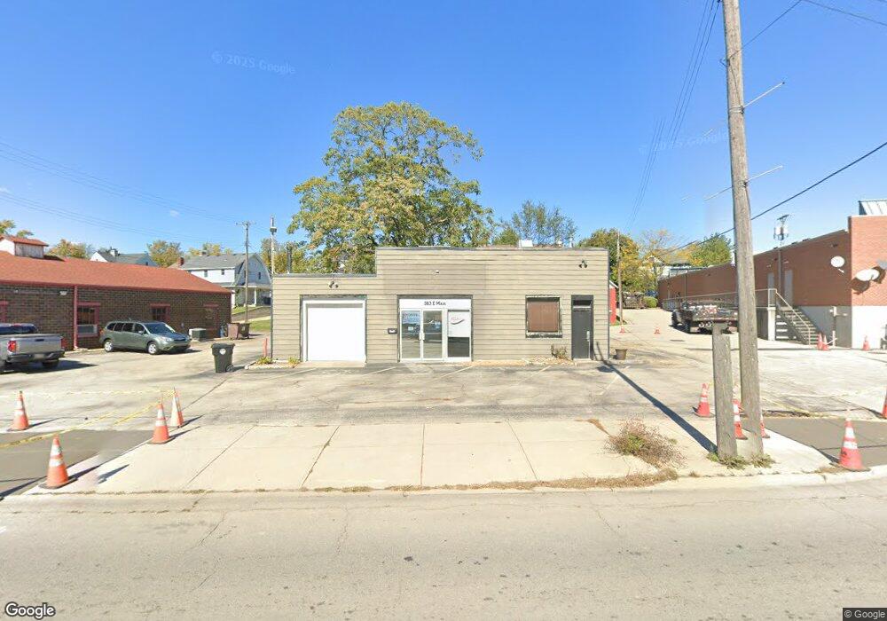
363 E Main St Wilmington, OH 45177
Estimated Value: $159,389
Studio
--
Bath
1,196
Sq Ft
$133/Sq Ft
Est. Value
About This Home
This home is located at 363 E Main St, Wilmington, OH 45177 and is currently estimated at $159,389, approximately $133 per square foot. 363 E Main St is a home located in Clinton County with nearby schools including East End Elementary School, Denver Place Elementary School, and Roy E. Holmes Elementary School.
Ownership History
Date
Name
Owned For
Owner Type
Purchase Details
Closed on
Feb 25, 2015
Sold by
Gtm Properties Llc
Bought by
Gtm Properties Llc
Current Estimated Value
Home Financials for this Owner
Home Financials are based on the most recent Mortgage that was taken out on this home.
Interest Rate
3.76%
Purchase Details
Closed on
Feb 17, 2015
Sold by
Gtm Properties Llc
Bought by
Gtm Properties Llc
Home Financials for this Owner
Home Financials are based on the most recent Mortgage that was taken out on this home.
Interest Rate
3.76%
Purchase Details
Closed on
Aug 24, 1992
Bought by
Bosier Eddie and Bosier Frances L
Create a Home Valuation Report for This Property
The Home Valuation Report is an in-depth analysis detailing your home's value as well as a comparison with similar homes in the area
Home Values in the Area
Average Home Value in this Area
Purchase History
| Date | Buyer | Sale Price | Title Company |
|---|---|---|---|
| Gtm Properties Llc | -- | -- | |
| Gtm Properties Llc | $75,000 | -- | |
| Bosier Eddie | -- | -- |
Source: Public Records
Mortgage History
| Date | Status | Borrower | Loan Amount |
|---|---|---|---|
| Closed | Gtm Properties Llc | -- | |
| Closed | Gtm Properties Llc | -- |
Source: Public Records
Tax History
| Year | Tax Paid | Tax Assessment Tax Assessment Total Assessment is a certain percentage of the fair market value that is determined by local assessors to be the total taxable value of land and additions on the property. | Land | Improvement |
|---|---|---|---|---|
| 2025 | $867 | $21,110 | $7,490 | $13,620 |
| 2024 | $867 | $21,110 | $7,490 | $13,620 |
| 2023 | $911 | $21,110 | $7,490 | $13,620 |
| 2022 | $742 | $16,680 | $7,750 | $8,930 |
| 2021 | $795 | $16,680 | $7,750 | $8,930 |
| 2020 | $768 | $16,680 | $7,750 | $8,930 |
| 2019 | $946 | $18,830 | $7,750 | $11,080 |
| 2018 | $954 | $18,830 | $7,750 | $11,080 |
| 2017 | $932 | $18,830 | $7,750 | $11,080 |
| 2016 | $771 | $6,370 | $0 | $0 |
| 2015 | $759 | $6,370 | $0 | $0 |
| 2013 | $726 | $6,370 | $0 | $0 |
Source: Public Records
Map
Nearby Homes
- 0 Prairie Rd Unit 1863689
- 287 E Locust St
- 0 Antioch Rd Unit 891198
- 136 High St
- 170 N Wall St
- 0 St Rt 134 Unit 1607133
- 0 S US Rt 68 Unit 1527315
- 731 Fife Ave
- 272 S Walnut St
- 346 Virginia Cir
- 1.458 AC Prairie Ave
- 15 Meadow Run Trail Unit 6A
- 19 Prairie Creek Crossing
- 345 Virginia Cir
- 286 S South St
- 379 Virginia Cir
- 484 Marlena Dr
- 146 N Spring St
- 69 W Vine St
- 570 N Walnut St
- 341 E Main St
- 354 E Locust St
- 338 E Locust St
- 340 E Locust St
- 326 E Locust St
- 302 E Locust St
- 316 E Locust St
- 359 E Locust St
- 347 E Locust St
- 373 E Locust St
- 341 E Locust St
- 286 E Locust St
- 327 E Locust St
- 321 E Locust St
- 309 E Locust St
- 276 E Locust St
- 0 Prairie Rd Unit 1835070
- 0 Prairie Rd Unit 1825837
- 0 Prairie Rd Unit 1823059
- 0 Prairie Rd Unit 1797478
Your Personal Tour Guide
Ask me questions while you tour the home.