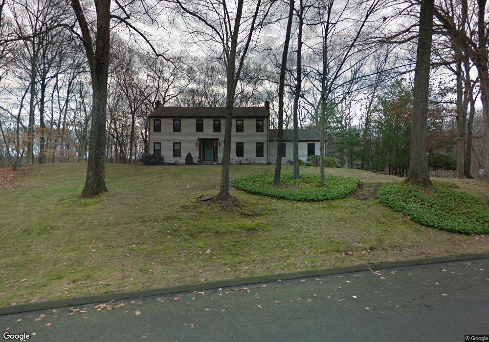
363 Fallowfield Rd Fairfield, CT 06824
Greenfield Hill NeighborhoodEstimated Value: $1,280,026 - $2,077,000
5
Beds
3
Baths
3,280
Sq Ft
$518/Sq Ft
Est. Value
About This Home
This home is located at 363 Fallowfield Rd, Fairfield, CT 06824 and is currently estimated at $1,698,507, approximately $517 per square foot. 363 Fallowfield Rd is a home located in Fairfield County with nearby schools including Burr Elementary School, Tomlinson Middle School, and Fairfield Warde High School.
Ownership History
Date
Name
Owned For
Owner Type
Purchase Details
Closed on
Dec 29, 1989
Sold by
Mcdougall William
Bought by
Orendorf William M
Current Estimated Value
Home Financials for this Owner
Home Financials are based on the most recent Mortgage that was taken out on this home.
Original Mortgage
$230,000
Interest Rate
9.61%
Mortgage Type
Purchase Money Mortgage
Purchase Details
Closed on
Mar 9, 1987
Sold by
Grace Newell H
Bought by
Mcdougall Wm D
Create a Home Valuation Report for This Property
The Home Valuation Report is an in-depth analysis detailing your home's value as well as a comparison with similar homes in the area
Home Values in the Area
Average Home Value in this Area
Purchase History
| Date | Buyer | Sale Price | Title Company |
|---|---|---|---|
| Orendorf William M | $556,000 | -- | |
| Mcdougall Wm D | $472,500 | -- |
Source: Public Records
Mortgage History
| Date | Status | Borrower | Loan Amount |
|---|---|---|---|
| Open | Mcdougall Wm D | $200,000 | |
| Closed | Mcdougall Wm D | $189,000 | |
| Closed | Mcdougall Wm D | $200,000 | |
| Closed | Mcdougall Wm D | $230,000 |
Source: Public Records
Tax History
| Year | Tax Paid | Tax Assessment Tax Assessment Total Assessment is a certain percentage of the fair market value that is determined by local assessors to be the total taxable value of land and additions on the property. | Land | Improvement |
|---|---|---|---|---|
| 2025 | $15,672 | $552,020 | $269,990 | $282,030 |
| 2024 | $15,401 | $552,020 | $269,990 | $282,030 |
| 2023 | $15,186 | $552,020 | $269,990 | $282,030 |
| 2022 | $15,037 | $552,020 | $269,990 | $282,030 |
| 2021 | $14,893 | $552,020 | $269,990 | $282,030 |
| 2020 | $14,494 | $541,030 | $260,540 | $280,490 |
| 2019 | $14,494 | $541,030 | $260,540 | $280,490 |
| 2018 | $14,262 | $541,030 | $260,540 | $280,490 |
| 2017 | $13,969 | $541,030 | $260,540 | $280,490 |
| 2016 | $13,769 | $541,030 | $260,540 | $280,490 |
| 2015 | $14,368 | $579,600 | $289,450 | $290,150 |
| 2014 | $14,142 | $579,600 | $289,450 | $290,150 |
Source: Public Records
Map
Nearby Homes
- 180 Catamount Rd
- 158 Coventry Ln
- 200 Long Meadow Rd
- 11 Judges Hollow Rd
- 1375 Westport Turnpike
- 22 Brett Rd
- 85-95 Old Easton Turnpike
- 4800 Congress St
- 18 Hunt Ln
- 101 Brambley Hedge Cir
- 2281 Redding Rd
- 88 Merry Meet Cir
- 212 Fence Row Dr
- 14 Codfish Ln
- 3 Mayflower Ln
- 1 Greenlea Ln
- 136 Lyons Plain Rd
- 319 Bayberry Ln
- 312 Towne House Rd
- 64 Old Redding Rd
- 327 Fallowfield Rd
- 405 Fallowfield Rd
- 284 Mulberry Hill Rd
- 380 Fallowfield Rd
- 275 Fallowfield Rd
- 258 Mulberry Hill Rd
- 320 Fallowfield Rd
- 261 Mulberry Hill Rd
- 210 Mulberry Hill Rd
- 270 Fallowfield Rd
- 195 Fallowfield Rd
- 61 Fallowfield Ln
- 3265 North St
- 224 Fallowfield Rd
- 192 Mulberry Hill Rd
- 25 Fallowfield Ln
- 3257 North St
- 199 Mulberry Hill Rd
- 65 Fallowfield Ln
- 231 Mulberry Hill Rd