363 Fisher Rd Westport, MA 02790
Estimated Value: $658,801 - $860,000
3
Beds
1
Bath
1,905
Sq Ft
$404/Sq Ft
Est. Value
About This Home
This home is located at 363 Fisher Rd, Westport, MA 02790 and is currently estimated at $768,700, approximately $403 per square foot. 363 Fisher Rd is a home located in Bristol County with nearby schools including Alice A. Macomber Primary School, Westport Elementary School, and Westport Middle-High School.
Ownership History
Date
Name
Owned For
Owner Type
Purchase Details
Closed on
Apr 6, 2004
Sold by
Atwood Jennifer F and Costa Michael F
Bought by
Atwood Jennifer L
Current Estimated Value
Purchase Details
Closed on
Mar 11, 1997
Sold by
Avila James F and Avila Ruth A
Bought by
Costa Michael F and Atwood Jennifer L
Purchase Details
Closed on
Jan 4, 1996
Sold by
Avila Ruth A
Bought by
Costa Michael F and Atwood Jennifer L
Create a Home Valuation Report for This Property
The Home Valuation Report is an in-depth analysis detailing your home's value as well as a comparison with similar homes in the area
Home Values in the Area
Average Home Value in this Area
Purchase History
| Date | Buyer | Sale Price | Title Company |
|---|---|---|---|
| Atwood Jennifer L | -- | -- | |
| Costa Michael F | $35,000 | -- | |
| Costa Michael F | $190,000 | -- |
Source: Public Records
Mortgage History
| Date | Status | Borrower | Loan Amount |
|---|---|---|---|
| Previous Owner | Costa Michael F | $75,000 | |
| Previous Owner | Costa Michael F | $173,000 | |
| Previous Owner | Costa Michael F | $173,000 |
Source: Public Records
Tax History Compared to Growth
Tax History
| Year | Tax Paid | Tax Assessment Tax Assessment Total Assessment is a certain percentage of the fair market value that is determined by local assessors to be the total taxable value of land and additions on the property. | Land | Improvement |
|---|---|---|---|---|
| 2025 | $3,886 | $521,600 | $185,100 | $336,500 |
| 2024 | $3,769 | $487,600 | $171,900 | $315,700 |
| 2023 | $3,718 | $455,600 | $156,900 | $298,700 |
| 2022 | $3,484 | $410,800 | $156,900 | $253,900 |
| 2021 | $0 | $397,000 | $143,100 | $253,900 |
| 2020 | $3,248 | $385,300 | $131,400 | $253,900 |
| 2019 | $3,148 | $380,600 | $131,400 | $249,200 |
| 2018 | $4,574 | $350,500 | $122,800 | $227,700 |
| 2017 | $2,833 | $355,500 | $119,000 | $236,500 |
| 2016 | $2,705 | $342,000 | $115,300 | $226,700 |
| 2015 | $2,613 | $329,500 | $117,800 | $211,700 |
Source: Public Records
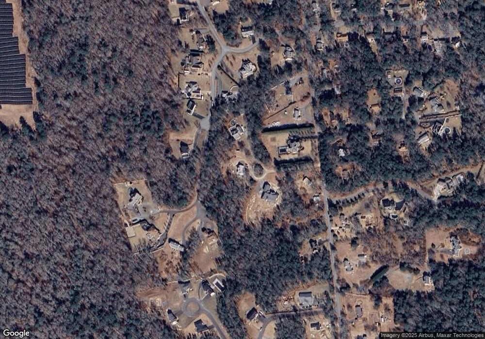
Map
Nearby Homes
- 73 White Oak Run
- 47 Fallon Dr
- Lot 0 Marcotte
- 0 Hidden Glen Ln
- 118 Charlotte White Rd Extension
- 3 Roller Coaster Way Unit Lot 1
- 461 Reed Rd
- 2 Slades Farm Ln
- 4 Main Rd
- 29 Union Ave
- 320 Old Westport Rd
- Lot 6 Rafael Rd
- 96 Forge Rd
- 312 Old Westport Rd
- 219 Chase Rd
- 310 Old Westport Rd
- 27 Dias Ave
- 8 Strawberry Ln
- 1150 Russells Mills Rd
- 332 Division Rd
- 1 Bluestone Ave
- 8 Bluestone Ave
- 3A,B Stage Coach Rd
- Lot 2A Stage Coach Rd
- Lot 3A Stage Coach Rd
- 0 Bluestone Ave Unit 70628518
- 0 Bluestone Ave Unit 70474290
- 0 Bluestone Ave Unit 72529084
- 0 Bluestone Ave Unit 72448436
- Lot A Bluestone Ave
- 361 Fisher Rd
- 377 Fisher Rd
- 19 Stagecoach Rd
- 6 Stagecoach Rd
- 12 Stagecoach Rd
- 383 Fisher Rd
- 357 Fisher Rd
- 13 Stagecoach Rd
- 351 Fisher Rd
- 389 Fisher Rd