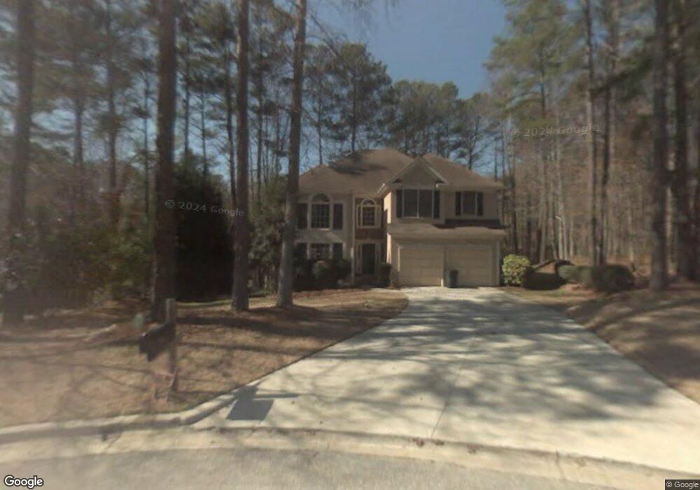
363 Harbor Pointe Dr Unit 1 Stone Mountain, GA 30087
Estimated Value: $352,000 - $395,000
3
Beds
3
Baths
2,383
Sq Ft
$157/Sq Ft
Est. Value
About This Home
This home is located at 363 Harbor Pointe Dr Unit 1, Stone Mountain, GA 30087 and is currently estimated at $373,862, approximately $156 per square foot. 363 Harbor Pointe Dr Unit 1 is a home located in DeKalb County with nearby schools including Princeton Elementary School, Stephenson Middle School, and Stephenson High School.
Ownership History
Date
Name
Owned For
Owner Type
Purchase Details
Closed on
Jul 29, 1993
Sold by
Mckenzie Perry Homes
Bought by
Wilson Juandell A Brenda
Current Estimated Value
Home Financials for this Owner
Home Financials are based on the most recent Mortgage that was taken out on this home.
Original Mortgage
$133,200
Interest Rate
7.39%
Create a Home Valuation Report for This Property
The Home Valuation Report is an in-depth analysis detailing your home's value as well as a comparison with similar homes in the area
Home Values in the Area
Average Home Value in this Area
Purchase History
| Date | Buyer | Sale Price | Title Company |
|---|---|---|---|
| Wilson Juandell A Brenda | $166,500 | -- |
Source: Public Records
Mortgage History
| Date | Status | Borrower | Loan Amount |
|---|---|---|---|
| Closed | Wilson Juandell A Brenda | $133,200 |
Source: Public Records
Tax History Compared to Growth
Tax History
| Year | Tax Paid | Tax Assessment Tax Assessment Total Assessment is a certain percentage of the fair market value that is determined by local assessors to be the total taxable value of land and additions on the property. | Land | Improvement |
|---|---|---|---|---|
| 2025 | $1,197 | $141,160 | $17,120 | $124,040 |
| 2024 | $1,319 | $135,840 | $17,120 | $118,720 |
| 2023 | $1,319 | $142,200 | $17,120 | $125,080 |
| 2022 | $3,596 | $114,080 | $17,120 | $96,960 |
| 2021 | $3,027 | $89,680 | $17,120 | $72,560 |
| 2020 | $2,684 | $79,560 | $17,120 | $62,440 |
| 2019 | $2,605 | $78,120 | $17,120 | $61,000 |
| 2018 | $2,025 | $78,120 | $17,120 | $61,000 |
| 2017 | $2,508 | $72,680 | $17,120 | $55,560 |
| 2016 | $1,412 | $42,720 | $17,120 | $25,600 |
| 2014 | $1,407 | $42,720 | $17,120 | $25,600 |
Source: Public Records
Map
Nearby Homes
- 7550 Waters Edge Dr
- 5380 Rock Place Dr
- 5115 Carole Place
- 3298 Drummond Dr Unit 2
- 5045 Carole Place
- 7593 Watson Bay Ct
- 3191 Mineral Ridge Ln
- 596 Watson Cove
- 7249 Misty Harbor Ct
- 7592 Watson Kaye
- 7606 Watson Kaye
- 672 Stonebridge Loop
- 5039 Seabrook Place
- 7536 Stonebridge Bay Ct
- 731 Bridgewood Ct
- 3216 Deshong Dr
- 392 Brookwater Ct
- 728 Stonebridge Crescent
- 731 Stonebridge Park Cir
- 734 Stonebridge Park Cir
- 357 Harbor Pointe Dr
- 7466 Woodruff Way
- 367 Harbor Pointe Dr
- 7460 Woodruff Way
- 356 Harbor Pointe Dr
- 7470 Woodruff Way
- 368 Harbor Pointe Dr
- 364 Harbor Pointe Dr
- 5181 Salem Dr
- 5180 Salem Dr
- 7454 Woodruff Way
- 7580 Waters Edge Dr
- 7469 Woodruff Way
- 211 Beechwood Ln
- 7463 Woodruff Way
- 7453 Woodruff Way
- 5170 Salem Dr
- 7448 Woodruff Way
- 5171 Salem Dr
- 207 Beechwood Ln Unit 6