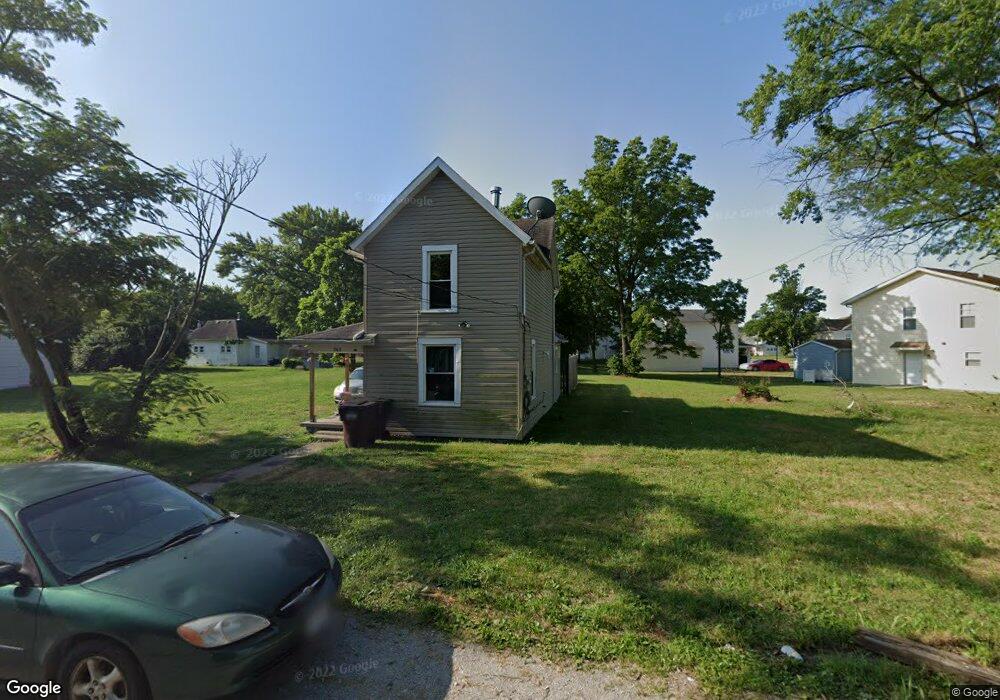
363 Hensel Ave Springfield, OH 45505
Estimated Value: $90,000 - $121,000
2
Beds
1
Bath
1,076
Sq Ft
$98/Sq Ft
Est. Value
About This Home
This home is located at 363 Hensel Ave, Springfield, OH 45505 and is currently estimated at $105,500, approximately $98 per square foot. 363 Hensel Ave is a home located in Clark County with nearby schools including Lincoln Elementary School, Hayward Middle School, and Springfield High School.
Ownership History
Date
Name
Owned For
Owner Type
Purchase Details
Closed on
Apr 4, 2025
Sold by
John A Gudorf Revocable Trust and Gudorf John A
Bought by
Mcwhorter Properties & General Construction L
Current Estimated Value
Purchase Details
Closed on
Dec 15, 2006
Sold by
Sparks Wesley and Sparks Michelle
Bought by
Wells Fargo Bank Na and Option One Mortgage Loan Trust 2000-C As
Purchase Details
Closed on
Nov 9, 2005
Sold by
Sparks Wesley L and Sparks Michelle
Bought by
Reeder Jeanette
Home Financials for this Owner
Home Financials are based on the most recent Mortgage that was taken out on this home.
Original Mortgage
$32,500
Interest Rate
10%
Mortgage Type
Seller Take Back
Create a Home Valuation Report for This Property
The Home Valuation Report is an in-depth analysis detailing your home's value as well as a comparison with similar homes in the area
Home Values in the Area
Average Home Value in this Area
Purchase History
| Date | Buyer | Sale Price | Title Company |
|---|---|---|---|
| Mcwhorter Properties & General Construction L | $35,000 | First Ohio Title Insurance | |
| Wells Fargo Bank Na | $12,000 | None Available | |
| Reeder Jeanette | $33,000 | -- |
Source: Public Records
Mortgage History
| Date | Status | Borrower | Loan Amount |
|---|---|---|---|
| Previous Owner | Gudorf John A | $38,000 | |
| Previous Owner | Reeder Jeanette | $32,500 | |
| Previous Owner | Sparks Wesley | $34,500 |
Source: Public Records
Tax History Compared to Growth
Tax History
| Year | Tax Paid | Tax Assessment Tax Assessment Total Assessment is a certain percentage of the fair market value that is determined by local assessors to be the total taxable value of land and additions on the property. | Land | Improvement |
|---|---|---|---|---|
| 2024 | $87 | $1,130 | $1,130 | -- |
| 2023 | $56 | $1,130 | $1,130 | $0 |
| 2022 | $225 | $4,450 | $1,130 | $3,320 |
| 2021 | $392 | $7,140 | $1,390 | $5,750 |
| 2020 | $393 | $7,140 | $1,390 | $5,750 |
| 2019 | $394 | $7,140 | $1,390 | $5,750 |
| 2018 | $360 | $6,250 | $1,390 | $4,860 |
| 2017 | $359 | $6,255 | $1,393 | $4,862 |
| 2016 | $360 | $6,255 | $1,393 | $4,862 |
Source: Public Records
Map
Nearby Homes
- 1820 Clay St
- 551 Georgia Ave
- 1519 Tibbetts Ave
- 1754 S Fountain Ave
- 550 E Rose St
- 1435 Logan Ave
- 127 Rice St
- 1414 Woodward Ave
- 0 W Perrin Ave Unit 945728
- 0 W Perrin Ave Unit 1041970
- 1355 S Fountain Ave
- 1361 Woodward Ave
- 1047 Cypress St
- 35 E Grand Ave
- 208 Corlington Dr
- 1159 Selma Rd
- 1603 W Wittenberg Blvd
- 1019 S Limestone St
- 1029 S Fountain Ave
- 1111 Lafayette Ave
- 371 Hensel Ave
- 373 Hensel Ave
- 1819 Clay St
- 364 Hensel Ave
- 362 Hensel Ave
- 366 Hensel Ave
- 1823 Clay St
- 1825 Clay St
- 1803 Kentucky Ave
- 1827 Clay St
- 1828 Clay St
- 1763 Kentucky Ave
- 1813 Kentucky Ave
- 1831 Clay St
- 1761 Kentucky Ave
- 1815 Kentucky Ave
- 1746 Clay St
- 1823 Kentucky Ave
- 1830 Clay St
- 1753 Kentucky Ave Unit 1755