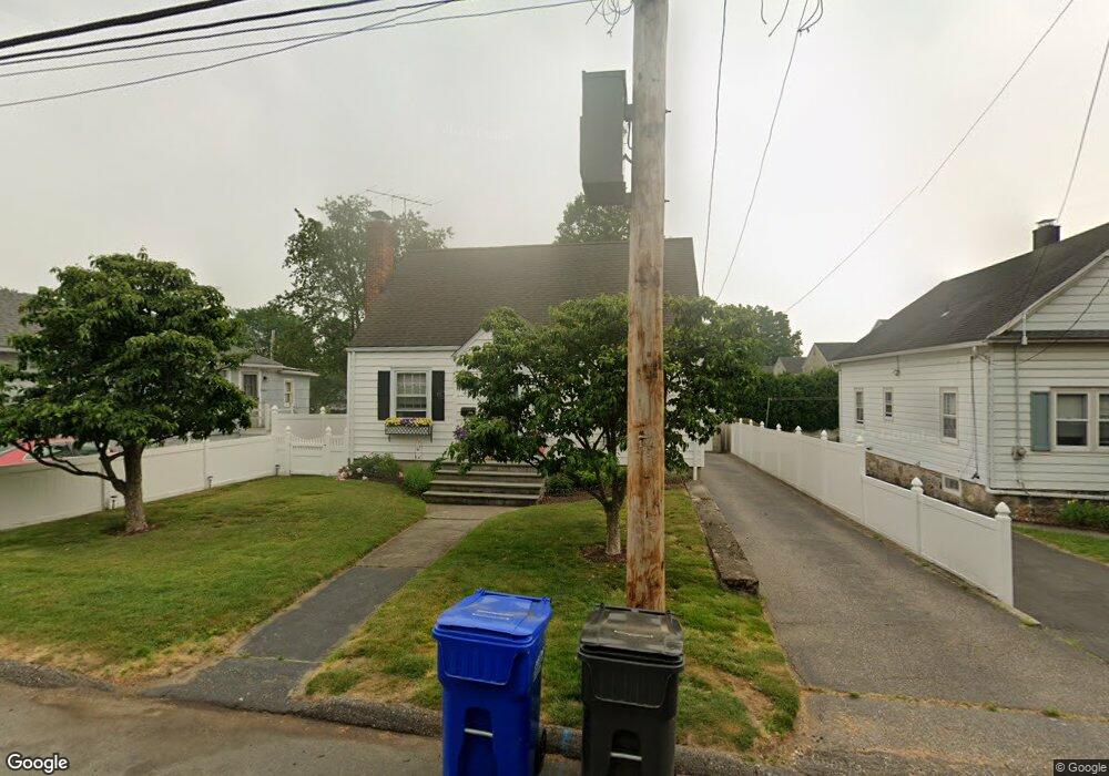
363 Lenox Rd Fairfield, CT 06825
Tunxis Hill NeighborhoodEstimated Value: $535,000 - $584,000
3
Beds
2
Baths
1,201
Sq Ft
$459/Sq Ft
Est. Value
About This Home
This home is located at 363 Lenox Rd, Fairfield, CT 06825 and is currently estimated at $550,802, approximately $458 per square foot. 363 Lenox Rd is a home located in Fairfield County with nearby schools including Mckinley Elementary School, Tomlinson Middle School, and Fairfield Warde High School.
Ownership History
Date
Name
Owned For
Owner Type
Purchase Details
Closed on
Nov 22, 2000
Sold by
Watcke Jeffrey and Watcke Eileen
Bought by
Adams David H and Adams Janice M
Current Estimated Value
Create a Home Valuation Report for This Property
The Home Valuation Report is an in-depth analysis detailing your home's value as well as a comparison with similar homes in the area
Home Values in the Area
Average Home Value in this Area
Purchase History
| Date | Buyer | Sale Price | Title Company |
|---|---|---|---|
| Adams David H | $200,000 | -- | |
| Adams David H | $200,000 | -- |
Source: Public Records
Mortgage History
| Date | Status | Borrower | Loan Amount |
|---|---|---|---|
| Open | Adams David H | $320,000 | |
| Closed | Adams David H | $66,700 | |
| Closed | Adams David H | $56,694 |
Source: Public Records
Tax History Compared to Growth
Tax History
| Year | Tax Paid | Tax Assessment Tax Assessment Total Assessment is a certain percentage of the fair market value that is determined by local assessors to be the total taxable value of land and additions on the property. | Land | Improvement |
|---|---|---|---|---|
| 2025 | $6,494 | $228,760 | $167,580 | $61,180 |
| 2024 | $6,382 | $228,760 | $167,580 | $61,180 |
| 2023 | $6,293 | $228,760 | $167,580 | $61,180 |
| 2022 | $6,231 | $228,760 | $167,580 | $61,180 |
| 2021 | $6,172 | $228,760 | $167,580 | $61,180 |
| 2020 | $5,513 | $205,800 | $139,650 | $66,150 |
| 2019 | $5,513 | $205,800 | $139,650 | $66,150 |
| 2018 | $5,425 | $205,800 | $139,650 | $66,150 |
| 2017 | $5,314 | $205,800 | $139,650 | $66,150 |
| 2016 | $5,238 | $205,800 | $139,650 | $66,150 |
| 2015 | $5,386 | $217,280 | $148,120 | $69,160 |
| 2014 | $5,302 | $217,280 | $148,120 | $69,160 |
Source: Public Records
Map
Nearby Homes
- 183 Vesper St
- 144 Warsaw St
- 376 Knapps Hwy
- 732 Tunxis Hill Rd
- 349 Marlborough Terrace
- 151 Knapps Hwy
- 42 Fairway Green
- 35 Knapps Hwy
- 108 Roseville St
- 89 Grace St
- 17 Hazel St
- 64 Moody Ave
- 155 Moody Ave
- 2660 North Ave Unit 217
- 1 Garden Dr
- 217 Fairland Dr
- 80 Cartright St Unit 5D
- 80 Cartright St Unit 8J
- 80 Cartright St Unit 2F
- 80 Cartright St Unit 8B