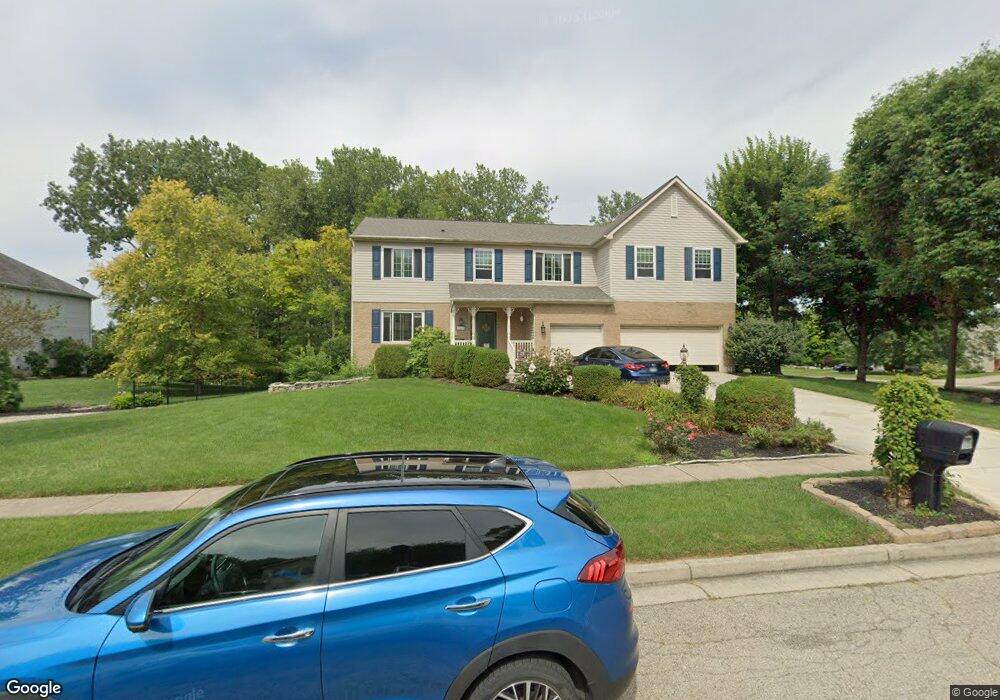
363 Mary Lou Cir Beavercreek, OH 45440
Estimated Value: $469,273 - $516,000
4
Beds
4
Baths
3,152
Sq Ft
$156/Sq Ft
Est. Value
About This Home
This home is located at 363 Mary Lou Cir, Beavercreek, OH 45440 and is currently estimated at $491,318, approximately $155 per square foot. 363 Mary Lou Cir is a home located in Greene County with nearby schools including Fairbrook Elementary School, Herman K Ankeney Middle School, and Beavercreek High School.
Ownership History
Date
Name
Owned For
Owner Type
Purchase Details
Closed on
Dec 9, 2015
Sold by
Adams Donald E and Adams Ann B
Bought by
Munger Joe and Munger Stacey
Current Estimated Value
Purchase Details
Closed on
Jun 11, 2001
Sold by
The Ryland Group Inc
Bought by
Adams Donald E and Adams Ann B
Home Financials for this Owner
Home Financials are based on the most recent Mortgage that was taken out on this home.
Original Mortgage
$177,300
Interest Rate
7.2%
Create a Home Valuation Report for This Property
The Home Valuation Report is an in-depth analysis detailing your home's value as well as a comparison with similar homes in the area
Home Values in the Area
Average Home Value in this Area
Purchase History
| Date | Buyer | Sale Price | Title Company |
|---|---|---|---|
| Munger Joe | $300,000 | None Available | |
| Adams Donald E | $221,800 | Ryland Title |
Source: Public Records
Mortgage History
| Date | Status | Borrower | Loan Amount |
|---|---|---|---|
| Previous Owner | Adams Donald E | $177,300 | |
| Closed | Adams Donald E | $33,250 |
Source: Public Records
Tax History Compared to Growth
Tax History
| Year | Tax Paid | Tax Assessment Tax Assessment Total Assessment is a certain percentage of the fair market value that is determined by local assessors to be the total taxable value of land and additions on the property. | Land | Improvement |
|---|---|---|---|---|
| 2024 | $8,046 | $123,230 | $27,550 | $95,680 |
| 2023 | $8,046 | $123,230 | $27,550 | $95,680 |
| 2022 | $7,136 | $96,490 | $21,190 | $75,300 |
| 2021 | $6,992 | $96,490 | $21,190 | $75,300 |
| 2020 | $7,044 | $96,490 | $21,190 | $75,300 |
| 2019 | $6,891 | $86,120 | $18,340 | $67,780 |
| 2018 | $6,082 | $86,120 | $18,340 | $67,780 |
| 2017 | $5,979 | $86,120 | $18,340 | $67,780 |
| 2016 | $6,274 | $86,110 | $18,340 | $67,770 |
| 2015 | $3,166 | $86,110 | $18,340 | $67,770 |
| 2014 | $3,072 | $86,110 | $18,340 | $67,770 |
Source: Public Records
Map
Nearby Homes
- 470 Cloverhill Ct
- 4212 Seema Dr
- 4489 Bucksport Ct
- 4493 Bucksport Ct
- 3170 E Stroop Rd
- 3170 E Stroop Rd Unit 307
- 4227 Wagner Rd
- 419 Carleton Dr
- 2841 Corlington Dr
- 3073 Santa Rosa Dr
- 3033 Glenmere Ct
- 4049 Pepperwell Cir
- 2816 Corlington Dr
- 3072 Leonora Dr
- 3878 Pepperwell Cir
- 3899 Pepperwell Cir
- 3241 Gracemore Ave
- 861 Acorn Dr
- 3034 Sandywood Dr
- 3117 Swigert Rd
- 377 Mary Lou Cir
- 364 Wayside Dr
- 25 Marquette Dr
- 378 Wayside Dr
- 4296 Marquette Dr
- 4306 Marquette Dr
- 384 Wayside Dr
- 4314 Marquette Dr
- 374 Mary Lou Cir
- 385 Mary Lou Cir
- 4290 Marquette Dr
- 390 Wayside Dr
- 392 Mary Lou Cir
- 4430 Frontenac Dr
- 4427 Frontenac Dr
- 365 Grand Vista Dr
- 4424 Frontenac Dr
- 398 Wayside Dr
- 375 Grand Vista Dr
- 351 Grand Vista Dr