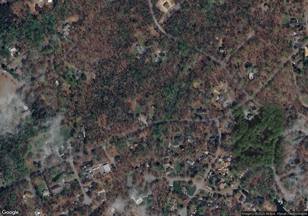
363 Mitchell Point Rd Mineral, VA 23117
Estimated Value: $312,000 - $401,000
3
Beds
3
Baths
1,920
Sq Ft
$187/Sq Ft
Est. Value
About This Home
This home is located at 363 Mitchell Point Rd, Mineral, VA 23117 and is currently estimated at $358,279, approximately $186 per square foot. 363 Mitchell Point Rd is a home located in Louisa County with nearby schools including Thomas Jefferson Elementary School, Louisa County Middle School, and Louisa County High School.
Ownership History
Date
Name
Owned For
Owner Type
Purchase Details
Closed on
Jun 16, 2022
Sold by
Kimble Joseph C
Bought by
Winland Donald D
Current Estimated Value
Home Financials for this Owner
Home Financials are based on the most recent Mortgage that was taken out on this home.
Original Mortgage
$109,500
Outstanding Balance
$104,190
Interest Rate
5.27%
Mortgage Type
New Conventional
Estimated Equity
$254,089
Create a Home Valuation Report for This Property
The Home Valuation Report is an in-depth analysis detailing your home's value as well as a comparison with similar homes in the area
Home Values in the Area
Average Home Value in this Area
Purchase History
| Date | Buyer | Sale Price | Title Company |
|---|---|---|---|
| Winland Donald D | $295,000 | Stewart Title | |
| Winland Donald D | $295,000 | Stewart Title | |
| Winland Donald D | $295,000 | Stewart Title |
Source: Public Records
Mortgage History
| Date | Status | Borrower | Loan Amount |
|---|---|---|---|
| Open | Winland Donald D | $109,500 | |
| Closed | Winland Donald D | $109,500 |
Source: Public Records
Tax History Compared to Growth
Tax History
| Year | Tax Paid | Tax Assessment Tax Assessment Total Assessment is a certain percentage of the fair market value that is determined by local assessors to be the total taxable value of land and additions on the property. | Land | Improvement |
|---|---|---|---|---|
| 2024 | $2,214 | $307,500 | $73,000 | $234,500 |
| 2023 | $1,942 | $283,900 | $61,700 | $222,200 |
| 2022 | $1,825 | $253,500 | $54,200 | $199,300 |
| 2021 | $1,805 | $250,700 | $54,200 | $196,500 |
| 2020 | $1,565 | $217,300 | $54,200 | $163,100 |
| 2019 | $1,467 | $203,800 | $54,200 | $149,600 |
| 2018 | $1,316 | $182,800 | $54,200 | $128,600 |
| 2017 | $1,279 | $177,600 | $54,200 | $123,400 |
| 2016 | $1,279 | $177,600 | $54,200 | $123,400 |
| 2015 | $1,261 | $175,200 | $56,500 | $118,700 |
| 2013 | -- | $169,000 | $59,500 | $109,500 |
Source: Public Records
Map
Nearby Homes
- Lot 28 Turkey Trail
- Lot 17 Mary Wayne Ln
- Lot 7 Pinewood Dr
- Lot 72 Madeline Ln
- 0 (Lot 5) New Bridge Rd
- 219 Oakwood Dr
- 0 Laurelwood Dr Unit VALA2008522
- 60 Laurelwood Dr
- 40 Grandview Dr
- Lot 11 Park Run
- Lot 2 & 6 New Bridge Rd
- 184 Anna Coves Blvd
- 315 Lakewood Cir
- 1502 New Bridge Rd
- 41 Lakeshore Ln
- 373 Hemlock Ln
- Lot 76 Centerville Rd
- 358 Hemlock Ln
- Lot 141 Tatum Dr
- 716 Pine Harbour Dr
- 351 Mitchell Point Rd
- 314 Mitchell Point Rd
- 394 Mitchell Point Rd
- 384 Mitchell Point Rd
- 298 Mitchell Point Rd
- 185 Beaver Pond Way
- 457 Mitchell Point Rd
- 435 Mitchell Point Rd
- 414 Mitchell Point Rd
- 115 Beaver Pond Way
- 263 Mitchell Point Rd
- 244 Laurel Ln
- 260 Laurel Ln
- 36 White Oak Dr
- 222 Laurel Ln
- 252 Mitchell Point Rd
- 219 Beaver Pond Way
- 55 Beaver Pond Way
- 68 White Oak Dr
- 0 Beaver Pond Way
