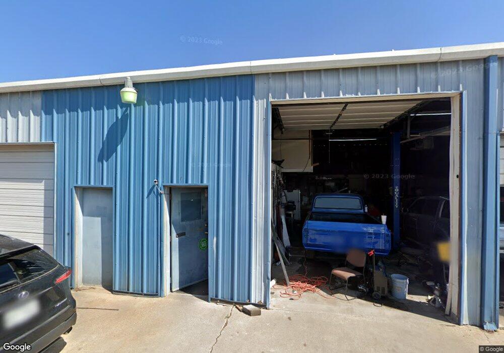
363 N Bryant Ave Midlothian, TX 76065
Estimated Value: $533,812
--
Bed
--
Bath
4,000
Sq Ft
$133/Sq Ft
Est. Value
About This Home
This home is located at 363 N Bryant Ave, Midlothian, TX 76065 and is currently estimated at $533,812, approximately $133 per square foot. 363 N Bryant Ave is a home located in Ellis County with nearby schools including T E Baxter Elementary School and Frank Seale Middle School.
Ownership History
Date
Name
Owned For
Owner Type
Purchase Details
Closed on
Oct 25, 2024
Sold by
Jtk Dyer Group Llc
Bought by
M-Star Holdings Llc
Current Estimated Value
Purchase Details
Closed on
Dec 31, 2013
Sold by
Bryant Eddie E and Bryant Mylinda D
Bought by
Jtk Dyer Group Llc
Home Financials for this Owner
Home Financials are based on the most recent Mortgage that was taken out on this home.
Original Mortgage
$98,400
Interest Rate
4.26%
Mortgage Type
Commercial
Create a Home Valuation Report for This Property
The Home Valuation Report is an in-depth analysis detailing your home's value as well as a comparison with similar homes in the area
Home Values in the Area
Average Home Value in this Area
Purchase History
| Date | Buyer | Sale Price | Title Company |
|---|---|---|---|
| M-Star Holdings Llc | -- | Designated Title | |
| Jtk Dyer Group Llc | -- | None Available |
Source: Public Records
Mortgage History
| Date | Status | Borrower | Loan Amount |
|---|---|---|---|
| Previous Owner | Jtk Dyer Group Llc | $98,400 |
Source: Public Records
Tax History Compared to Growth
Tax History
| Year | Tax Paid | Tax Assessment Tax Assessment Total Assessment is a certain percentage of the fair market value that is determined by local assessors to be the total taxable value of land and additions on the property. | Land | Improvement |
|---|---|---|---|---|
| 2025 | $5,461 | $516,366 | $241,133 | $275,233 |
| 2024 | $5,461 | $270,663 | $241,133 | $29,530 |
| 2023 | $5,461 | $250,000 | $241,133 | $8,867 |
| 2022 | $4,640 | $207,086 | $167,277 | $39,809 |
| 2021 | $3,313 | $140,000 | $43,780 | $96,220 |
| 2020 | $3,270 | $130,000 | $42,070 | $87,930 |
| 2019 | $3,194 | $121,950 | $0 | $0 |
| 2018 | $2,619 | $100,000 | $40,070 | $59,930 |
| 2017 | $2,662 | $100,000 | $40,070 | $59,930 |
| 2016 | $3,103 | $116,590 | $40,070 | $76,520 |
| 2015 | $2,959 | $116,590 | $40,070 | $76,520 |
| 2014 | $2,959 | $111,160 | $0 | $0 |
Source: Public Records
Map
Nearby Homes
- TBD Bryant Ave
- 536 N Bryant Ave
- 501 N 9th St
- 417 E Avenue F
- 809 Deleon Dr
- 810 Bolivar Dr
- 000 N 6th St
- 2281 Key Way
- 114 S 6th St
- 796 N 7th St
- 620 N 6th St
- TBD FM 663
- 714 Green Acres Ln
- 207 W Alabama Ave
- 1834 Rough Ridge Trail
- 912 Crockett St
- 3429 Herd Way
- 807 Crockett St
- 312 Overlook Dr
- TBD 1 acre Overlook Dr
- 207 E Avenue E
- 300 Bryant Ave
- 409 N Bryant Ave
- 423 N Bryant Ave
- 408 N Bryant Ave
- 101 East Ave E
- 445 N Bryant Ave
- 436 N Bryant Ave
- 304 E Avenue E
- 451 N Bryant Ave
- 214 N 11th St
- 2837 Shane Dr
- 2821 Shane Dr
- 2826 Shane Dr
- 308 E Avenue E
- 479 N Bryant Ave
- 0 N 9th St
- 464 N Bryant Ave
- 310 E Avenue E
- 493 N Bryant Ave