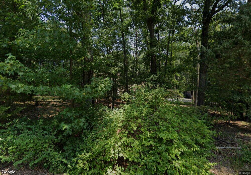
363 N Shore Rd Pasadena, MD 21122
Estimated Value: $721,000 - $957,000
6
Beds
3
Baths
3,093
Sq Ft
$264/Sq Ft
Est. Value
About This Home
This home is located at 363 N Shore Rd, Pasadena, MD 21122 and is currently estimated at $816,909, approximately $264 per square foot. 363 N Shore Rd is a home located in Anne Arundel County with nearby schools including Bodkin Elementary School, Chesapeake Bay Middle School, and Chesapeake High School.
Ownership History
Date
Name
Owned For
Owner Type
Purchase Details
Closed on
Oct 26, 2023
Sold by
Stephan Jack Earl and Stephan Virginia Marie
Bought by
Groat Deborah Ann and Stephan Harold Earl
Current Estimated Value
Purchase Details
Closed on
Aug 23, 1979
Bought by
Stephan Jack E and Stephan Virginia M
Home Financials for this Owner
Home Financials are based on the most recent Mortgage that was taken out on this home.
Original Mortgage
$108,800
Interest Rate
11.08%
Create a Home Valuation Report for This Property
The Home Valuation Report is an in-depth analysis detailing your home's value as well as a comparison with similar homes in the area
Home Values in the Area
Average Home Value in this Area
Purchase History
| Date | Buyer | Sale Price | Title Company |
|---|---|---|---|
| Groat Deborah Ann | -- | None Listed On Document | |
| Stephan Jack E | $37,000 | -- |
Source: Public Records
Mortgage History
| Date | Status | Borrower | Loan Amount |
|---|---|---|---|
| Previous Owner | Stephan Jack E | $108,800 |
Source: Public Records
Tax History Compared to Growth
Tax History
| Year | Tax Paid | Tax Assessment Tax Assessment Total Assessment is a certain percentage of the fair market value that is determined by local assessors to be the total taxable value of land and additions on the property. | Land | Improvement |
|---|---|---|---|---|
| 2025 | $4,885 | $589,333 | -- | -- |
| 2024 | $4,885 | $561,500 | $244,300 | $317,200 |
| 2023 | $4,773 | $561,500 | $244,300 | $317,200 |
| 2022 | $4,489 | $561,500 | $244,300 | $317,200 |
| 2021 | $8,846 | $561,500 | $244,300 | $317,200 |
| 2020 | $4,287 | $532,967 | $0 | $0 |
| 2019 | $4,194 | $504,433 | $0 | $0 |
| 2018 | $4,826 | $475,900 | $204,300 | $271,600 |
| 2017 | $3,926 | $461,100 | $0 | $0 |
| 2016 | -- | $446,300 | $0 | $0 |
| 2015 | -- | $431,500 | $0 | $0 |
| 2014 | -- | $431,500 | $0 | $0 |
Source: Public Records
Map
Nearby Homes
- 361 N Shore Rd
- 441 & 425 Carolina Ave
- 443 New York Ave
- 316 S Carolina Ave
- 415 Edgewater Rd
- 0 Maryland Ave
- 515 Sylview Drive - Sussex K Model
- 511 Sylvan Way
- 216 Hickory Point Rd
- 220 Falcon Dr
- 105 N Carolina Ave
- 26 Tennessee Ave
- 99 Maryland Ave
- 8359 Forest Glen Dr
- 509A Edgewater Rd
- 1419 Pond Ridge Dr
- 1590 Long Point Rd
- 1299 Montclair Dr
- 1215 Holmewood Dr
- 0 Cornfield Rd Unit MDAA2129524
- 1203 Villa Isle Ct
- 1208 Villa Isle Ct
- 1213 Magothy Rd
- 1221 Magothy Rd
- 1206 Villa Isle Ct
- 1204 Villa Isle Ct
- 1225 Magothy Rd
- 1220 Magothy Rd
- 1229 Magothy Rd
- 420 Georgia Ave
- 452 South Carolina Ave
- 452 S Carolina Ave
- 367 N Shore Rd
- 446 South Carolina Ave
- 446 S Carolina Ave
- 331 Edgewater Rd
- 442 South Carolina Ave
- 442 S Carolina Ave
- 1231 Magothy Rd
- 1202 Villa Isle Ct
