363 Normandy Dr Charlottesville, VA 22903
Southwest Charlottesville NeighborhoodEstimated Value: $1,049,000 - $1,398,000
4
Beds
6
Baths
4,225
Sq Ft
$299/Sq Ft
Est. Value
About This Home
This home is located at 363 Normandy Dr, Charlottesville, VA 22903 and is currently estimated at $1,264,982, approximately $299 per square foot. 363 Normandy Dr is a home located in Albemarle County with nearby schools including Brownsville Elementary School, Joseph T. Henley Middle School, and Western Albemarle High School.
Ownership History
Date
Name
Owned For
Owner Type
Purchase Details
Closed on
May 5, 2016
Sold by
Patzig Robert M and Patzig Eileen C
Bought by
Patzig Trust
Current Estimated Value
Purchase Details
Closed on
Aug 2, 2012
Sold by
Fortner Everette W and Fortner Sally D
Bought by
Patzig Robert M and Patzig Eileen C
Home Financials for this Owner
Home Financials are based on the most recent Mortgage that was taken out on this home.
Original Mortgage
$417,000
Interest Rate
3.87%
Mortgage Type
New Conventional
Create a Home Valuation Report for This Property
The Home Valuation Report is an in-depth analysis detailing your home's value as well as a comparison with similar homes in the area
Home Values in the Area
Average Home Value in this Area
Purchase History
| Date | Buyer | Sale Price | Title Company |
|---|---|---|---|
| Patzig Trust | -- | -- | |
| Patzig Robert M | $685,000 | None Available |
Source: Public Records
Mortgage History
| Date | Status | Borrower | Loan Amount |
|---|---|---|---|
| Previous Owner | Patzig Robert M | $417,000 |
Source: Public Records
Tax History
| Year | Tax Paid | Tax Assessment Tax Assessment Total Assessment is a certain percentage of the fair market value that is determined by local assessors to be the total taxable value of land and additions on the property. | Land | Improvement |
|---|---|---|---|---|
| 2025 | $9,694 | $1,084,300 | $224,100 | $860,200 |
| 2024 | -- | $964,200 | $224,100 | $740,100 |
| 2023 | $8,291 | $970,900 | $224,100 | $746,800 |
| 2022 | $7,133 | $835,300 | $194,200 | $641,100 |
| 2021 | $6,986 | $818,000 | $201,900 | $616,100 |
| 2020 | $6,311 | $739,000 | $179,300 | $559,700 |
| 2019 | $6,179 | $723,500 | $179,300 | $544,200 |
| 2018 | $5,866 | $699,200 | $194,200 | $505,000 |
| 2017 | $5,866 | $699,200 | $194,200 | $505,000 |
| 2016 | $5,565 | $663,300 | $194,200 | $469,100 |
| 2015 | $5,370 | $655,700 | $194,200 | $461,500 |
| 2014 | -- | $650,000 | $194,200 | $455,800 |
Source: Public Records
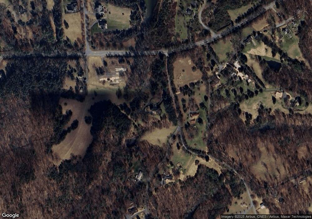
Map
Nearby Homes
- 820 Carlyle Place
- 270 Remington Place
- 6131 Westhall Dr
- 10 Eagle View
- 10 Eagle View Unit Lot 10 Fairhill Esta
- 2019 Fairhill Mountain View
- 6065 Westhall Dr
- 626 Jonna St
- 1026 Highlands Dr
- 1051 Old Fox Trail Ln
- 1511 Wickham Pond Dr
- 2049 Meyers Way
- 1095 Autumn Hill Ct
- 5485 Jamestown Ct
- 1202 Stonegate Way
- 1838 Wickham Place
- 1110 Highlands Dr
- 368 Joliet Ct
- 1322 Stonegate Ct
- 1973 Delila Dr
- 4899 Parsons Green Ln
- 4995 Rockfish Gap Turnpike
- 4869 Parsons Green Ln
- 365 Normandy Dr
- 369 Normandy Dr
- 5001 Rockfish Gap Turnpike
- 4853 Parsons Green Ln
- 414 Foxdale Ln
- 24 Foxdale Ln
- 0 Foxdale Ln Unit 457436
- 0 Foxdale Ln Unit 529988
- 4906 Rockfish Gap Turnpike Unit 2
- 4906 Rockfish Gap Turnpike
- 430 Foxdale Ln
- 366 Normandy Dr
- 0 Rockfish Gap Turnpike Unit 514272
- 0 Rockfish Gap Turnpike Unit 517080
- 0 Rockfish Gap Turnpike
- 4833 Parsons Green Ln
- 425 Foxdale Ln
Your Personal Tour Guide
Ask me questions while you tour the home.