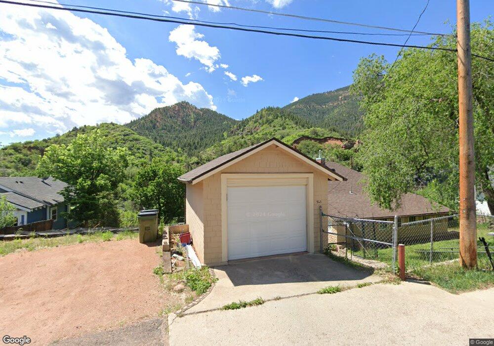
363 Pilot Knob Ave Manitou Springs, CO 80829
Estimated Value: $352,000 - $450,408
2
Beds
1
Bath
1,133
Sq Ft
$365/Sq Ft
Est. Value
About This Home
This home is located at 363 Pilot Knob Ave, Manitou Springs, CO 80829 and is currently estimated at $413,102, approximately $364 per square foot. 363 Pilot Knob Ave is a home located in El Paso County with nearby schools including Manitou Springs Elementary School, Manitou Springs Middle School, and Manitou Springs High School.
Ownership History
Date
Name
Owned For
Owner Type
Purchase Details
Closed on
Sep 18, 2013
Sold by
U S Bank National Association
Bought by
Dittenhofer William H
Current Estimated Value
Purchase Details
Closed on
Jul 31, 2013
Sold by
Fleming Daniel R
Bought by
U S Bank National Association
Purchase Details
Closed on
Sep 25, 2006
Sold by
Osburn Nancy C
Bought by
Fleming Daniel R
Home Financials for this Owner
Home Financials are based on the most recent Mortgage that was taken out on this home.
Original Mortgage
$210,000
Interest Rate
8.75%
Mortgage Type
Unknown
Create a Home Valuation Report for This Property
The Home Valuation Report is an in-depth analysis detailing your home's value as well as a comparison with similar homes in the area
Home Values in the Area
Average Home Value in this Area
Purchase History
| Date | Buyer | Sale Price | Title Company |
|---|---|---|---|
| Dittenhofer William H | $168,000 | Bay National Title Co | |
| U S Bank National Association | -- | None Available | |
| Fleming Daniel R | $210,000 | Peoples National Title |
Source: Public Records
Mortgage History
| Date | Status | Borrower | Loan Amount |
|---|---|---|---|
| Previous Owner | Fleming Daniel R | $210,000 |
Source: Public Records
Tax History Compared to Growth
Tax History
| Year | Tax Paid | Tax Assessment Tax Assessment Total Assessment is a certain percentage of the fair market value that is determined by local assessors to be the total taxable value of land and additions on the property. | Land | Improvement |
|---|---|---|---|---|
| 2025 | $2,083 | $33,030 | -- | -- |
| 2024 | $1,904 | $32,090 | $3,540 | $28,550 |
| 2022 | $1,706 | $23,080 | $3,340 | $19,740 |
| 2021 | $1,778 | $23,730 | $3,430 | $20,300 |
| 2020 | $1,557 | $19,800 | $2,860 | $16,940 |
| 2019 | $1,653 | $19,800 | $2,860 | $16,940 |
| 2018 | $1,532 | $17,410 | $2,220 | $15,190 |
| 2017 | $1,354 | $17,410 | $2,220 | $15,190 |
| 2016 | $1,326 | $17,040 | $2,230 | $14,810 |
| 2015 | $1,311 | $17,040 | $2,230 | $14,810 |
| 2014 | $1,131 | $15,630 | $1,970 | $13,660 |
Source: Public Records
Map
Nearby Homes
- 151 Ruxton Ave
- 210 Mesa Ave
- 153 Capitol Hill Ave
- 125 Ruxton Ave
- 206 Pine Ridge Ave
- 1117 Manitou Ave
- 1107 Manitou Ave
- 128 Cave Ave
- 0 Manitou Terrace
- 136 Cave Ave
- 140 Cave Ave
- 527 Canon Ave
- 529 Canon Ave
- 0 Charcas Rd Unit REC3377987
- 0 Charcas Rd Unit 1024513
- 105 Pawnee Ave
- 103 Deer Path Ave
- 34 Fountain Place
- 135 South Path
- 1096 Laguna Point
- 357 Pilot Knob Ave
- 369 Pilot Knob Ave
- 353 Pilot Knob Ave
- 371 Pilot Knob Ave
- 364 Pilot Knob Ave
- 373 Pilot Knob Ave
- 354 Pilot Knob Ave
- 368 Pilot Knob Ave
- 332 Ruxton Ave
- 342 Ruxton Ave
- 375 Pilot Knob Ave
- 370 Pilot Knob Ave
- 349 Pilot Knob Ave
- 350 Ruxton Ave
- 373 Bluff Ave Unit 375
- 373 Bluff Ave
- 346 Pilot Knob Ave
- 324 Ruxton Ave
- 347 Pilot Knob Ave
- 372 Pilot Knob Ave