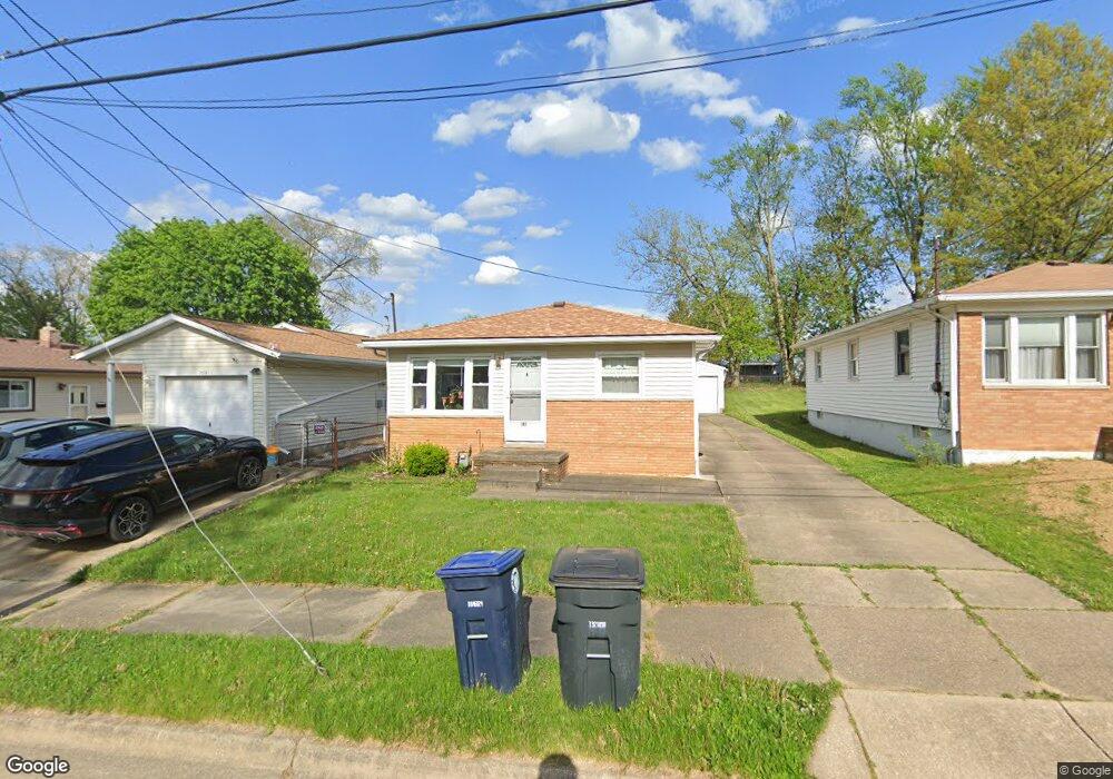
363 Stanley Rd Akron, OH 44312
Ellet NeighborhoodEstimated Value: $152,762 - $187,000
3
Beds
2
Baths
960
Sq Ft
$170/Sq Ft
Est. Value
About This Home
This home is located at 363 Stanley Rd, Akron, OH 44312 and is currently estimated at $163,441, approximately $170 per square foot. 363 Stanley Rd is a home located in Summit County with nearby schools including Ellet High School, Summit Academy Akron Elementary School, and Akron Preparatory school.
Ownership History
Date
Name
Owned For
Owner Type
Purchase Details
Closed on
Oct 29, 2018
Sold by
Estate Of Gregory A Cook
Bought by
Cook Sheila M and Minor Sheila J
Current Estimated Value
Purchase Details
Closed on
Jun 22, 2001
Sold by
Cook Virginia F
Bought by
Cook Gregory A
Purchase Details
Closed on
Jun 5, 2001
Sold by
Estate Of Charles L Cook
Bought by
Cook Virginia F
Create a Home Valuation Report for This Property
The Home Valuation Report is an in-depth analysis detailing your home's value as well as a comparison with similar homes in the area
Home Values in the Area
Average Home Value in this Area
Purchase History
| Date | Buyer | Sale Price | Title Company |
|---|---|---|---|
| Cook Sheila M | -- | None Available | |
| Cook Gregory A | -- | -- | |
| Cook Virginia F | -- | -- |
Source: Public Records
Tax History Compared to Growth
Tax History
| Year | Tax Paid | Tax Assessment Tax Assessment Total Assessment is a certain percentage of the fair market value that is determined by local assessors to be the total taxable value of land and additions on the property. | Land | Improvement |
|---|---|---|---|---|
| 2025 | $2,104 | $38,794 | $9,527 | $29,267 |
| 2024 | $2,104 | $38,794 | $9,527 | $29,267 |
| 2023 | $2,104 | $38,794 | $9,527 | $29,267 |
| 2022 | $2,016 | $29,190 | $7,056 | $22,134 |
| 2021 | $2,018 | $29,190 | $7,056 | $22,134 |
| 2020 | $1,988 | $29,190 | $7,060 | $22,130 |
| 2019 | $1,985 | $26,480 | $6,700 | $19,780 |
| 2018 | $1,959 | $26,480 | $6,700 | $19,780 |
| 2017 | $2,095 | $26,480 | $6,700 | $19,780 |
| 2016 | $2,096 | $27,910 | $6,700 | $21,210 |
| 2015 | $2,095 | $27,910 | $6,700 | $21,210 |
| 2014 | $2,078 | $27,910 | $6,700 | $21,210 |
| 2013 | $2,035 | $27,910 | $6,700 | $21,210 |
Source: Public Records
Map
Nearby Homes
- 427 Fulmer Ave
- 452 Herbert Rd
- 490 Stephens Rd
- 515 Hillman Rd
- 406 Baldwin Rd
- 1835 Penthley Ave
- 586 Hillman Rd
- 594 Hillman Rd Unit 596
- 597 Hillman Rd
- 198 Hilbish Ave
- 600 Hillman Rd Unit 602
- 159 Dellenberger Ave
- 560 Massillon Rd
- 625 Fulmer Ave
- 181 Hilbish Ave
- 195 Prairie Dr
- 226 Homewood Ave
- 1629 Wildon Ave
- 0 Essex St
- 1549 Merrill Ave
- 359 Stanley Rd
- 367 Stanley Rd
- 355 Stanley Rd
- 1991 Daniels Ave Unit 1993
- 1993 Daniels Ave
- 351 Stanley Rd
- 380 Lansing Rd
- 384 Lansing Rd
- 376 Lansing Rd
- 345 Stanley Rd
- 370 Lansing Rd
- 2001 Daniels Ave
- 1992 Daniels Ave
- 368 Stanley Rd
- 360 Stanley Rd
- 356 Stanley Rd
- 372 Stanley Rd
- 366 Lansing Rd
- 352 Stanley Rd
- 348 Stanley Rd