363 Tranquil Peak Ct Henderson, NV 89012
MacDonald Highlands NeighborhoodEstimated Value: $2,391,000 - $2,818,000
3
Beds
3
Baths
3,028
Sq Ft
$858/Sq Ft
Est. Value
About This Home
This home is located at 363 Tranquil Peak Ct, Henderson, NV 89012 and is currently estimated at $2,599,337, approximately $858 per square foot. 363 Tranquil Peak Ct is a home with nearby schools including Bob Miller Middle School, Foothill High School, and Nevada State High School Henderson.
Ownership History
Date
Name
Owned For
Owner Type
Purchase Details
Closed on
Jan 31, 2025
Sold by
Cheryl L Effron Family Trust and Effron Cheryl L
Bought by
Cheryl L Effron Family Protection Trust and Effron
Current Estimated Value
Purchase Details
Closed on
Oct 25, 2019
Sold by
Vu Llc
Bought by
Effron Cheryl L and Cheryl L Effron Family Trust
Home Financials for this Owner
Home Financials are based on the most recent Mortgage that was taken out on this home.
Original Mortgage
$1,000,000
Interest Rate
3%
Mortgage Type
New Conventional
Create a Home Valuation Report for This Property
The Home Valuation Report is an in-depth analysis detailing your home's value as well as a comparison with similar homes in the area
Home Values in the Area
Average Home Value in this Area
Purchase History
| Date | Buyer | Sale Price | Title Company |
|---|---|---|---|
| Cheryl L Effron Family Protection Trust | -- | None Listed On Document | |
| Effron Cheryl L | $1,983,855 | First American Title |
Source: Public Records
Mortgage History
| Date | Status | Borrower | Loan Amount |
|---|---|---|---|
| Previous Owner | Effron Cheryl L | $1,000,000 |
Source: Public Records
Tax History Compared to Growth
Tax History
| Year | Tax Paid | Tax Assessment Tax Assessment Total Assessment is a certain percentage of the fair market value that is determined by local assessors to be the total taxable value of land and additions on the property. | Land | Improvement |
|---|---|---|---|---|
| 2025 | $10,619 | $582,579 | $253,750 | $328,829 |
| 2024 | $10,310 | $582,579 | $253,750 | $328,829 |
| 2023 | $9,718 | $480,491 | $183,750 | $296,741 |
| 2022 | $10,010 | $464,737 | $183,750 | $280,987 |
| 2021 | $9,718 | $395,546 | $165,375 | $230,171 |
| 2020 | $9,432 | $399,248 | $161,875 | $237,373 |
| 2019 | $2,419 | $113,715 | $113,312 | $403 |
Source: Public Records
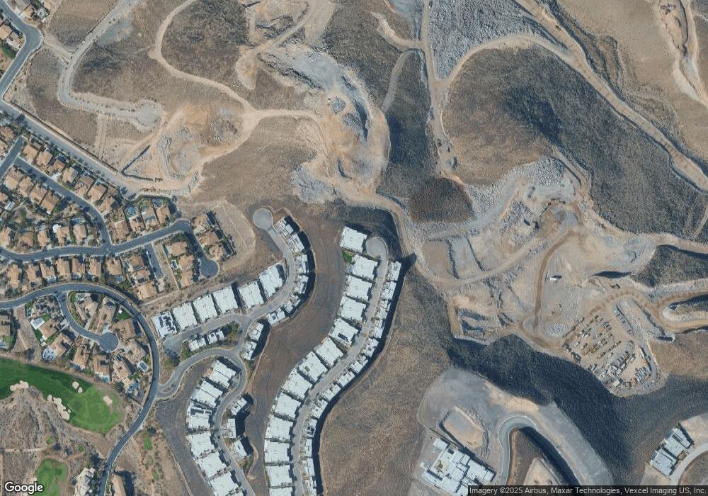
Map
Nearby Homes
- 375 Tranquil Peak Ct
- 387 Solitude Peak Ln
- 409 Net Zero
- 405 Net Zero
- 414 Net Zero Dr
- 1224 Starview Peak Ct
- 1228 Starview Peak Ct
- 1237 Starview Peak Ct
- 431 Net Zero Dr
- 442 Serenity Point Dr
- 455 Tranquil Peak Ct
- 422 Stone Lair Ct
- 1188 Royal Tesla Ct
- 471 Serenity Point Dr
- 1192 Royal Tesla Ct
- 0 Viento Puntero Dr Unit 2700143
- 348 Unicorn Hills Dr
- 491 Cityview Ridge Dr
- 1204 Powerwall Place
- 447 Rock Peak Dr
- 359 Tranquil Peak Ct
- 367 Tranquil Peak Ct
- 354 Tranquil Peak Ct
- 379 Tranquil Peak Ct
- 358 Tranquil Peak Ct
- 366 Solitude Peak Ln
- 362 Tranquil Peak Ct
- 370 Solitude Peak Ln
- 362 Solitude Peak Ln
- 383 Tranquil Peak Ct
- 366 Tranquil Peak Ct
- 374 Solitude Peak Ln
- 358 Solitude Peak Ln
- 370 Tranquil Peak Ct
- 341 Net Zero Dr
- 354 Solitude Peak Ln
- 378 Solitude Peak Ln
- 387 Tranquil Peak Ct
- 350 Solitude Peak Ln
- 374 Tranquil Peak Ct