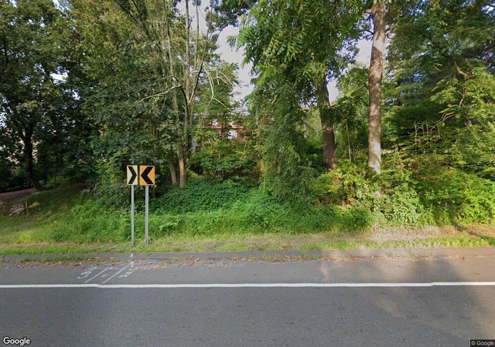
363 Wilton Rd Westport, CT 06880
Red Coat NeighborhoodEstimated Value: $411,000 - $1,990,000
3
Beds
4
Baths
2,980
Sq Ft
$358/Sq Ft
Est. Value
About This Home
This home is located at 363 Wilton Rd, Westport, CT 06880 and is currently estimated at $1,067,207, approximately $358 per square foot. 363 Wilton Rd is a home located in Fairfield County with nearby schools including King's Highway Elementary School, Coleytown Middle School, and Staples High School.
Create a Home Valuation Report for This Property
The Home Valuation Report is an in-depth analysis detailing your home's value as well as a comparison with similar homes in the area
Home Values in the Area
Average Home Value in this Area
Tax History Compared to Growth
Tax History
| Year | Tax Paid | Tax Assessment Tax Assessment Total Assessment is a certain percentage of the fair market value that is determined by local assessors to be the total taxable value of land and additions on the property. | Land | Improvement |
|---|---|---|---|---|
| 2025 | $2,052 | $108,800 | $79,000 | $29,800 |
| 2024 | $2,026 | $108,800 | $79,000 | $29,800 |
| 2023 | $1,996 | $108,800 | $79,000 | $29,800 |
| 2022 | $1,966 | $108,800 | $79,000 | $29,800 |
| 2021 | $1,966 | $108,800 | $79,000 | $29,800 |
| 2020 | $1,768 | $117,600 | $79,500 | $38,100 |
| 2019 | $1,983 | $117,600 | $79,500 | $38,100 |
| 2018 | $1,983 | $117,600 | $79,500 | $38,100 |
| 2017 | $1,983 | $117,600 | $79,500 | $38,100 |
| 2016 | $1,983 | $117,600 | $79,500 | $38,100 |
| 2015 | $1,847 | $102,100 | $64,100 | $38,000 |
| 2014 | $1,832 | $102,100 | $64,100 | $38,000 |
Source: Public Records
Map
Nearby Homes
- 25 Hermit Ln
- 4A Newtown Turnpike
- 6 Tulip Tree Ln
- 93 E Meadow Rd
- 10 Twin Falls Ln
- 32 Thistle Rd
- 30 Cavalry Rd
- 4 Newtown Turnpike
- 29 Grumman Ave
- 87 Red Coat Rd
- 56 Partrick Rd
- 259 Wilton Rd
- 41 Mohawk Dr
- 57 Partrick Rd
- 27 Stonecrop Rd
- 28 Village Ct
- 17 Huckleberry Ln
- 31 Riverfield Dr
- 41 Richmondville Ave Unit 104
- 41 Richmondville Ave Unit Duplex 2
