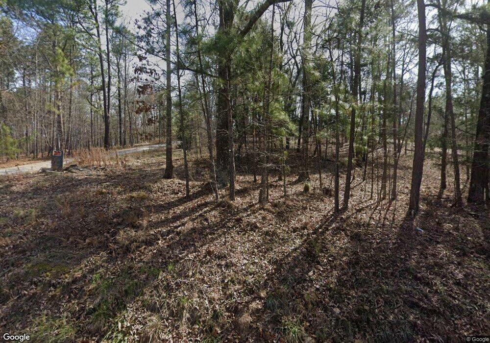
363 Wooten Rd Cedartown, GA 30125
Estimated Value: $285,000 - $467,000
3
Beds
2
Baths
1,757
Sq Ft
$225/Sq Ft
Est. Value
About This Home
This home is located at 363 Wooten Rd, Cedartown, GA 30125 and is currently estimated at $395,078, approximately $224 per square foot. 363 Wooten Rd is a home located in Polk County.
Ownership History
Date
Name
Owned For
Owner Type
Purchase Details
Closed on
Aug 14, 1998
Sold by
Mcclarty Scarlett W
Bought by
Sotzin Charles K and Sotzin Corinne E
Current Estimated Value
Purchase Details
Closed on
Aug 26, 1996
Sold by
Hunt George E
Bought by
Mcclarty Scarlett W
Purchase Details
Closed on
Mar 19, 1984
Bought by
Hunt George E
Purchase Details
Closed on
Apr 9, 1976
Sold by
Ridgeway Walter D
Bought by
Hunt George E
Purchase Details
Closed on
Apr 25, 1970
Sold by
Cobb J M
Bought by
Ridgeway Walter D
Purchase Details
Closed on
Nov 19, 1945
Bought by
Cobb J M
Create a Home Valuation Report for This Property
The Home Valuation Report is an in-depth analysis detailing your home's value as well as a comparison with similar homes in the area
Home Values in the Area
Average Home Value in this Area
Purchase History
| Date | Buyer | Sale Price | Title Company |
|---|---|---|---|
| Sotzin Charles K | $36,300 | -- | |
| Mcclarty Scarlett W | $50,000 | -- | |
| Hunt George E | -- | -- | |
| Hunt George E | -- | -- | |
| Ridgeway Walter D | -- | -- | |
| Cobb J M | -- | -- |
Source: Public Records
Tax History Compared to Growth
Tax History
| Year | Tax Paid | Tax Assessment Tax Assessment Total Assessment is a certain percentage of the fair market value that is determined by local assessors to be the total taxable value of land and additions on the property. | Land | Improvement |
|---|---|---|---|---|
| 2024 | $2,327 | $126,054 | $15,486 | $110,568 |
| 2023 | $1,816 | $89,894 | $15,486 | $74,408 |
| 2022 | $1,479 | $75,708 | $10,324 | $65,384 |
| 2021 | $1,498 | $75,708 | $10,324 | $65,384 |
| 2020 | $1,493 | $75,388 | $10,324 | $65,064 |
| 2019 | $1,459 | $67,654 | $10,324 | $57,330 |
| 2018 | $1,716 | $64,269 | $10,324 | $53,945 |
| 2017 | $1,694 | $64,269 | $10,324 | $53,945 |
| 2016 | $1,844 | $69,759 | $15,814 | $53,945 |
| 2015 | $2,165 | $81,334 | $15,814 | $65,520 |
| 2014 | $1,801 | $67,515 | $15,814 | $51,701 |
Source: Public Records
Map
Nearby Homes
- 1838 Antioch Rd
- 160 Tate Rd
- 176 Runyon Loop
- 45 York Cir
- 0 Runyon Loop Unit 10606366
- 0 Runyon Loop Unit 7650113
- 766 Antioch Rd
- 0 Youngs Farm Rd Unit 24829378
- 0 Buchanan Hwy Unit 10558945
- 102 acres Youngs Farm Rd
- 255 Mildred Dr
- 4550 Buchanan Hwy
- 95 Wieuca Way
- 480 Cason Rd
- 9236 Tallapoosa Hwy
- 4267 Buchanan Hwy
- 0 Coaling Rd Unit 9221-D 10352096
- 0 Coaling Rd Unit 9221-C 10352086
- 0 Coaling Rd Unit 9221 10352063
- 0 Coaling Rd Unit 9221-B 10352079
